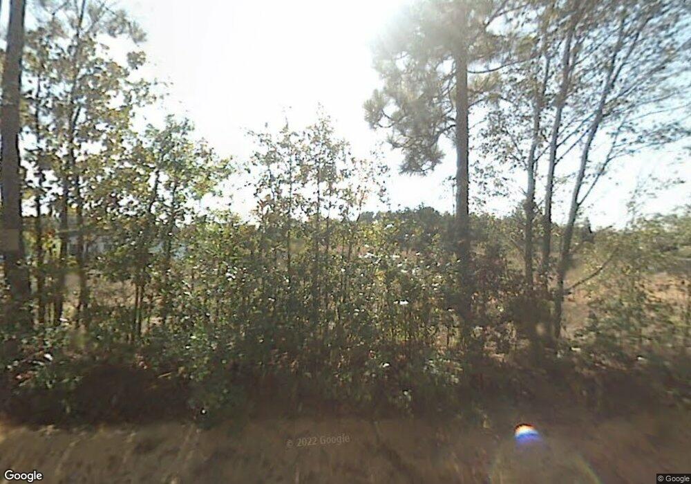
137 David Rish Rd Leesville, SC 29070
Estimated Value: $210,436 - $257,000
Studio
--
Bath
840
Sq Ft
$278/Sq Ft
Est. Value
About This Home
This home is located at 137 David Rish Rd, Leesville, SC 29070 and is currently estimated at $233,718, approximately $278 per square foot. 137 David Rish Rd is a home located in Lexington County with nearby schools including Gilbert Elementary School, Gilbert Middle School, and Gilbert High School.
Ownership History
Date
Name
Owned For
Owner Type
Purchase Details
Closed on
Oct 24, 2024
Sold by
Huffman Kevin E and Mccarty Timothy Andy
Bought by
Caudill Gregory Alan and Mccarty Brandy Dyane
Current Estimated Value
Home Financials for this Owner
Home Financials are based on the most recent Mortgage that was taken out on this home.
Original Mortgage
$221,839
Outstanding Balance
$219,390
Interest Rate
6.09%
Mortgage Type
New Conventional
Estimated Equity
$14,328
Purchase Details
Closed on
Aug 3, 2010
Sold by
Huffman Kevin E
Bought by
Huffman Kevin E and Mccarty Timothy Andy
Create a Home Valuation Report for This Property
The Home Valuation Report is an in-depth analysis detailing your home's value as well as a comparison with similar homes in the area
Purchase History
| Date | Buyer | Sale Price | Title Company |
|---|---|---|---|
| Caudill Gregory Alan | -- | None Listed On Document | |
| Caudill Gregory Alan | -- | None Listed On Document | |
| Huffman Kevin E | -- | -- |
Source: Public Records
Mortgage History
| Date | Status | Borrower | Loan Amount |
|---|---|---|---|
| Open | Caudill Gregory Alan | $221,839 | |
| Closed | Caudill Gregory Alan | $221,839 |
Source: Public Records
Tax History
| Year | Tax Paid | Tax Assessment Tax Assessment Total Assessment is a certain percentage of the fair market value that is determined by local assessors to be the total taxable value of land and additions on the property. | Land | Improvement |
|---|---|---|---|---|
| 2024 | -- | $3,863 | $3,608 | $255 |
| 2023 | $1,311 | $3,863 | $3,608 | $255 |
| 2022 | $1,270 | $3,863 | $3,608 | $255 |
| 2020 | $1,306 | $3,863 | $3,608 | $255 |
| 2019 | $1,152 | $3,360 | $3,080 | $280 |
| 2018 | $1,141 | $3,360 | $3,080 | $280 |
| 2017 | $1,119 | $3,360 | $3,080 | $280 |
| 2016 | $1,089 | $3,360 | $3,080 | $280 |
| 2014 | $1,055 | $3,513 | $3,313 | $200 |
| 2013 | -- | $3,510 | $3,310 | $200 |
Source: Public Records
Map
Nearby Homes
- 506 Hallman Mill Rd
- 357 Bethlehem Cir
- 369 Bethlehem Cir
- TBD Neely Wingard at Musket Rd
- 1811 Martin Smith Rd
- 0 Marcellus Rd
- 342 Isiah Hallman Rd
- 0 Martin Smith Rd Unit 24428119
- 5008 Two Notch Rd
- 1153 Marcellus Rd
- 5100 Two Notch Rd
- 257 Rimrock Rd
- 396 Volliedale Dr
- 4652 Two Notch Rd
- 105 Indian Trace Ct
- 1539 Ben Franklin Rd
- 0 Ben Franklin Rd
- 2715 Pond Branch Rd
- 226 Providence Rd
- 230 Providence Rd
- 116 David Rish Rd
- 221 Elzie Hallman Rd
- 123 Hallman Mill Rd
- 117 Hallman Mill Rd
- 2304 A C Bouknight Rd
- 209 Elzie Hallman Rd
- 111 Hallman Mill Rd
- 169 Elzie Hallman Rd
- 159 Elzie Hallman Rd
- 159 Elzie Hallman Rd
- 153 Elzie Hallman Rd
- 241 Elzie Hallman Rd
- 151 Elzie Hallman Rd
- 223 Hallman Mill Rd
- 271 Elzie Hallman Rd
- 147 Elzie Hallman Rd
- 300 Elzie Hallman Rd
- 143 Elzie Hallman Rd
- 2271 Pond Branch Rd
- 2233 Pond Branch Rd
Your Personal Tour Guide
Ask me questions while you tour the home.
