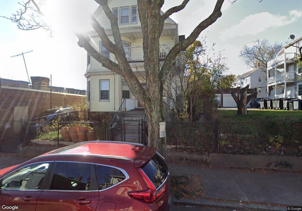
137 Devon St Dorchester, MA 02121
Dudley-Brunswick King NeighborhoodEstimated Value: $812,000 - $1,051,000
6
Beds
2
Baths
3,597
Sq Ft
$244/Sq Ft
Est. Value
About This Home
This home is located at 137 Devon St, Dorchester, MA 02121 and is currently estimated at $878,044, approximately $244 per square foot. 137 Devon St is a home located in Suffolk County with nearby schools including Uncommon Schools Roxbury Prep Dorchester Campus and Mother Caroline Academy & Education Center.
Ownership History
Date
Name
Owned For
Owner Type
Purchase Details
Closed on
Jan 27, 2012
Sold by
Ferguson Claudette and Buchanan Maurice
Bought by
Buchanan Allen F and Ferguson Claudette
Current Estimated Value
Create a Home Valuation Report for This Property
The Home Valuation Report is an in-depth analysis detailing your home's value as well as a comparison with similar homes in the area
Home Values in the Area
Average Home Value in this Area
Purchase History
| Date | Buyer | Sale Price | Title Company |
|---|---|---|---|
| Buchanan Allen F | -- | -- | |
| Buchanan Catherine | $6,383 | -- |
Source: Public Records
Mortgage History
| Date | Status | Borrower | Loan Amount |
|---|---|---|---|
| Previous Owner | Buchanan Catherine | $68,500 | |
| Previous Owner | Buchanan Catherine | $62,000 | |
| Previous Owner | Buchanan Catherine | $41,000 |
Source: Public Records
Tax History
| Year | Tax Paid | Tax Assessment Tax Assessment Total Assessment is a certain percentage of the fair market value that is determined by local assessors to be the total taxable value of land and additions on the property. | Land | Improvement |
|---|---|---|---|---|
| 2025 | $8,200 | $708,100 | $192,800 | $515,300 |
| 2024 | $7,173 | $658,100 | $178,900 | $479,200 |
| 2023 | $6,931 | $645,300 | $175,400 | $469,900 |
| 2022 | $6,498 | $597,200 | $162,300 | $434,900 |
| 2021 | $5,956 | $558,200 | $151,700 | $406,500 |
| 2020 | $4,965 | $470,200 | $152,000 | $318,200 |
| 2019 | $4,309 | $408,800 | $109,200 | $299,600 |
| 2018 | $3,894 | $371,600 | $109,200 | $262,400 |
| 2017 | $3,935 | $371,600 | $109,200 | $262,400 |
| 2016 | $3,863 | $351,200 | $109,200 | $242,000 |
| 2015 | $4,048 | $334,300 | $94,000 | $240,300 |
| 2014 | $3,745 | $297,700 | $94,000 | $203,700 |
Source: Public Records
Map
Nearby Homes
- 157-165 Stanwood St
- 252-254 Magnolia St
- 27 Brinsley St
- 91 Geneva Ave
- 39-41 Bishop Joe L Smith Way Unit 9
- 63 Normandy St
- 11 Hamilton St
- 51 Hamilton St Unit 3
- 52 Intervale St
- 40 Devon St Unit 3
- 51 Ceylon St
- 362 Blue Hill Ave
- 76 Bellevue St
- 60 Stanley St Unit 303
- 60 Stanley St Unit 302
- 60 Stanley St Unit 101
- 60 Stanley St Unit 102
- 60 Stanley St Unit 203
- 60 Stanley St Unit 301
- 60 Stanley St Unit 202
- 137 Devon St Unit 1
- 220 Columbia Rd
- 131 Devon St
- 160 Stanwood St
- 160 Stanwood St Unit 2
- 129 Devon St
- 208 Columbia Rd
- 140 Devon St
- 138 Devon St
- 138 Devon St Unit 2
- 232 Columbia Rd
- 154 Stanwood St
- 154 Stanwood St Unit 1
- 154 Stanwood St Unit 3
- 154 Stanwood St Unit 2
- 136 Devon St
- 136 Devon St Unit 2
- 136 Devon St Unit 1
- 0 Stanwood St Unit 71259733
- 0 Stanwood St Unit 71259728
Your Personal Tour Guide
Ask me questions while you tour the home.