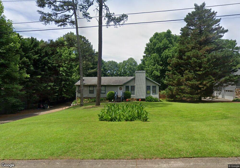
137 Dials Dr Unit II Woodstock, GA 30188
Estimated Value: $403,345 - $404,000
3
Beds
2
Baths
2,240
Sq Ft
$180/Sq Ft
Est. Value
About This Home
This home is located at 137 Dials Dr Unit II, Woodstock, GA 30188 and is currently estimated at $403,673, approximately $180 per square foot. 137 Dials Dr Unit II is a home located in Cherokee County with nearby schools including Little River Elementary, Mill Creek Middle School, and River Ridge High School.
Ownership History
Date
Name
Owned For
Owner Type
Purchase Details
Closed on
Jun 11, 2002
Sold by
Taylor Robert L
Bought by
Taylor Robert M
Current Estimated Value
Home Financials for this Owner
Home Financials are based on the most recent Mortgage that was taken out on this home.
Original Mortgage
$130,203
Interest Rate
6.52%
Purchase Details
Closed on
Jan 30, 2001
Sold by
Federici Joseph
Bought by
Taylor Robert M
Home Financials for this Owner
Home Financials are based on the most recent Mortgage that was taken out on this home.
Original Mortgage
$124,750
Interest Rate
6.91%
Create a Home Valuation Report for This Property
The Home Valuation Report is an in-depth analysis detailing your home's value as well as a comparison with similar homes in the area
Home Values in the Area
Average Home Value in this Area
Purchase History
| Date | Buyer | Sale Price | Title Company |
|---|---|---|---|
| Taylor Robert M | -- | -- | |
| Taylor Robert M | $130,000 | -- |
Source: Public Records
Mortgage History
| Date | Status | Borrower | Loan Amount |
|---|---|---|---|
| Previous Owner | Taylor Robert M | $130,203 | |
| Previous Owner | Taylor Robert M | $124,750 |
Source: Public Records
Tax History Compared to Growth
Tax History
| Year | Tax Paid | Tax Assessment Tax Assessment Total Assessment is a certain percentage of the fair market value that is determined by local assessors to be the total taxable value of land and additions on the property. | Land | Improvement |
|---|---|---|---|---|
| 2025 | $3,520 | $134,056 | $34,000 | $100,056 |
| 2024 | $3,325 | $127,936 | $32,000 | $95,936 |
| 2023 | $2,902 | $111,656 | $31,200 | $80,456 |
| 2022 | $2,744 | $104,416 | $24,000 | $80,416 |
| 2021 | $2,493 | $87,816 | $18,000 | $69,816 |
| 2020 | $2,450 | $86,216 | $15,200 | $71,016 |
| 2019 | $565 | $74,280 | $15,200 | $59,080 |
| 2018 | $547 | $66,760 | $15,200 | $51,560 |
| 2017 | $543 | $155,700 | $12,800 | $49,480 |
| 2016 | $542 | $147,700 | $12,800 | $46,280 |
| 2015 | $531 | $141,200 | $11,200 | $45,280 |
| 2014 | $462 | $123,900 | $11,200 | $38,360 |
Source: Public Records
Map
Nearby Homes
- 137 Dials Dr
- 139 Dials Dr
- 216 Overlook Dr
- 218 Overlook Dr
- 141 Dials Dr Unit II
- 148 Churchcliff Dr
- 150 Churchcliff Dr
- 144 Churchcliff Dr
- 136 Dials Dr
- 146 Churchcliff Dr
- 152 Churchcliff Dr
- 138 Dials Dr
- 142 Churchcliff Dr
- 212 Overlook Dr
- 143 Dials Dr
- 154 Churchcliff Dr
- 140 Dials Dr
- 203 Bourke Ct
- 140 Churchcliff Dr
- 133 Dials Dr