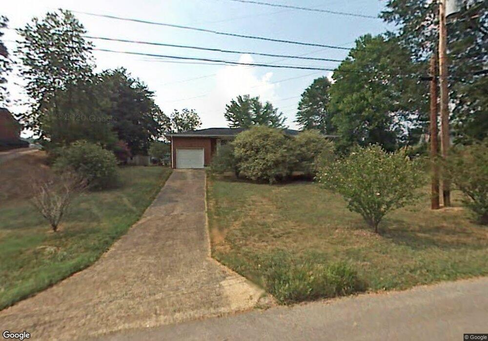
137 Diane Ln Fort Oglethorpe, GA 30742
Estimated Value: $213,048 - $263,000
Studio
2
Baths
1,292
Sq Ft
$181/Sq Ft
Est. Value
About This Home
This home is located at 137 Diane Ln, Fort Oglethorpe, GA 30742 and is currently estimated at $233,762, approximately $180 per square foot. 137 Diane Ln is a home located in Catoosa County with nearby schools including Battlefield Primary School, Battlefield Elementary School, and Lakeview Middle School.
Ownership History
Date
Name
Owned For
Owner Type
Purchase Details
Closed on
Jun 23, 2010
Sold by
Eddingfield Wayne
Bought by
Pritchett Tracy
Current Estimated Value
Home Financials for this Owner
Home Financials are based on the most recent Mortgage that was taken out on this home.
Original Mortgage
$93,737
Outstanding Balance
$63,479
Interest Rate
5.5%
Mortgage Type
FHA
Estimated Equity
$170,283
Purchase Details
Closed on
Mar 7, 2008
Sold by
Daniel Sandy
Bought by
Eddingfield Wayne
Purchase Details
Closed on
Sep 29, 1994
Bought by
Daniel Sandy And
Create a Home Valuation Report for This Property
The Home Valuation Report is an in-depth analysis detailing your home's value as well as a comparison with similar homes in the area
Home Values in the Area
Average Home Value in this Area
Purchase History
| Date | Buyer | Sale Price | Title Company |
|---|---|---|---|
| Pritchett Tracy | $95,000 | -- | |
| Eddingfield Wayne | $14,000 | -- | |
| Daniel Sandy And | -- | -- |
Source: Public Records
Mortgage History
| Date | Status | Borrower | Loan Amount |
|---|---|---|---|
| Open | Pritchett Tracy | $93,737 |
Source: Public Records
Tax History
| Year | Tax Paid | Tax Assessment Tax Assessment Total Assessment is a certain percentage of the fair market value that is determined by local assessors to be the total taxable value of land and additions on the property. | Land | Improvement |
|---|---|---|---|---|
| 2025 | $1,817 | $80,864 | $8,800 | $72,064 |
| 2024 | $2,175 | $82,687 | $13,759 | $68,928 |
| 2023 | $1,808 | $64,383 | $13,759 | $50,624 |
| 2022 | $1,451 | $51,647 | $13,759 | $37,888 |
| 2021 | $1,375 | $51,647 | $13,759 | $37,888 |
| 2020 | $1,354 | $45,853 | $13,759 | $32,094 |
| 2019 | $1,368 | $45,853 | $13,759 | $32,094 |
| 2018 | $1,205 | $38,464 | $12,230 | $26,234 |
| 2017 | $1,195 | $38,124 | $12,230 | $25,894 |
| 2016 | $1,178 | $35,994 | $12,230 | $23,764 |
| 2015 | -- | $35,994 | $12,230 | $23,764 |
| 2014 | -- | $35,994 | $12,230 | $23,764 |
| 2013 | -- | $35,994 | $12,230 | $23,763 |
Source: Public Records
Map
Nearby Homes