137 Doc B Trail Clayton, GA 30525
Estimated Value: $322,368 - $461,000
2
Beds
1
Bath
984
Sq Ft
$412/Sq Ft
Est. Value
About This Home
This home is located at 137 Doc B Trail, Clayton, GA 30525 and is currently estimated at $405,842, approximately $412 per square foot. 137 Doc B Trail is a home located in Rabun County with nearby schools including Rabun County Primary School and Rabun County High School.
Ownership History
Date
Name
Owned For
Owner Type
Purchase Details
Closed on
Jul 19, 2024
Sold by
Jones Roy E
Bought by
Jones Catherine A and Jones James Fred
Current Estimated Value
Purchase Details
Closed on
Aug 3, 2022
Sold by
Bray Cheryl A
Bought by
Jones Roy E
Purchase Details
Closed on
Feb 21, 2017
Sold by
Galloway Donna C
Bought by
Galloway Faron Dale and Galloway Donna C
Purchase Details
Closed on
Oct 1, 2007
Sold by
Not Provided
Bought by
Galloway Faron Dale
Create a Home Valuation Report for This Property
The Home Valuation Report is an in-depth analysis detailing your home's value as well as a comparison with similar homes in the area
Home Values in the Area
Average Home Value in this Area
Purchase History
| Date | Buyer | Sale Price | Title Company |
|---|---|---|---|
| Jones Catherine A | -- | -- | |
| Jones Roy E | -- | -- | |
| Jones Roy E | -- | -- | |
| Galloway Faron Dale | -- | -- | |
| Galloway Faron Dale | -- | -- | |
| Galloway Faron Dale | -- | -- | |
| Galloway Faron Dale | -- | -- | |
| Galloway Faron Dale | -- | -- | |
| Galloway Faron Dale | -- | -- |
Source: Public Records
Tax History Compared to Growth
Tax History
| Year | Tax Paid | Tax Assessment Tax Assessment Total Assessment is a certain percentage of the fair market value that is determined by local assessors to be the total taxable value of land and additions on the property. | Land | Improvement |
|---|---|---|---|---|
| 2024 | $2,050 | $127,725 | $14,219 | $113,506 |
| 2023 | $2,156 | $117,808 | $13,382 | $104,426 |
| 2022 | $2,057 | $112,395 | $11,710 | $100,685 |
| 2021 | $1,862 | $99,292 | $10,873 | $88,419 |
| 2020 | $1,787 | $92,113 | $10,873 | $81,240 |
| 2019 | $1,700 | $87,049 | $10,873 | $76,176 |
| 2018 | $1,707 | $87,049 | $10,873 | $76,176 |
Source: Public Records
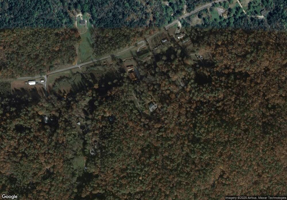
Map
Nearby Homes
- 420 Hidden Acres Ln
- 31 Creekside Ln
- 753 Watkins Field Rd
- 0 Timber Creek Dr Unit 10616920
- 0 Timber Bluff Dr Unit 10464905
- 62 Crooked Branch Dr
- 362 Kingwood Dr
- 0 Brown Hawk Unit 10495084
- 0 Brown Hawk Unit 7555224
- 10 Quiet Place Ln
- 0 Cedar Ridge Unit 10402269
- 0 Bannockburn Dr Unit 15
- 0 Bannockburn Dr
- 0 Kingwood Dr Unit 10607215
- 0 Kingwood Dr Unit LOT 104CC 10359599
- 00 Mattie McCall Ln
- 0 Heavenly Cir Unit 10615813
- 0 Heavenly Cir Unit 19 10509010
- 0 Heavenly Cir Unit 12 10504881
- 0 Celestial Cir Unit 10590466
- 0 Doc B Trail
- 46 Misty Morning Ln
- 64 Doc B Trail
- 41 Misty Morning Ln
- 137 Pool Creek
- 57 Misty Morning Ln
- 0 Misty Morning NE
- 0 Misty Morning Ln
- 160 Hampton Place Ln
- 250 Underwood Ln
- 105 Hampton Place Ln
- 0 Pool Creek Rd NE
- 28 Hampton Place Ln
- 349 Pool Creek Rd
- 26 Hampton Place Ln
- 453 Pool Creek Rd
- 772 Pool Creek Rd
- 386 Pool Creek Rd
- 69 Fielder
- 832 Pool Creek Rd