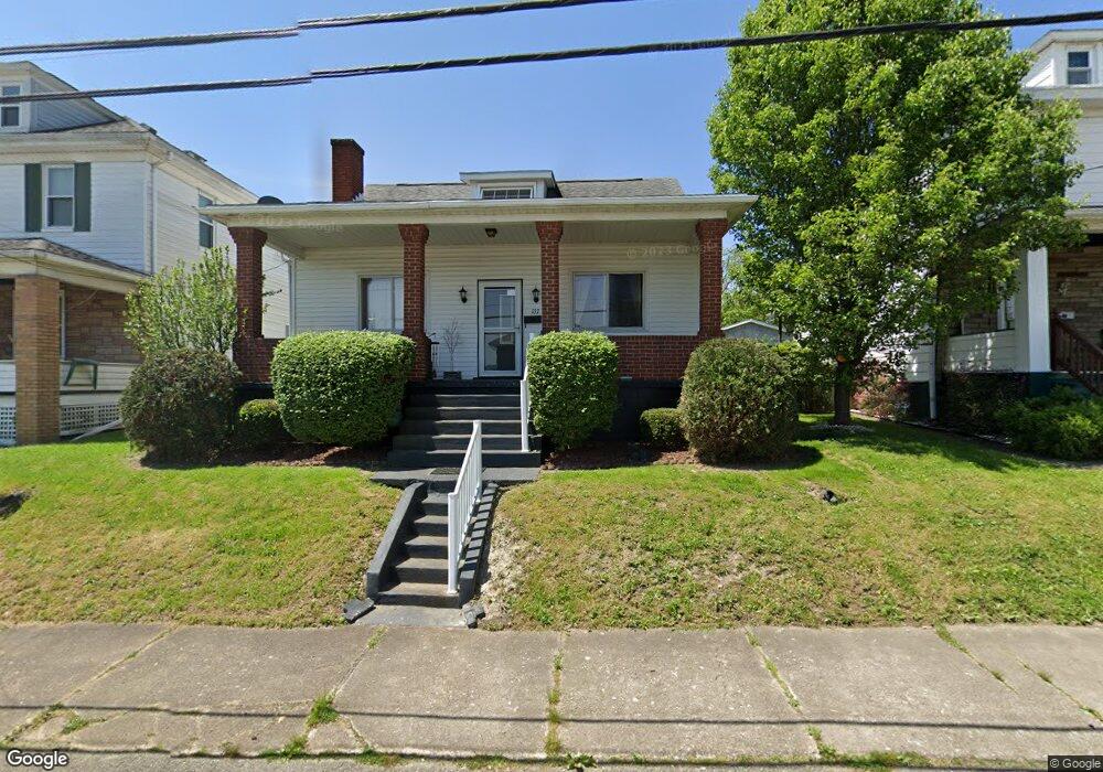
137 Easy St Uniontown, PA 15401
Estimated Value: $88,000 - $119,000
2
Beds
2
Baths
840
Sq Ft
$115/Sq Ft
Est. Value
About This Home
This home is located at 137 Easy St, Uniontown, PA 15401 and is currently estimated at $96,913, approximately $115 per square foot. 137 Easy St is a home located in Fayette County with nearby schools including Uniontown Area Senior High School, St. John the Evangelist School, and Chestnut Ridge Christian Academy.
Ownership History
Date
Name
Owned For
Owner Type
Purchase Details
Closed on
Nov 28, 2011
Sold by
Filburn Hazel C
Bought by
Sherbaugh Diane M
Current Estimated Value
Home Financials for this Owner
Home Financials are based on the most recent Mortgage that was taken out on this home.
Original Mortgage
$64,326
Outstanding Balance
$44,235
Interest Rate
4.12%
Mortgage Type
FHA
Estimated Equity
$52,678
Purchase Details
Closed on
Jan 31, 2007
Sold by
Spellman Gerald A and Spellman Lois J
Bought by
Filburn Hazel C
Home Financials for this Owner
Home Financials are based on the most recent Mortgage that was taken out on this home.
Original Mortgage
$61,700
Interest Rate
6.16%
Mortgage Type
New Conventional
Create a Home Valuation Report for This Property
The Home Valuation Report is an in-depth analysis detailing your home's value as well as a comparison with similar homes in the area
Home Values in the Area
Average Home Value in this Area
Purchase History
| Date | Buyer | Sale Price | Title Company |
|---|---|---|---|
| Sherbaugh Diane M | $66,000 | None Available | |
| Filburn Hazel C | $65,000 | None Available |
Source: Public Records
Mortgage History
| Date | Status | Borrower | Loan Amount |
|---|---|---|---|
| Open | Sherbaugh Diane M | $64,326 | |
| Previous Owner | Filburn Hazel C | $61,700 |
Source: Public Records
Tax History Compared to Growth
Tax History
| Year | Tax Paid | Tax Assessment Tax Assessment Total Assessment is a certain percentage of the fair market value that is determined by local assessors to be the total taxable value of land and additions on the property. | Land | Improvement |
|---|---|---|---|---|
| 2025 | $838 | $22,295 | $6,720 | $15,575 |
| 2024 | $812 | $22,295 | $6,720 | $15,575 |
| 2023 | $1,623 | $22,295 | $6,720 | $15,575 |
| 2022 | $1,589 | $22,295 | $6,720 | $15,575 |
| 2021 | $1,589 | $22,295 | $6,720 | $15,575 |
| 2020 | $1,564 | $22,295 | $6,720 | $15,575 |
| 2019 | $1,487 | $22,295 | $6,720 | $15,575 |
| 2018 | $1,435 | $22,295 | $6,720 | $15,575 |
| 2017 | $1,435 | $22,295 | $6,720 | $15,575 |
| 2016 | -- | $22,295 | $6,720 | $15,575 |
| 2015 | -- | $22,295 | $6,720 | $15,575 |
| 2014 | -- | $44,590 | $13,440 | $31,150 |
Source: Public Records
Map
Nearby Homes
- 92 Nutt Ave
- 75 Nutt Ave
- 122 Shaffer St
- 120 Shaffer St
- 40 Miller Ave
- 330 W Berkeley St
- 26 Wilmac St
- 83 S Mount Vernon Ave
- 26 Coal Lick Run
- 71 Lebanon Ave
- 21 Dawson Ave
- 15 Dawson Ave
- 33 Mccormick Ave
- 25 Kay St
- 39 Dunkard Ave
- 114 Clarendon Ave
- 124 Clarendon Ave
- 58 Mullen St
- 2 Mccormick Ave
- 73 Ben Lomond St