Estimated Value: $87,000 - $143,000
2
Beds
1
Bath
1,007
Sq Ft
$108/Sq Ft
Est. Value
About This Home
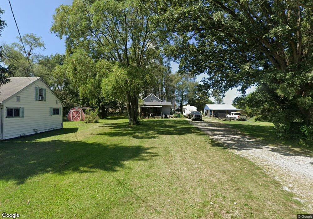
This home is located at 137 Elm St, Cairo, OH 45820 and is currently estimated at $108,696, approximately $107 per square foot. 137 Elm St is a home located in Allen County with nearby schools including Bath Elementary School, Bath Middle School, and Bath High School.
Ownership History
Date
Name
Owned For
Owner Type
Purchase Details
Closed on
Aug 2, 2024
Sold by
Carpenter Edward E and Carpenter Karen
Bought by
Wireman Michael and Wireman Tia
Current Estimated Value
Purchase Details
Closed on
May 22, 2007
Sold by
Fannie Mae
Bought by
Carpenter Edward E
Purchase Details
Closed on
Oct 11, 2006
Sold by
Newman Jona and Doe John
Bought by
Federal National Mortgage Association
Purchase Details
Closed on
Jul 31, 1992
Bought by
Brinkman Melitus
Create a Home Valuation Report for This Property
The Home Valuation Report is an in-depth analysis detailing your home's value as well as a comparison with similar homes in the area
Purchase History
| Date | Buyer | Sale Price | Title Company |
|---|---|---|---|
| Wireman Michael | -- | None Listed On Document | |
| Carpenter Edward E | $15,000 | None Available | |
| Federal National Mortgage Association | $47,497 | None Available | |
| Brinkman Melitus | -- | -- |
Source: Public Records
Tax History
| Year | Tax Paid | Tax Assessment Tax Assessment Total Assessment is a certain percentage of the fair market value that is determined by local assessors to be the total taxable value of land and additions on the property. | Land | Improvement |
|---|---|---|---|---|
| 2024 | $1,977 | $25,940 | $5,570 | $20,370 |
| 2023 | $1,765 | $18,420 | $3,960 | $14,460 |
| 2022 | $1,768 | $18,420 | $3,960 | $14,460 |
| 2021 | $1,799 | $18,420 | $3,960 | $14,460 |
| 2020 | $1,523 | $15,720 | $3,820 | $11,900 |
| 2019 | $1,523 | $15,720 | $3,820 | $11,900 |
| 2018 | $1,737 | $15,720 | $3,820 | $11,900 |
| 2017 | $1,644 | $14,110 | $3,820 | $10,290 |
| 2016 | $1,791 | $14,110 | $3,820 | $10,290 |
| 2015 | $1,447 | $12,260 | $3,820 | $8,440 |
| 2014 | $1,447 | $11,870 | $3,570 | $8,300 |
| 2013 | $1,032 | $11,870 | $3,570 | $8,300 |
Source: Public Records
Map
Nearby Homes
- 102 W Main St
- 201 Wall St
- 513 W Main St
- 634 W Main St
- 1085 Lutz Rd
- 4387 N West St
- 3263 Shiloh Dr
- 0 Fraunfelter Unit 307817
- 0 N Eastown Rd Unit 1034495
- 0 Thorndyke Dr
- 3137 Thorndyke Dr
- 2878 Autumn Lake Dr
- 0 N Dixie Hwy Unit 300253
- 475 Kenmore St
- 520 Kenmore St
- 5025 N Cool Rd
- 2718 Carolyn Dr
- 11059 Ottawa Rd
- 2230 N Dixie Hwy
- 2630 Carolyn Dr
Your Personal Tour Guide
Ask me questions while you tour the home.