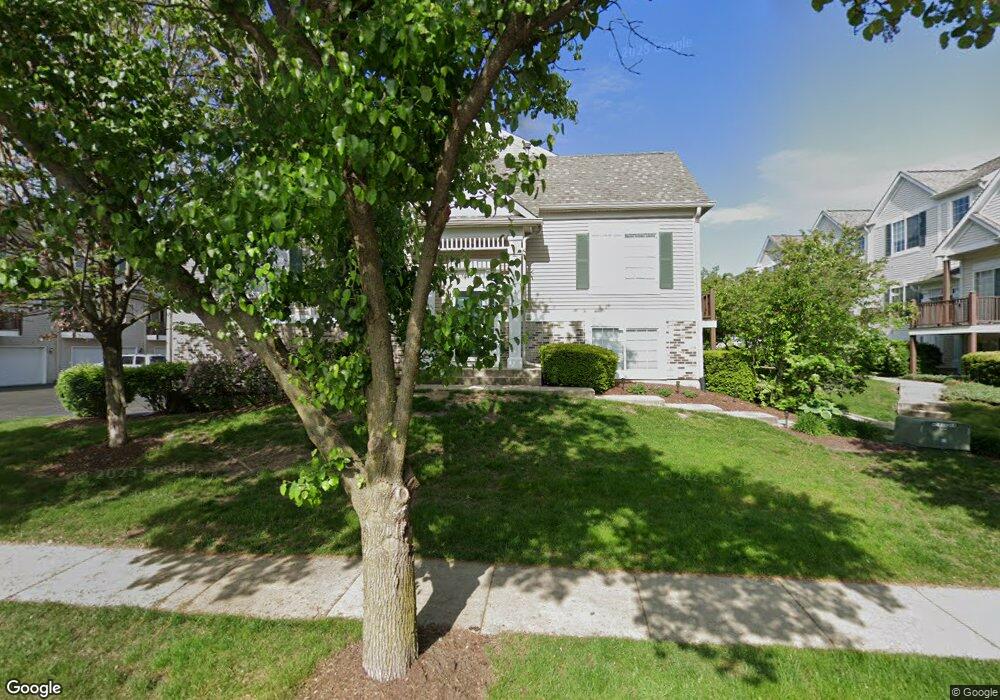
137 Enclave Cir Unit C Bolingbrook, IL 60440
East Bolingbrook NeighborhoodEstimated Value: $262,899 - $304,000
Studio
1
Bath
1,494
Sq Ft
$189/Sq Ft
Est. Value
About This Home
This home is located at 137 Enclave Cir Unit C, Bolingbrook, IL 60440 and is currently estimated at $281,725, approximately $188 per square foot. 137 Enclave Cir Unit C is a home located in Will County with nearby schools including John R Tibbott Elementary School, Brooks Middle School, and Hubert H Humphrey Middle School.
Ownership History
Date
Name
Owned For
Owner Type
Purchase Details
Closed on
Oct 14, 2020
Sold by
Ross William G and Ross Robin L
Bought by
Puig Francesc
Current Estimated Value
Purchase Details
Closed on
Apr 29, 2004
Sold by
The Enclave Llc
Bought by
Ross William G and Ross Robin L
Home Financials for this Owner
Home Financials are based on the most recent Mortgage that was taken out on this home.
Original Mortgage
$176,783
Interest Rate
6.39%
Mortgage Type
FHA
Create a Home Valuation Report for This Property
The Home Valuation Report is an in-depth analysis detailing your home's value as well as a comparison with similar homes in the area
Home Values in the Area
Average Home Value in this Area
Purchase History
| Date | Buyer | Sale Price | Title Company |
|---|---|---|---|
| Puig Francesc | $185,000 | Citywide Title Corp | |
| Ross William G | $185,000 | Ticor Title |
Source: Public Records
Mortgage History
| Date | Status | Borrower | Loan Amount |
|---|---|---|---|
| Previous Owner | Ross William G | $176,783 |
Source: Public Records
Tax History
| Year | Tax Paid | Tax Assessment Tax Assessment Total Assessment is a certain percentage of the fair market value that is determined by local assessors to be the total taxable value of land and additions on the property. | Land | Improvement |
|---|---|---|---|---|
| 2024 | $6,088 | $73,917 | $17,224 | $56,693 |
| 2023 | $6,088 | $66,508 | $15,498 | $51,010 |
| 2022 | $5,217 | $58,784 | $13,698 | $45,086 |
| 2021 | $4,930 | $54,964 | $12,808 | $42,156 |
| 2020 | $4,841 | $53,157 | $12,387 | $40,770 |
| 2019 | $4,502 | $49,634 | $11,566 | $38,068 |
| 2018 | $4,120 | $45,662 | $10,640 | $35,022 |
| 2017 | $3,907 | $43,281 | $10,085 | $33,196 |
| 2016 | $3,780 | $41,200 | $9,600 | $31,600 |
| 2015 | $4,512 | $38,300 | $8,900 | $29,400 |
| 2014 | $4,512 | $38,300 | $8,900 | $29,400 |
| 2013 | $4,512 | $47,900 | $11,100 | $36,800 |
Source: Public Records
Map
Nearby Homes
- 145 Enclave Cir Unit D
- 103 Enclave Cir Unit C
- 125 Monterey Dr
- 113 Lexington Dr
- 127 Monticello Cir
- 225 Malibu Dr
- 234 Malibu Dr
- 112 Brook Ct
- 153 Camelot Way
- 401 Salem Square
- 221 Davis Ln
- 405 Colony Ct
- 426 Greentree Ln Unit 6
- 140 Wedgewood Way
- 220 N Ashbury Ave
- 419 Lakeview Cir
- 369 Lakeview Cir
- 5 E Fernwood Dr
- 9E Fernwood Dr
- 5G Fernwood Dr
- 137 Enclave Cir
- 137 Enclave Cir Unit D
- 137 Enclave Cir Unit B
- 137 Enclave Cir Unit A
- 139 Enclave Cir Unit E
- 139 Enclave Cir Unit B
- 139 Enclave Cir Unit A
- 139 Enclave Cir Unit 1
- 139 Enclave Cir Unit C
- 139 Enclave Cir Unit D
- 135 Enclave Cir Unit C
- 135 Enclave Cir Unit D
- 135 Enclave Cir Unit A
- 135 Enclave Cir Unit B
- 135 Enclave Cir
- 110 Enclave Cir Unit 4
- 110 Enclave Cir Unit D
- 112 Enclave Cir
- 110 Enclave Cir Unit B
- 110 Enclave Cir Unit A
Your Personal Tour Guide
Ask me questions while you tour the home.