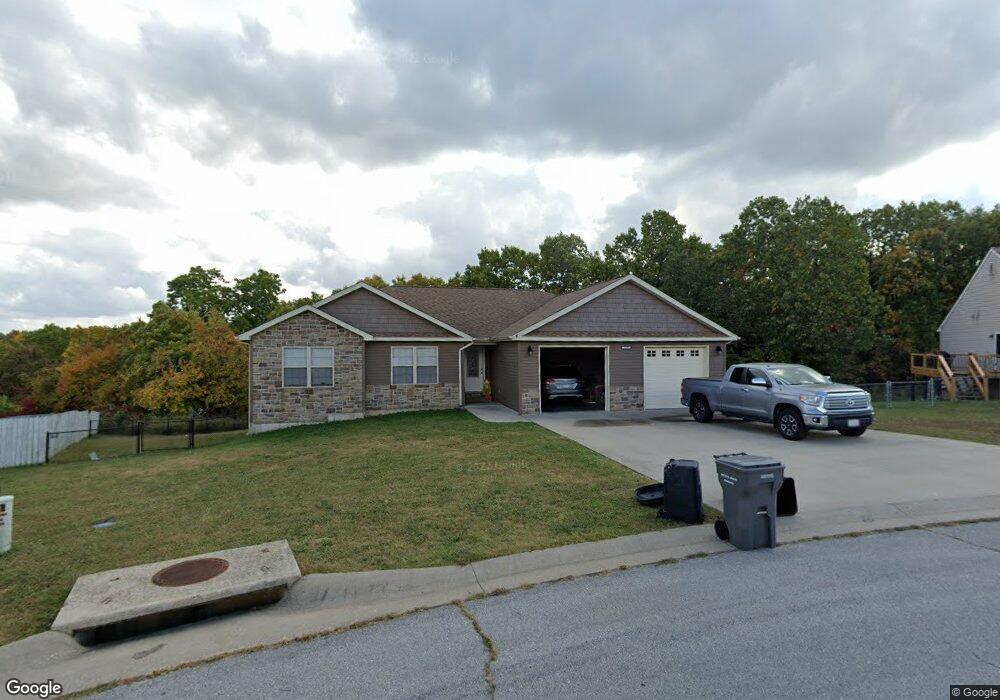
137 Kale Ct Saint Robert, MO 65584
Estimated Value: $289,000 - $342,000
3
Beds
2
Baths
3,004
Sq Ft
$105/Sq Ft
Est. Value
About This Home
This home is located at 137 Kale Ct, Saint Robert, MO 65584 and is currently estimated at $316,640, approximately $105 per square foot. 137 Kale Ct is a home located in Pulaski County with nearby schools including Freedom Elementary School, Waynesville East Elementary School, and Waynesville Sixth Grade Center.
Ownership History
Date
Name
Owned For
Owner Type
Purchase Details
Closed on
Aug 12, 2022
Bought by
Rudloff Derek and Timmons Savanna
Current Estimated Value
Purchase Details
Closed on
Sep 22, 2011
Sold by
Merrill Douglas K and Merrill D.
Bought by
Timber Ridge Builders Inc
Purchase Details
Closed on
Oct 29, 2008
Sold by
American Heritage Homes Llc
Bought by
Merrill Douglas K D
Home Financials for this Owner
Home Financials are based on the most recent Mortgage that was taken out on this home.
Original Mortgage
$18,747
Interest Rate
6.08%
Mortgage Type
New Conventional
Create a Home Valuation Report for This Property
The Home Valuation Report is an in-depth analysis detailing your home's value as well as a comparison with similar homes in the area
Home Values in the Area
Average Home Value in this Area
Purchase History
| Date | Buyer | Sale Price | Title Company |
|---|---|---|---|
| Rudloff Derek | -- | -- | |
| Timber Ridge Builders Inc | -- | -- | |
| Merrill Douglas K D | -- | None Available |
Source: Public Records
Mortgage History
| Date | Status | Borrower | Loan Amount |
|---|---|---|---|
| Previous Owner | Merrill Douglas K D | $18,747 |
Source: Public Records
Tax History
| Year | Tax Paid | Tax Assessment Tax Assessment Total Assessment is a certain percentage of the fair market value that is determined by local assessors to be the total taxable value of land and additions on the property. | Land | Improvement |
|---|---|---|---|---|
| 2025 | $1,619 | $45,758 | $6,840 | $38,918 |
| 2024 | $1,619 | $41,080 | $5,700 | $35,380 |
| 2023 | $1,578 | $41,080 | $5,700 | $35,380 |
| 2022 | $1,478 | $38,800 | $3,420 | $35,380 |
| 2021 | $129 | $3,420 | $3,420 | $0 |
| 2020 | $132 | $3,420 | $0 | $0 |
| 2019 | $132 | $3,420 | $0 | $0 |
| 2018 | $132 | $3,420 | $0 | $0 |
| 2017 | $132 | $3,420 | $0 | $0 |
| 2016 | $125 | $3,420 | $0 | $0 |
| 2015 | -- | $3,420 | $0 | $0 |
| 2014 | $123 | $3,420 | $0 | $0 |
Source: Public Records
Map
Nearby Homes
- 108 Dogwood Cir
- 134 Kale Ct
- 101-118 Grant St
- 0 Tbd Address Unit MAR23073110
- 15305 Texas Rd
- 220 April Dr
- 102 Oak Ct
- 15315 Talent Ln
- 15316 Talent Ln
- 220 Ridgeview Dr
- 0 Holly Dr
- 0 Bonaire Dr
- 40 acres Bosa Dr
- 24235 Thames Ln
- 24010 Tallboy Ln
- 103 Ridgeview Dr
- 16580 Titan Rd
- 0 Trace Dr Unit 22021177
- 0 Trace Dr Unit 22021174
- 15720 Hallmark Ln
Your Personal Tour Guide
Ask me questions while you tour the home.