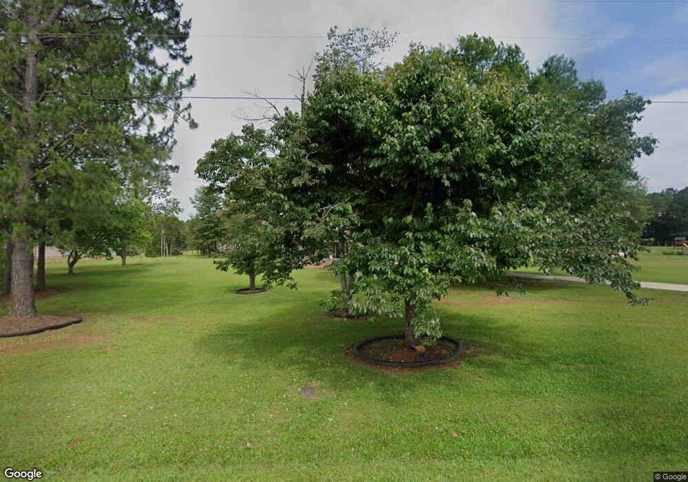
137 Kent Dr Macon, GA 31220
Estimated Value: $39,367 - $166,000
Studio
1
Bath
1,140
Sq Ft
$66/Sq Ft
Est. Value
About This Home
This home is located at 137 Kent Dr, Macon, GA 31220 and is currently estimated at $75,092, approximately $65 per square foot. 137 Kent Dr is a home located in Bibb County with nearby schools including T.G. Scott Elementary School, Mary Persons High School, and Monroe Academy.
Ownership History
Date
Name
Owned For
Owner Type
Purchase Details
Closed on
Nov 21, 2022
Sold by
Wynn Michael T
Bought by
Wynn Michael T and Wynn Stacy King
Current Estimated Value
Purchase Details
Closed on
Jul 12, 2017
Sold by
Jones Kellie A
Bought by
Lumley Michael A
Purchase Details
Closed on
Jan 27, 2017
Sold by
Lumley Michael A
Bought by
Jones Kellie A
Purchase Details
Closed on
Aug 19, 2010
Sold by
Jones Kellie A and Sellers Kellie A
Bought by
Jones Kellie A and Lumley Michael A
Purchase Details
Closed on
Nov 16, 2004
Bought by
Sellers Kellie A
Create a Home Valuation Report for This Property
The Home Valuation Report is an in-depth analysis detailing your home's value as well as a comparison with similar homes in the area
Purchase History
| Date | Buyer | Sale Price | Title Company |
|---|---|---|---|
| Wynn Michael T | -- | -- | |
| Wynn Michael T | $33,000 | -- | |
| Lumley Michael A | -- | None Available | |
| Jones Kellie A | -- | -- | |
| Jones Kellie A | -- | None Available | |
| Sellers Kellie A | -- | -- | |
| Sellers Kellie A | -- | None Avilabel |
Source: Public Records
Tax History
| Year | Tax Paid | Tax Assessment Tax Assessment Total Assessment is a certain percentage of the fair market value that is determined by local assessors to be the total taxable value of land and additions on the property. | Land | Improvement |
|---|---|---|---|---|
| 2025 | $477 | $19,421 | $4,000 | $15,421 |
| 2024 | $476 | $18,739 | $4,000 | $14,739 |
| 2023 | $335 | $18,058 | $4,000 | $14,058 |
| 2022 | $639 | $18,445 | $3,859 | $14,586 |
| 2021 | $701 | $18,445 | $3,859 | $14,586 |
| 2020 | $444 | $18,445 | $3,859 | $14,586 |
| 2019 | $448 | $18,445 | $3,859 | $14,586 |
| 2018 | $1,204 | $18,073 | $3,859 | $14,214 |
| 2017 | $415 | $18,073 | $3,859 | $14,214 |
| 2016 | $383 | $18,073 | $3,859 | $14,214 |
| 2015 | $543 | $18,073 | $3,859 | $14,214 |
| 2014 | $675 | $18,073 | $3,859 | $14,214 |
Source: Public Records
Map
Nearby Homes
- 37 Fawn Dr
- 1122 Irongate
- 3269 Old MacOn Rd
- 112 Irongate
- 158 Caroline Ct
- 140 Caroline Ct
- 202 Hilltop Cir
- 129 Burchwood Dr
- 66 Quail Trail
- 202 Cambridge Way
- 198 Jennings Ln
- 1157 Barrington Place Way Unit 22
- 1409 Barrington Place Way
- 311 N Rivoli Farms Dr
- Plan 3040 at Barrington Place
- Plan 2700 at Barrington Place
- Plan 2620 at Barrington Place
- Plan 2100 at Barrington Place
- Plan 2604 at Barrington Place
- Plan 2316 at Barrington Place
