137 Log Cabin Rd Hyndman, PA 15545
Southampton NeighborhoodEstimated Value: $131,000 - $261,000
3
Beds
2
Baths
1,248
Sq Ft
$172/Sq Ft
Est. Value
About This Home
This home is located at 137 Log Cabin Rd, Hyndman, PA 15545 and is currently estimated at $214,165, approximately $171 per square foot. 137 Log Cabin Rd is a home located in Somerset County with nearby schools including Meyersdale Area Elementary School, Meyersdale Area Middle School, and Meyersdale Area High School.
Ownership History
Date
Name
Owned For
Owner Type
Purchase Details
Closed on
Aug 27, 2025
Sold by
Shroyer Troy E and Shroyer Patty A
Bought by
Shroyer Royce
Current Estimated Value
Home Financials for this Owner
Home Financials are based on the most recent Mortgage that was taken out on this home.
Original Mortgage
$171,200
Outstanding Balance
$171,200
Interest Rate
6.75%
Mortgage Type
New Conventional
Estimated Equity
$42,965
Purchase Details
Closed on
Sep 26, 2013
Sold by
Shroyer Troy E and Shroyer Patty A
Bought by
Shroyer Troy E and Shroyer Patty A
Create a Home Valuation Report for This Property
The Home Valuation Report is an in-depth analysis detailing your home's value as well as a comparison with similar homes in the area
Home Values in the Area
Average Home Value in this Area
Purchase History
| Date | Buyer | Sale Price | Title Company |
|---|---|---|---|
| Shroyer Royce | $214,000 | None Listed On Document | |
| Shroyer Royce | $214,000 | None Listed On Document | |
| Shroyer Troy E | -- | None Available | |
| Shroyer Troy E | -- | None Available |
Source: Public Records
Mortgage History
| Date | Status | Borrower | Loan Amount |
|---|---|---|---|
| Open | Shroyer Royce | $171,200 | |
| Closed | Shroyer Royce | $171,200 |
Source: Public Records
Tax History Compared to Growth
Tax History
| Year | Tax Paid | Tax Assessment Tax Assessment Total Assessment is a certain percentage of the fair market value that is determined by local assessors to be the total taxable value of land and additions on the property. | Land | Improvement |
|---|---|---|---|---|
| 2025 | $1,848 | $42,960 | $0 | $0 |
| 2024 | $1,769 | $42,960 | $0 | $0 |
| 2023 | $1,634 | $42,960 | $0 | $0 |
| 2022 | $1,634 | $42,960 | $0 | $0 |
| 2021 | $1,634 | $42,960 | $0 | $0 |
| 2020 | $1,634 | $42,960 | $0 | $0 |
| 2019 | $1,634 | $42,960 | $0 | $0 |
| 2018 | $1,600 | $42,960 | $4,470 | $38,490 |
| 2017 | $1,600 | $42,960 | $4,470 | $38,490 |
| 2016 | -- | $42,960 | $4,470 | $38,490 |
| 2015 | -- | $37,950 | $4,465 | $33,485 |
| 2014 | -- | $37,950 | $4,465 | $33,485 |
Source: Public Records
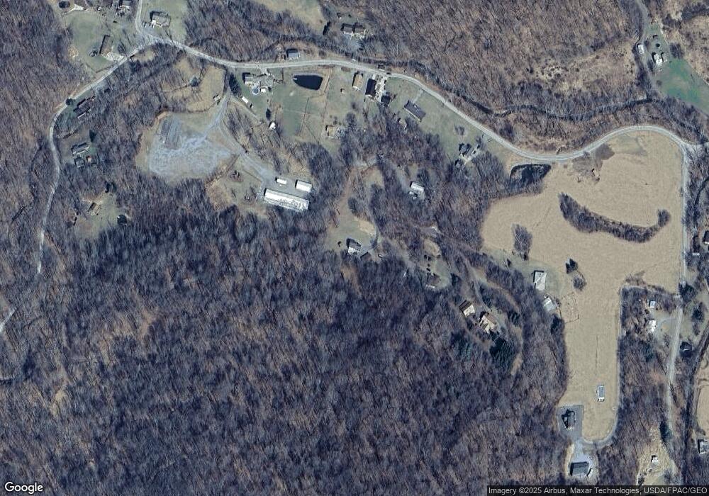
Map
Nearby Homes
- 144 Hoffman Ln
- 2140 Hyndman Rd
- 2210 Hyndman Rd
- 152 Brook Ln
- 155 Hyndman Rd
- 14514 Ellerslie Rd
- 10128 Hummingbird St
- 10117 Hummingbird St
- 10124 Hummingbird St
- 14403 Ellerslie Rd
- 10101 High Pine Ct
- 10007 Devore St
- 13925 Ellerslie Rd
- 13902 Rolling Oak Dr
- 13900 Schellsburg Rd
- 11005 Kreighbaum Rd
- 12828 Old Hollow Rd
- 13204 Barrelville Rd NW
- 0 Cherry Run Rd
- 12603 Ellerslie Rd NW
- 163 Log Cabin Rd
- 171 Kennells Mill Rd
- 203 Kennells Mill Rd
- 225 Kennells Mill Rd
- 165 Log Cabin Rd
- 259 Kennells Mill Rd
- 226 Kennells Mill Rd
- 1764 Palo Alto Rd
- 872 Hill Rd
- 1754 Palo Alto Rd
- 294 Kennells Mill Rd
- 903 Hill Rd
- 1747 Palo Alto Rd
- 929 Hill Rd
- 1785 Palo Alto Rd
- 311 Kennells Mill Rd
- 1714 Palo Alto Rd
- 326 Kennells Mill Rd
- 1739 Palo Alto Rd
- 1688 Palo Alto Rd