137 Logs Trail Seneca, SC 29678
Estimated Value: $229,000 - $283,000
3
Beds
3
Baths
1,512
Sq Ft
$177/Sq Ft
Est. Value
About This Home
This home is located at 137 Logs Trail, Seneca, SC 29678 and is currently estimated at $267,321, approximately $176 per square foot. 137 Logs Trail is a home located in Oconee County with nearby schools including Blue Ridge Elementary School, Seneca Middle School, and Seneca High School.
Ownership History
Date
Name
Owned For
Owner Type
Purchase Details
Closed on
Sep 11, 2018
Sold by
Wilson Thomas Alan and Wilson Judith Ann
Bought by
Evans Alex Jay
Current Estimated Value
Home Financials for this Owner
Home Financials are based on the most recent Mortgage that was taken out on this home.
Original Mortgage
$132,554
Outstanding Balance
$115,805
Interest Rate
4.87%
Mortgage Type
FHA
Estimated Equity
$151,516
Purchase Details
Closed on
May 4, 2017
Sold by
Wilson Judith A
Bought by
Wilson Thomas Alan and Wilson Judith A
Create a Home Valuation Report for This Property
The Home Valuation Report is an in-depth analysis detailing your home's value as well as a comparison with similar homes in the area
Home Values in the Area
Average Home Value in this Area
Purchase History
| Date | Buyer | Sale Price | Title Company |
|---|---|---|---|
| Evans Alex Jay | $135,000 | None Available | |
| Wilson Thomas Alan | -- | None Available |
Source: Public Records
Mortgage History
| Date | Status | Borrower | Loan Amount |
|---|---|---|---|
| Open | Evans Alex Jay | $132,554 |
Source: Public Records
Tax History
| Year | Tax Paid | Tax Assessment Tax Assessment Total Assessment is a certain percentage of the fair market value that is determined by local assessors to be the total taxable value of land and additions on the property. | Land | Improvement |
|---|---|---|---|---|
| 2025 | $608 | $5,513 | $1,360 | $4,153 |
| 2024 | $608 | $5,513 | $1,360 | $4,153 |
| 2023 | $616 | $5,513 | $1,360 | $4,153 |
| 2022 | $617 | $5,513 | $1,360 | $4,153 |
| 2021 | $445 | $5,450 | $1,500 | $3,950 |
| 2020 | $639 | $5,450 | $1,500 | $3,950 |
| 2019 | $639 | $0 | $0 | $0 |
| 2018 | $1,283 | $0 | $0 | $0 |
| 2017 | $445 | $0 | $0 | $0 |
| 2016 | $445 | $0 | $0 | $0 |
| 2015 | -- | $0 | $0 | $0 |
| 2014 | -- | $5,917 | $1,712 | $4,205 |
| 2013 | -- | $0 | $0 | $0 |
Source: Public Records
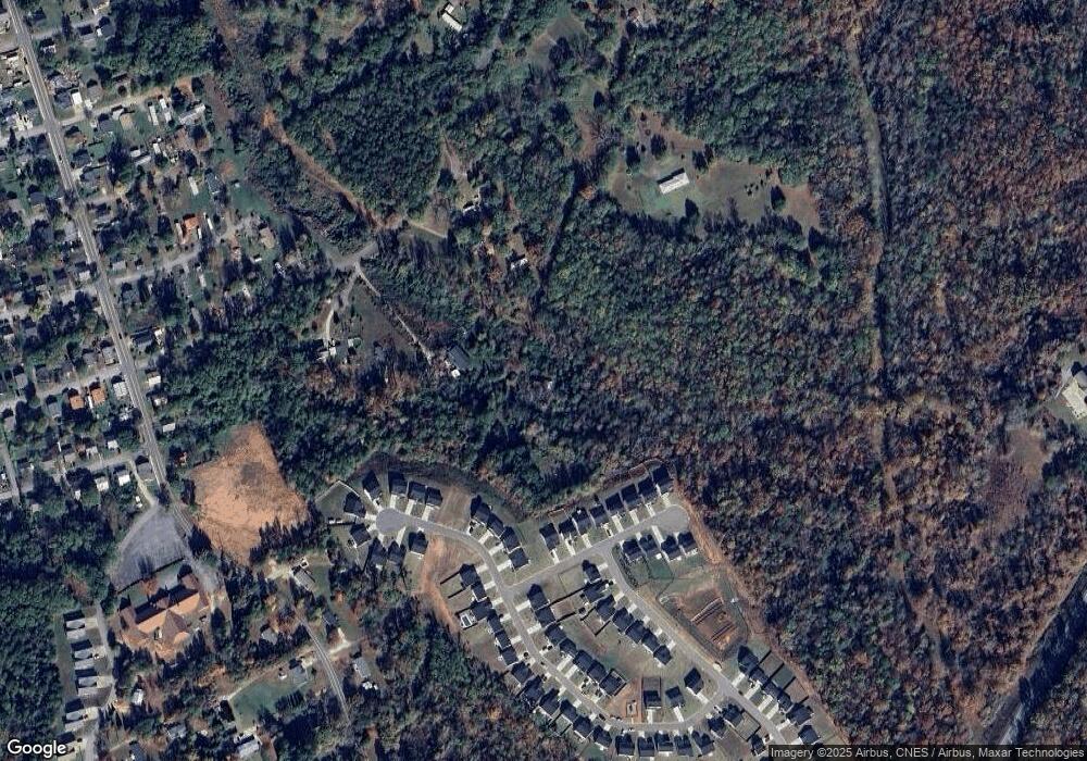
Map
Nearby Homes
- Lot 42 A E Lonsdale St
- 273 Utica Bend Ct
- 101 Meadowood Dr
- 29 Humbert St
- 2905 E James St
- 117 Wells Station Rd
- 9 Humbert St
- 1 Padgett St
- 8 Powell St
- 2505 E Brown St
- 1208 E Main St
- 610 Doctor Mitchell Rd
- 2011 Ridgeview Ln
- 303 Hunter St
- 2000 Ridgeview Ln
- 715 Bellview Way
- 726 Bellview Way
- 00 Old Hamilton Rd
- 208 Terrace View Way
- 101 Pleasant Dr
- 137 Logs Trail
- 3926 E Lonsdale St
- 120 Logs Trail
- 294 Utica Bend Ct
- 290 Utica Bend Ct
- 286 Utica Bend Ct
- 293 Utica Bend Ct
- 317 Kings Grant Ct
- 329 Kings Grant Ct
- 325 Kings Grant Ct
- 333 Kings Grant Ct
- 189 Wells Station Rd
- 262 Utica Bend Ct
- 1491 Goddard Ave
- 100 Meadowood Dr
- 125 Charles Dr
- 258 Utica Bend Ct
- 332 Kings Grant Ct
- 1207 Goddard Ave
- 1205 Goddard Ave
Your Personal Tour Guide
Ask me questions while you tour the home.