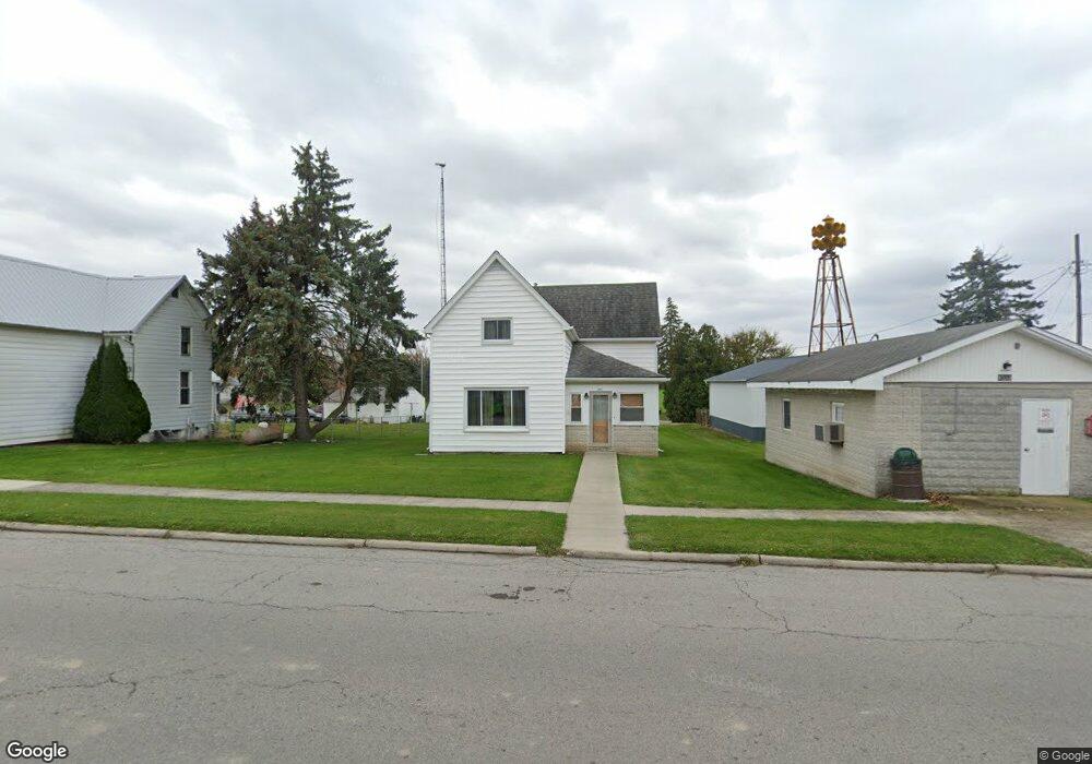
137 Main St Benton Ridge, OH 45816
Estimated Value: $139,045 - $200,000
4
Beds
1
Bath
1,456
Sq Ft
$114/Sq Ft
Est. Value
About This Home
This home is located at 137 Main St, Benton Ridge, OH 45816 and is currently estimated at $165,761, approximately $113 per square foot. 137 Main St is a home with nearby schools including Liberty-Benton Elementary School, Liberty-Benton Middle School, and Liberty-Benton High School.
Ownership History
Date
Name
Owned For
Owner Type
Purchase Details
Closed on
Sep 6, 2018
Bought by
Dunlap Ray W
Current Estimated Value
Purchase Details
Closed on
Nov 23, 1993
Bought by
Bracy Lulabelle A Le
Purchase Details
Closed on
Apr 3, 1987
Bought by
Bracy Lulabelle A Le
Purchase Details
Closed on
Jan 27, 1987
Bought by
Bracy Mertie M and Bracy Mertie M
Create a Home Valuation Report for This Property
The Home Valuation Report is an in-depth analysis detailing your home's value as well as a comparison with similar homes in the area
Purchase History
| Date | Buyer | Sale Price | Title Company |
|---|---|---|---|
| Dunlap Ray W | -- | -- | |
| Bracy Lulabelle A Le | -- | -- | |
| Bracy Lulabelle A Le | -- | -- | |
| Bracy Mertie M | -- | -- |
Source: Public Records
Tax History
| Year | Tax Paid | Tax Assessment Tax Assessment Total Assessment is a certain percentage of the fair market value that is determined by local assessors to be the total taxable value of land and additions on the property. | Land | Improvement |
|---|---|---|---|---|
| 2024 | $853 | $33,220 | $3,220 | $30,000 |
| 2023 | $855 | $33,220 | $3,220 | $30,000 |
| 2022 | $961 | $33,220 | $3,220 | $30,000 |
| 2021 | $985 | $30,550 | $3,220 | $27,330 |
| 2020 | $876 | $30,550 | $3,220 | $27,330 |
| 2019 | $950 | $30,550 | $3,220 | $27,330 |
| 2018 | $723 | $26,710 | $2,800 | $23,910 |
| 2017 | $371 | $26,710 | $2,800 | $23,910 |
| 2016 | $712 | $26,710 | $2,800 | $23,910 |
| 2015 | $366 | $18,740 | $2,800 | $15,940 |
| 2014 | $425 | $18,740 | $2,800 | $15,940 |
| 2012 | $444 | $18,740 | $2,800 | $15,940 |
Source: Public Records
Map
Nearby Homes
- 12159 County Road 12
- 163 Bolt St
- 11741 Township Road 10
- 3016 County Road 37
- 7780 Township Road 89
- 307 Lincoln St
- 9298 W State Route 12
- 9307 W State Route 12
- 9307 Hiegel Dr
- 1898 Baker Way Unit 18
- 2201 W Main Cross St
- 2014 W Sandusky St
- 0 Bushwillow Dr Unit Lot 154
- 0 Bushwillow Dr Lot 156 Unit 6079046
- 0 Rock Candy Rd Lot 162 Unit 6079070
- 0 Bushwillow Dr Unit Lot 156
- 0 Bearcat Way Or 0 Rock Candy Rd Lot 167 Unit 6079083
- 0 Bushwillow Dr Lot 154 Unit 6079043
- 0 Rock Candy Rd Lot 171 Unit 6079088
- 0 County Road 99 Lot 2 Unit 6081480
Your Personal Tour Guide
Ask me questions while you tour the home.