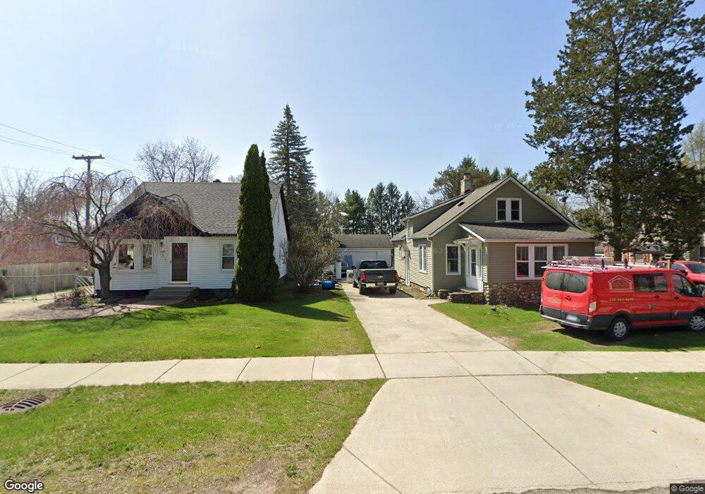
137 Mcpherson Highland, MI 48357
Estimated Value: $217,000 - $326,000
3
Beds
1
Bath
1,065
Sq Ft
$248/Sq Ft
Est. Value
About This Home
This home is located at 137 Mcpherson, Highland, MI 48357 and is currently estimated at $263,894, approximately $247 per square foot. 137 Mcpherson is a home located in Oakland County with nearby schools including Highland Elementary School, Muir Middle School, and Christ Lutheran Christian Day School.
Ownership History
Date
Name
Owned For
Owner Type
Purchase Details
Closed on
Feb 25, 2011
Sold by
Bajoka Highland Properties L L C and Bajoka Amir E
Bought by
Nunnery Craig S
Current Estimated Value
Purchase Details
Closed on
Jan 7, 2003
Sold by
Bajoka Amir and Bajoka Krista M
Bought by
Bajoka Highland Properties Llc
Purchase Details
Closed on
Mar 30, 2001
Sold by
Hamilton R
Bought by
Bajoka Amir
Home Financials for this Owner
Home Financials are based on the most recent Mortgage that was taken out on this home.
Original Mortgage
$82,500
Interest Rate
7.05%
Create a Home Valuation Report for This Property
The Home Valuation Report is an in-depth analysis detailing your home's value as well as a comparison with similar homes in the area
Home Values in the Area
Average Home Value in this Area
Purchase History
| Date | Buyer | Sale Price | Title Company |
|---|---|---|---|
| Nunnery Craig S | $87,500 | None Available | |
| Bajoka Highland Properties Llc | -- | Michigan Title Ins Agency In | |
| Bajoka Amir | $107,500 | -- |
Source: Public Records
Mortgage History
| Date | Status | Borrower | Loan Amount |
|---|---|---|---|
| Previous Owner | Bajoka Amir | $82,500 |
Source: Public Records
Tax History Compared to Growth
Tax History
| Year | Tax Paid | Tax Assessment Tax Assessment Total Assessment is a certain percentage of the fair market value that is determined by local assessors to be the total taxable value of land and additions on the property. | Land | Improvement |
|---|---|---|---|---|
| 2024 | $1,051 | $88,190 | $0 | $0 |
| 2023 | $1,003 | $80,990 | $0 | $0 |
| 2022 | $1,526 | $72,100 | $0 | $0 |
| 2021 | $2,165 | $68,610 | $0 | $0 |
| 2020 | $1,625 | $61,560 | $0 | $0 |
| 2019 | $2,109 | $58,840 | $0 | $0 |
| 2018 | $2,069 | $56,560 | $0 | $0 |
| 2017 | $2,008 | $56,560 | $0 | $0 |
| 2016 | $1,991 | $52,820 | $0 | $0 |
| 2015 | -- | $53,090 | $0 | $0 |
| 2014 | -- | $52,140 | $0 | $0 |
| 2011 | -- | $39,410 | $0 | $0 |
Source: Public Records
Map
Nearby Homes
- 265 E Livingston Rd
- 398 Delmar Ct
- 446 Delmar Ct
- 489 Gleneagles
- 1156 Alissa Marie Dr Unit 6
- 688 Perthshire Ct
- 53 Ash Ave Unit 53
- 246 Spruce Unit 246
- 248 Spruce Unit 248
- 173 Birch Unit 173
- 83 Elm
- 33 Pine Unit 33
- 1420 Pettibone Lake Rd
- 1350 Pettibone Lake Rd
- 1449 Gleneagles Unit 257
- 431 Timber Ridge Dr Unit 10
- 1570 Lone Tree Rd
- 1569 Gleneagles
- 1023 N Park St
- 1949 Percy
- 131 Mcpherson
- 145 Mcpherson
- 236 S Milford Rd
- 224 S Milford Rd
- 169 Mcpherson
- 134 Mcpherson
- 144 S Milford Rd
- 131 N John St
- 205 Mcpherson
- 318 S Milford Rd
- 146 N John St
- 203 S Milford Rd
- 143 W Livingston Rd
- 146 S John St
- 147 S Milford Rd
- 165 W Livingston Rd
- 321 S Milford Rd
- 223 Mcpherson
- 131 S Milford Rd
- 325 King