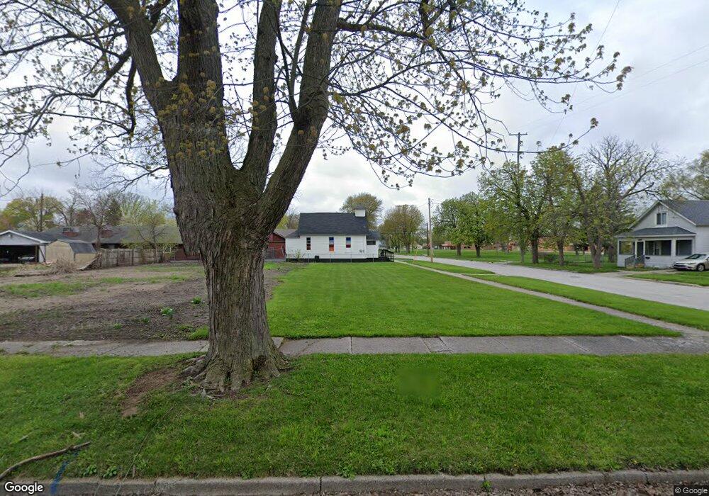
137 N 12th St Saginaw, MI 48601
Houghton Jones NeighborhoodEstimated Value: $27,320 - $42,000
--
Bed
1
Bath
1,680
Sq Ft
$21/Sq Ft
Est. Value
About This Home
This home is located at 137 N 12th St, Saginaw, MI 48601 and is currently estimated at $35,330, approximately $21 per square foot. 137 N 12th St is a home located in Saginaw County with nearby schools including Thompson Middle School, Saginaw United High School, and Saginaw Learn To Earn Academy.
Ownership History
Date
Name
Owned For
Owner Type
Purchase Details
Closed on
May 16, 2013
Sold by
Saginaw County Land Bank Authority
Bought by
Mount Moriah Missionary Baptist Church
Current Estimated Value
Purchase Details
Closed on
Mar 24, 2010
Sold by
Mcmullen Scinicor
Bought by
Robinson Tara
Purchase Details
Closed on
Sep 29, 2006
Sold by
Contrarian Apartments Ii Llc
Bought by
Mcmullen Scinicor
Purchase Details
Closed on
Nov 15, 2005
Sold by
Bigger Wallace E
Bought by
Contrarian Apartments Ii Llc
Purchase Details
Closed on
Jan 27, 1999
Sold by
Townsend Carrie Cooks
Bought by
Bigger Wallace E
Create a Home Valuation Report for This Property
The Home Valuation Report is an in-depth analysis detailing your home's value as well as a comparison with similar homes in the area
Home Values in the Area
Average Home Value in this Area
Purchase History
| Date | Buyer | Sale Price | Title Company |
|---|---|---|---|
| Mount Moriah Missionary Baptist Church | $300 | -- | |
| Robinson Tara | $2,000 | -- | |
| Mcmullen Scinicor | $500 | -- | |
| Contrarian Apartments Ii Llc | $5,000 | -- | |
| Bigger Wallace E | $12,000 | -- | |
| Bigger Wallace E | $12,000 | -- |
Source: Public Records
Tax History Compared to Growth
Tax History
| Year | Tax Paid | Tax Assessment Tax Assessment Total Assessment is a certain percentage of the fair market value that is determined by local assessors to be the total taxable value of land and additions on the property. | Land | Improvement |
|---|---|---|---|---|
| 2025 | $12 | $300 | $0 | $0 |
| 2024 | $10 | $200 | $0 | $0 |
| 2023 | $10 | $200 | $0 | $0 |
| 2022 | $11 | $200 | $0 | $0 |
| 2021 | $11 | $200 | $0 | $0 |
| 2020 | $10 | $200 | $0 | $0 |
| 2019 | $10 | $200 | $0 | $0 |
| 2018 | $8 | $229 | $0 | $0 |
| 2017 | $9 | $250 | $0 | $0 |
| 2016 | $9 | $275 | $0 | $0 |
| 2014 | -- | $137 | $0 | $0 |
| 2013 | -- | $137 | $0 | $0 |
Source: Public Records
Map
Nearby Homes
- 213 S 12th St
- 514 N 8th St
- 346 S 7th St
- 441 S 11th St
- 1346 Carlisle St
- 524 S 14th St
- 924 Federal Ave
- 631 Cathay St
- 3361 Burt St
- 1919 Perkins St
- 1103,1107,1111,1115 S Park Ave
- 550 S Weadock Ave
- 915 Burt St
- 3 Harmony Ct
- 1610 E Genesee Ave
- 2420 Bancroft St
- 515 Thompson St
- 436 S 27th St
- 824 N 26th St
- 440 S 28th St