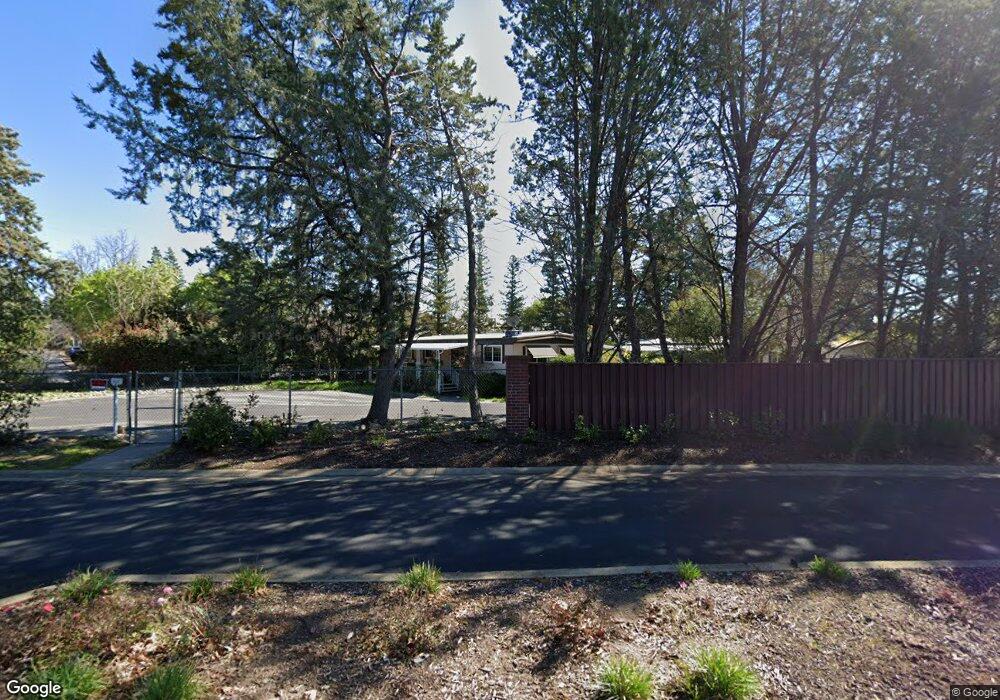
137 Pierpoint Cir Folsom, CA 95630
Estimated Value: $337,000 - $456,000
3
Beds
3
Baths
1,207
Sq Ft
$338/Sq Ft
Est. Value
About This Home
This home is located at 137 Pierpoint Cir, Folsom, CA 95630 and is currently estimated at $408,315, approximately $338 per square foot. 137 Pierpoint Cir is a home located in Sacramento County with nearby schools including Carl H. Sundahl Elementary School, Sutter Middle School, and Folsom High School.
Ownership History
Date
Name
Owned For
Owner Type
Purchase Details
Closed on
Apr 30, 2004
Sold by
Hardy Roger C and Hardy Trust
Bought by
Holly Barbara P
Current Estimated Value
Home Financials for this Owner
Home Financials are based on the most recent Mortgage that was taken out on this home.
Original Mortgage
$60,000
Interest Rate
5.38%
Mortgage Type
Purchase Money Mortgage
Create a Home Valuation Report for This Property
The Home Valuation Report is an in-depth analysis detailing your home's value as well as a comparison with similar homes in the area
Purchase History
We collect this data history from publicly available records. To have your information removed, we recommend requesting removal directly through your county’s website.
| Date | Buyer | Sale Price | Title Company |
|---|---|---|---|
| Holly Barbara P | $245,000 | Chicago Title Co | |
| Holly Barbara P | -- | Chicago Title Co |
Source: Public Records
Mortgage History
We collect this data history from publicly available records. To have your information removed, we recommend requesting removal directly through your county’s website.
| Date | Status | Borrower | Loan Amount |
|---|---|---|---|
| Closed | Holly Barbara P | $60,000 |
Source: Public Records
Tax History
| Year | Tax Paid | Tax Assessment Tax Assessment Total Assessment is a certain percentage of the fair market value that is determined by local assessors to be the total taxable value of land and additions on the property. | Land | Improvement |
|---|---|---|---|---|
| 2025 | $3,799 | $348,319 | $99,514 | $248,805 |
| 2024 | $3,721 | $341,490 | $97,563 | $243,927 |
| 2023 | $3,655 | $334,795 | $95,650 | $239,145 |
| 2022 | $3,602 | $328,231 | $93,775 | $234,456 |
| 2021 | $3,554 | $321,796 | $91,937 | $229,859 |
| 2020 | $3,510 | $318,498 | $90,995 | $227,503 |
| 2019 | $3,452 | $312,254 | $89,211 | $223,043 |
| 2018 | $3,366 | $306,132 | $87,462 | $218,670 |
| 2017 | $3,139 | $300,131 | $85,748 | $214,383 |
| 2016 | $3,131 | $280,854 | $80,242 | $200,612 |
| 2015 | $2,871 | $262,481 | $74,993 | $187,488 |
| 2014 | $2,725 | $257,335 | $73,523 | $183,812 |
Source: Public Records
Map
Nearby Homes
- 320 Bluebird Ln
- 257 Bluebird Ln
- 221 Bluebird Ln
- 322 Bluebird Ln
- 96 Monterey Ln
- 75 Redwood Ln
- 44 Cedar Cir
- 48 Cedar Cir
- 235 Raymond Ln Unit 112
- 157 Danielle Way Unit 113
- 132 Danielle Way
- 591 Southwood Dr
- 9842 Valley Pines Dr
- 7249 Pine View Dr
- 9872 Oakplace E
- 9798 Blue Lake Dr
- 291 Meadowrock Way
- 166 American River Canyon Dr
- 100 Baldwin Lake Cir
- 325 Overbrook Dr
- 249 Lark Ln
- 250 Lark Ln
- 248 Lark Ln Unit 248
- 247 Lark Ln
- 251 Bluebird Ln
- 268 Lark Ln
- 134 Pierpoint Cir
- 246 Lark Ln
- 267 Lark Ln
- 269 Bluebird Ln
- 140 Pierpoint Cir
- 128 Pierpoint Cir
- 252 Bluebird Ln
- 141 Pierpoint Cir
- 129 Pierpoint Cir
- 136 Pierpoint Cir
- 142 Pierpoint Cir
- 258 Bluebird Ln
- 130 Pierpoint Cir
- 143 Pierpoint Cir
Your Personal Tour Guide
Ask me questions while you tour the home.