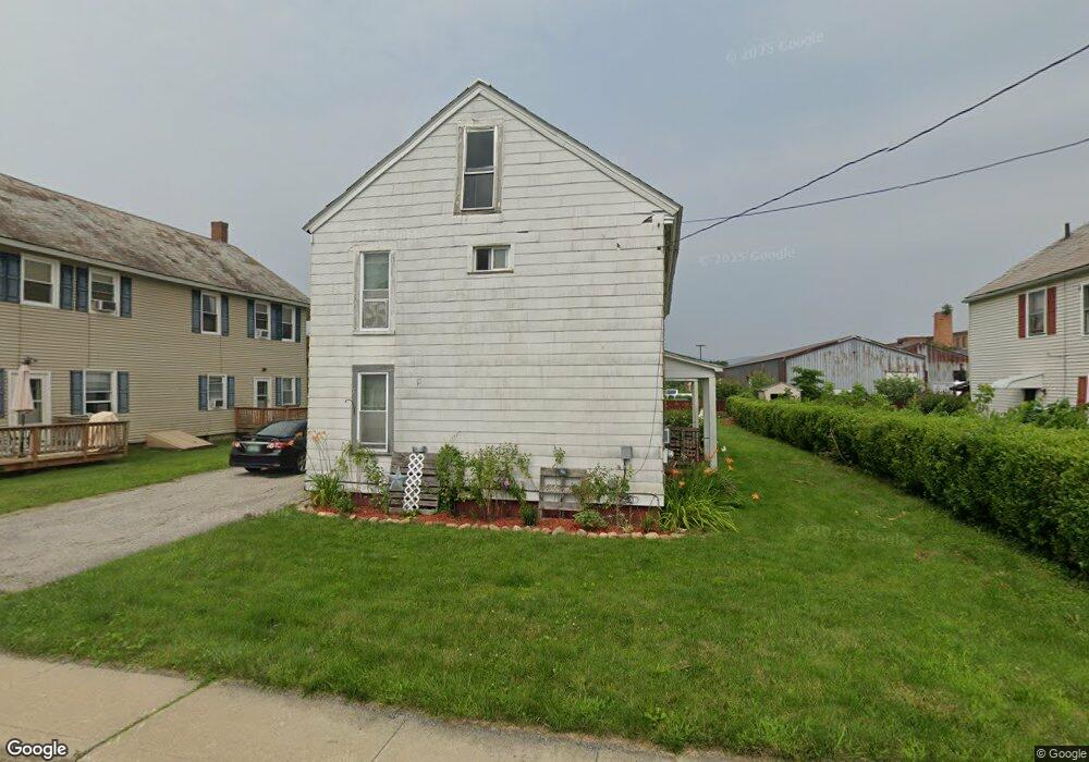
137 Protection Ave Unit 141 North Adams, MA 01247
Estimated Value: $174,393 - $290,000
6
Beds
2
Baths
2,116
Sq Ft
$112/Sq Ft
Est. Value
About This Home
This home is located at 137 Protection Ave Unit 141, North Adams, MA 01247 and is currently estimated at $237,348, approximately $112 per square foot. 137 Protection Ave Unit 141 is a home located in Berkshire County with nearby schools including Greylock Elementary School and Drury High School.
Create a Home Valuation Report for This Property
The Home Valuation Report is an in-depth analysis detailing your home's value as well as a comparison with similar homes in the area
Home Values in the Area
Average Home Value in this Area
Tax History Compared to Growth
Tax History
| Year | Tax Paid | Tax Assessment Tax Assessment Total Assessment is a certain percentage of the fair market value that is determined by local assessors to be the total taxable value of land and additions on the property. | Land | Improvement |
|---|---|---|---|---|
| 2025 | $2,159 | $129,200 | $23,100 | $106,100 |
| 2024 | $2,026 | $118,200 | $21,100 | $97,100 |
| 2023 | $1,818 | $102,900 | $21,100 | $81,800 |
| 2022 | $1,781 | $96,100 | $21,100 | $75,000 |
| 2021 | $1,656 | $89,000 | $19,500 | $69,500 |
| 2020 | $1,666 | $89,500 | $19,900 | $69,600 |
| 2019 | $1,728 | $90,400 | $20,300 | $70,100 |
| 2018 | $1,634 | $92,700 | $21,800 | $70,900 |
| 2017 | $1,624 | $91,900 | $21,600 | $70,300 |
| 2016 | $1,603 | $92,200 | $21,600 | $70,600 |
| 2015 | $1,549 | $92,800 | $22,200 | $70,600 |
Source: Public Records
Map
Nearby Homes
- 137 Protection Ave
- 131 Protection Ave Unit 135
- 143 Protection Ave Unit 149
- 143-149 Protection Ave
- 138 Protection Ave Unit 140
- 132 Protection Ave Unit 134
- 125 Protection Ave Unit 129
- 154 Protection Ave Unit 156
- 126 Protection Ave Unit 128
- 144 Protection Ave Unit 146
- 118 Protection Ave Unit 120
- 21 Taft St
- 21 Taft St Unit 5
- 21 Taft St Unit 1
- 35 Taft St
- 35 Taft St Unit 1
- 35 Taft St Unit 35
- 33 Taft St
- 33 Taft St Unit 33
- 29 Taft St