137 Rifle Rd Maysville, GA 30558
Estimated Value: $194,000 - $272,409
2
Beds
1
Bath
1,088
Sq Ft
$207/Sq Ft
Est. Value
About This Home
This home is located at 137 Rifle Rd, Maysville, GA 30558 and is currently estimated at $225,352, approximately $207 per square foot. 137 Rifle Rd is a home located in Banks County with nearby schools including Banks County Primary School, Banks County Elementary School, and Banks County Middle School.
Ownership History
Date
Name
Owned For
Owner Type
Purchase Details
Closed on
Jan 27, 2015
Sold by
Whitlock Hunter Powell
Bought by
Whitlock Tani Bree and Whitlock Bobby S
Current Estimated Value
Home Financials for this Owner
Home Financials are based on the most recent Mortgage that was taken out on this home.
Original Mortgage
$56,949
Outstanding Balance
$43,542
Interest Rate
3.87%
Mortgage Type
FHA
Estimated Equity
$181,810
Purchase Details
Closed on
Aug 3, 2012
Sold by
Cobb Kathryn Lee C Whitioc
Bought by
Whitlock Hunter Powell
Create a Home Valuation Report for This Property
The Home Valuation Report is an in-depth analysis detailing your home's value as well as a comparison with similar homes in the area
Home Values in the Area
Average Home Value in this Area
Purchase History
| Date | Buyer | Sale Price | Title Company |
|---|---|---|---|
| Whitlock Tani Bree | $58,000 | -- | |
| Whitlock Hunter Powell | -- | -- |
Source: Public Records
Mortgage History
| Date | Status | Borrower | Loan Amount |
|---|---|---|---|
| Open | Whitlock Tani Bree | $56,949 |
Source: Public Records
Tax History Compared to Growth
Tax History
| Year | Tax Paid | Tax Assessment Tax Assessment Total Assessment is a certain percentage of the fair market value that is determined by local assessors to be the total taxable value of land and additions on the property. | Land | Improvement |
|---|---|---|---|---|
| 2025 | $1,053 | $86,668 | $39,117 | $47,551 |
| 2024 | $1,053 | $80,709 | $35,561 | $45,148 |
| 2023 | $1,085 | $70,356 | $36,633 | $33,723 |
| 2022 | $722 | $56,797 | $30,936 | $25,861 |
| 2021 | $660 | $45,460 | $21,885 | $23,575 |
| 2020 | $619 | $40,410 | $18,391 | $22,019 |
| 2019 | $622 | $40,410 | $18,391 | $22,019 |
| 2018 | $566 | $37,646 | $18,391 | $19,255 |
| 2017 | $550 | $32,958 | $14,147 | $18,811 |
| 2016 | $564 | $32,958 | $14,147 | $18,811 |
| 2015 | $774 | $30,786 | $14,147 | $16,640 |
| 2014 | $774 | $32,816 | $16,176 | $16,640 |
| 2013 | -- | $32,816 | $16,176 | $16,640 |
Source: Public Records
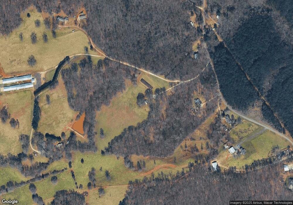
Map
Nearby Homes
- Tract 2 Hwy 51s
- 491 Queen Rd
- 000 Tyler Rd
- 3366 Highway 51 S
- 1583 Hickory Flat Rd
- 817 Yonah Homer Rd
- 1330 Yonah Homer Rd
- 120 Jacks Dr
- 55 Sweetwater Way
- 1054 Mount Sinai Rd
- 2215 Georgia 323
- 483 Greasy Creek St
- 0 Sweetwater Unit 10540130
- 0 Sweetwater Unit 7594896
- 0 H D R Dr Unit 10637398
- 0 H D R Dr Unit 7676406
- 0 H D R Dr Unit 10637403
- 2588 Highway 323
- 0 Highway 98 Unit 10609064
- 6210 Highway 52
- 470 Morris Gardiner Rd
- 498 Morris Gardiner Rd
- 398 Morris Gardiner Rd
- 0 Morris Gardiner Rd
- 580 Morris Gardiner Rd
- 550 Morris Gardiner Rd
- 383 Morris Gardiner Rd
- 218 Rifle Rd
- 375 Rifle Rd
- 224 Rifle Rd
- 628 Welborn Rd
- 584 Morris Gardiner Rd
- 298 Morris Gardiner Rd
- 692 Morris Gardiner Rd
- 626 Welborn Rd
- 247 Morris Gardiner Rd
- 244 Morris Gardiner Rd
- 780 Welborn Rd
- 760 Welborn Rd
- 721 Welborn Rd