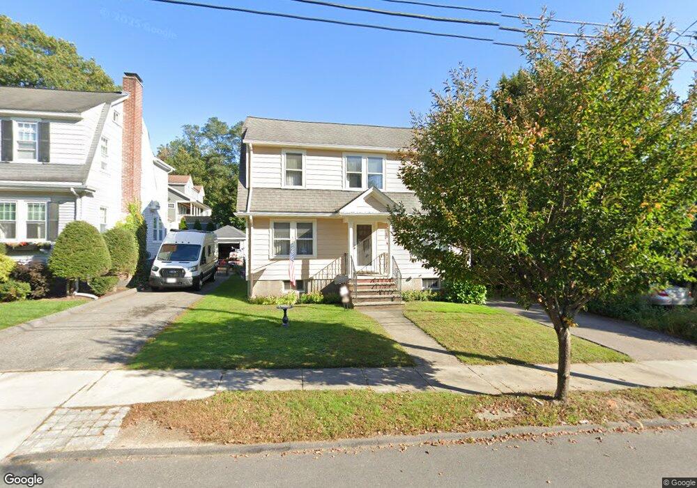
137 Robbins Rd Watertown, MA 02472
East Watertown NeighborhoodEstimated Value: $939,000 - $1,068,000
3
Beds
2
Baths
1,440
Sq Ft
$687/Sq Ft
Est. Value
About This Home
This home is located at 137 Robbins Rd, Watertown, MA 02472 and is currently estimated at $989,567, approximately $687 per square foot. 137 Robbins Rd is a home located in Middlesex County with nearby schools including The Kendall School, St. Stephen's Armenian Elementary School, and Beacon High School.
Ownership History
Date
Name
Owned For
Owner Type
Purchase Details
Closed on
Nov 28, 2017
Sold by
Posato Joseph P
Bought by
Joseph P Posato Irt and Posato
Current Estimated Value
Purchase Details
Closed on
Jan 5, 1972
Bought by
Posato Joseph P and Posato Doris E
Create a Home Valuation Report for This Property
The Home Valuation Report is an in-depth analysis detailing your home's value as well as a comparison with similar homes in the area
Home Values in the Area
Average Home Value in this Area
Purchase History
| Date | Buyer | Sale Price | Title Company |
|---|---|---|---|
| Joseph P Posato Irt | -- | -- | |
| Joseph P Posato Irt | -- | -- | |
| Joseph P Posato Irt | -- | -- | |
| Posato Joseph P | -- | -- |
Source: Public Records
Mortgage History
| Date | Status | Borrower | Loan Amount |
|---|---|---|---|
| Previous Owner | Posato Joseph P | $57,000 | |
| Previous Owner | Posato Joseph P | $75,000 |
Source: Public Records
Tax History Compared to Growth
Tax History
| Year | Tax Paid | Tax Assessment Tax Assessment Total Assessment is a certain percentage of the fair market value that is determined by local assessors to be the total taxable value of land and additions on the property. | Land | Improvement |
|---|---|---|---|---|
| 2025 | $9,150 | $783,400 | $481,300 | $302,100 |
| 2024 | $8,415 | $719,200 | $459,200 | $260,000 |
| 2023 | $9,078 | $668,500 | $437,700 | $230,800 |
| 2022 | $8,643 | $652,300 | $430,500 | $221,800 |
| 2021 | $7,902 | $645,100 | $423,300 | $221,800 |
| 2020 | $7,571 | $623,600 | $401,800 | $221,800 |
| 2019 | $7,264 | $564,000 | $387,400 | $176,600 |
| 2018 | $6,699 | $497,300 | $344,400 | $152,900 |
| 2017 | $7,076 | $509,400 | $344,400 | $165,000 |
| 2016 | $6,294 | $460,100 | $310,300 | $149,800 |
| 2015 | $6,915 | $460,100 | $310,300 | $149,800 |
| 2014 | $6,883 | $460,100 | $310,300 | $149,800 |
Source: Public Records
Map
Nearby Homes
- 68 Lovell Rd
- 152 Bellevue Rd
- 456 Belmont St Unit 10
- 456 Belmont St Unit 21
- 68 Barnard Ave
- 5 Mason Rd
- 30 Merrill Rd
- 532 Belmont St
- 46 Hall Ave Unit 2
- 25 Barnard Ave
- 121 Channing Rd
- 11 Broadway Unit 11
- 15 Cushing Ave Unit 2
- 18 Wilson Ave Unit 2
- 125 Trapelo Rd Unit 23
- 125 Trapelo Rd Unit 21
- 20 Oakley Rd
- 235 Mount Auburn St
- 50 Carroll St Unit 50
- 118 Spring St Unit 118
- 141 Robbins Rd
- 129 Robbins Rd
- 198 Bellevue Rd
- 2 Bellevue Terrace
- 143 Robbins Rd
- 184 Bellevue Rd
- 5 Bellevue Terrace
- 142 Robbins Rd
- 7 Bellevue Terrace
- 144 Robbins Rd Unit 146
- 144 Robbins Rd Unit 1
- 178 Bellevue Rd
- 212 Bellevue Rd
- 153 Robbins Rd
- 209 Common St Unit 2
- 209 Common St Unit 1
- 148 Robbins Rd Unit 150
- 150 Robbins Rd Unit 1
- 150 Robbins Rd Unit 150
- 148 Robbins Rd Unit 1