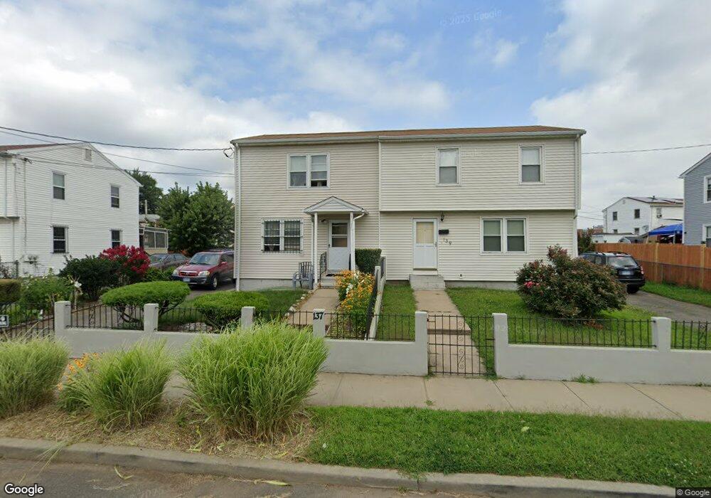
137 Sherman St Bridgeport, CT 06608
East Side Bridgeport NeighborhoodEstimated Value: $267,000 - $284,000
2
Beds
1
Bath
960
Sq Ft
$285/Sq Ft
Est. Value
About This Home
This home is located at 137 Sherman St, Bridgeport, CT 06608 and is currently estimated at $273,720, approximately $285 per square foot. 137 Sherman St is a home located in Fairfield County with nearby schools including Waltersville School, Harding High School, and Capital Prep Harbor Upper School.
Ownership History
Date
Name
Owned For
Owner Type
Purchase Details
Closed on
Sep 16, 2002
Sold by
Jastiniano Mabel
Bought by
Perez Francisco and Perez Luz
Current Estimated Value
Home Financials for this Owner
Home Financials are based on the most recent Mortgage that was taken out on this home.
Original Mortgage
$64,000
Outstanding Balance
$27,203
Interest Rate
6.48%
Estimated Equity
$246,517
Create a Home Valuation Report for This Property
The Home Valuation Report is an in-depth analysis detailing your home's value as well as a comparison with similar homes in the area
Home Values in the Area
Average Home Value in this Area
Purchase History
| Date | Buyer | Sale Price | Title Company |
|---|---|---|---|
| Perez Francisco | $80,000 | -- | |
| Perez Francisco | $80,000 | -- |
Source: Public Records
Mortgage History
| Date | Status | Borrower | Loan Amount |
|---|---|---|---|
| Open | Perez Francisco | $64,000 | |
| Closed | Perez Francisco | $64,000 |
Source: Public Records
Tax History
| Year | Tax Paid | Tax Assessment Tax Assessment Total Assessment is a certain percentage of the fair market value that is determined by local assessors to be the total taxable value of land and additions on the property. | Land | Improvement |
|---|---|---|---|---|
| 2025 | $4,391 | $101,050 | $24,920 | $76,130 |
| 2024 | $4,391 | $101,050 | $24,920 | $76,130 |
| 2023 | $4,391 | $101,050 | $24,920 | $76,130 |
| 2022 | $4,391 | $101,050 | $24,920 | $76,130 |
| 2021 | $4,391 | $101,050 | $24,920 | $76,130 |
| 2020 | $3,307 | $61,250 | $11,800 | $49,450 |
| 2019 | $3,307 | $61,250 | $11,800 | $49,450 |
| 2018 | $3,330 | $61,250 | $11,800 | $49,450 |
| 2017 | $3,330 | $61,250 | $11,800 | $49,450 |
| 2016 | $3,330 | $61,250 | $11,800 | $49,450 |
| 2015 | $3,707 | $87,840 | $19,990 | $67,850 |
| 2014 | $3,707 | $87,840 | $19,990 | $67,850 |
Source: Public Records
Map
Nearby Homes
- 60 Gilmore St Unit 21
- 445 Nichols St
- 509 Pembroke St
- 691 E Main St
- 179 4th St
- 751 E Main St
- 384 Connecticut Ave Unit 386
- 188 Holly St
- 221 Bunnell St
- 40-42 5th St
- 746 Maple St
- 584 Kossuth St
- 800 Seaview Ave Unit 760-4
- 800 Seaview Ave Unit 770-5
- 800 Seaview Ave Unit 800-1
- 93 Clifford St
- 643 Newfield Ave Unit 645
- 349 Noble Ave Unit 355
- 236 Brooks St
- 99 William St Unit B
- 125 Sherman St
- 139 Sherman St
- 155 Sherman St
- 123 Sherman St
- 157 Sherman St
- 28 Sherman Park Ln
- 142 Sherman St
- 61 Sherman Park Cir
- 72 Sherman Park Cir
- 32 Sherman Park Ln
- 136 Sherman St
- 311 Waterview Ave
- 68 Sherman Park Cir
- 82 Goodwin St
- 65 Sherman Park Cir
- 276 Hough Ave Unit 278
- 39 Sherman Park Ln
- 313 Waterview Ave
- 84 Goodwin St
- 283 Waterview Ave Unit B
Your Personal Tour Guide
Ask me questions while you tour the home.