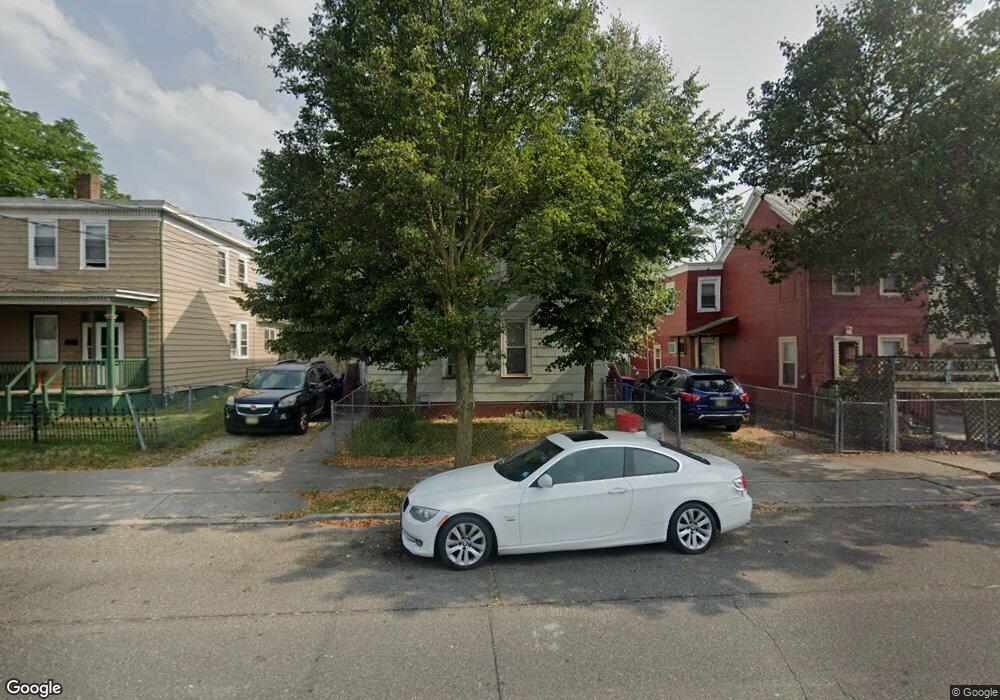
137 W Broad St Millville, NJ 08332
Estimated Value: $106,859 - $138,000
--
Bed
--
Bath
1,096
Sq Ft
$112/Sq Ft
Est. Value
About This Home
This home is located at 137 W Broad St, Millville, NJ 08332 and is currently estimated at $122,465, approximately $111 per square foot. 137 W Broad St is a home located in Cumberland County with nearby schools including R.D. Wood Elementary School, Lakeside Middle School, and Memorial High School.
Ownership History
Date
Name
Owned For
Owner Type
Purchase Details
Closed on
Jul 29, 2022
Sold by
Mcjcsr Llc
Bought by
Jm Neighborhood Properties Llc
Current Estimated Value
Home Financials for this Owner
Home Financials are based on the most recent Mortgage that was taken out on this home.
Original Mortgage
$1,747,000
Outstanding Balance
$1,672,709
Interest Rate
5.7%
Mortgage Type
New Conventional
Estimated Equity
-$1,550,244
Purchase Details
Closed on
Jul 3, 2007
Sold by
Sanders Robert W Ee
Bought by
Oves Alexander J and Oves Thomas R
Create a Home Valuation Report for This Property
The Home Valuation Report is an in-depth analysis detailing your home's value as well as a comparison with similar homes in the area
Home Values in the Area
Average Home Value in this Area
Purchase History
| Date | Buyer | Sale Price | Title Company |
|---|---|---|---|
| Jm Neighborhood Properties Llc | -- | Surety Title | |
| Jm Neighborhood Properties Llc | -- | Surety Title | |
| Oves Alexander J | $95,000 | -- |
Source: Public Records
Mortgage History
| Date | Status | Borrower | Loan Amount |
|---|---|---|---|
| Open | Jm Neighborhood Properties Llc | $1,747,000 | |
| Closed | Jm Neighborhood Properties Llc | $1,747,000 |
Source: Public Records
Tax History Compared to Growth
Tax History
| Year | Tax Paid | Tax Assessment Tax Assessment Total Assessment is a certain percentage of the fair market value that is determined by local assessors to be the total taxable value of land and additions on the property. | Land | Improvement |
|---|---|---|---|---|
| 2025 | $1,613 | $41,100 | $13,600 | $27,500 |
| 2024 | $1,613 | $41,100 | $13,600 | $27,500 |
| 2023 | $1,600 | $41,100 | $13,600 | $27,500 |
| 2022 | $1,558 | $41,100 | $13,600 | $27,500 |
| 2021 | $1,508 | $41,100 | $13,600 | $27,500 |
| 2020 | $1,482 | $41,100 | $13,600 | $27,500 |
| 2019 | $1,414 | $41,100 | $13,600 | $27,500 |
| 2018 | $1,385 | $41,100 | $13,600 | $27,500 |
| 2017 | $1,372 | $41,100 | $13,600 | $27,500 |
| 2016 | $2,109 | $64,000 | $13,600 | $50,400 |
| 2015 | $2,062 | $64,000 | $13,600 | $50,400 |
| 2014 | $2,066 | $64,000 | $13,600 | $50,400 |
Source: Public Records
Map
Nearby Homes
- 550 Columbia Ave
- 552 Columbia Ave
- 504 Columbia Ave
- 500 Columbia Ave
- 414 W Powell St
- 525 Dock St Unit B
- 525 Dock St
- 525 Dock St Unit A
- 10 E Broad St
- 502 N High St
- 108 110 E Oak St
- 709 & 707 Buck St
- 228 High St N
- 503 N 2nd St
- 302 W Main St
- 507 N 2nd St
- 111 Mulford Ave
- 705 N 2nd St
- 404 Sharp St N
- 0 W Main St
- 135 W Broad St
- 139 W Broad St
- 133 W Broad St
- 141 W Broad St
- 143 W Broad St
- 147 W Broad St
- 149 W Broad St
- 559 Columbia Ave
- 555 Columbia Ave Unit 557
- 120 W Broad St
- 151 W Broad St
- 563 Columbia Ave
- 136 W Broad St
- 553 Columbia Ave
- 146 W Broad St
- 250 W Broad St
- 601 Church St
- 603 Church St Unit 605
- 616 Church St
- 547 Columbia Ave