137 W Kiowa Cir Unit 465 Apache Junction, AZ 85119
Estimated Value: $111,000 - $149,000
About This Home
This home is located at 137 W Kiowa Cir Unit 465, Apache Junction, AZ 85119 and is currently estimated at $124,218, approximately $776 per square foot. 137 W Kiowa Cir Unit 465 is a home located in Pinal County with nearby schools including Desert Vista Elementary School, Cactus Canyon Junior High School, and Apache Junction High School.
Ownership History
Purchase Details
Purchase Details
Purchase Details
Home Financials for this Owner
Home Financials are based on the most recent Mortgage that was taken out on this home.Home Values in the Area
Average Home Value in this Area
Purchase History
We collect this data history from publicly available records. To have your information removed, we recommend requesting removal directly through your county’s website.
| Date | Buyer | Sale Price | Title Company |
|---|---|---|---|
| Carlson Brian G | $80,000 | Clear Title Agency Of Az | |
| The Leslie E & Marlene R Kimball Revocab | -- | None Available | |
| Kimball Leslie E | $18,000 | Ati Title Agency |
Mortgage History
We collect this data history from publicly available records. To have your information removed, we recommend requesting removal directly through your county’s website.
| Date | Status | Borrower | Loan Amount |
|---|---|---|---|
| Previous Owner | Kimball Leslie E | $14,000 |
Tax History
| Year | Tax Paid | Tax Assessment Tax Assessment Total Assessment is a certain percentage of the fair market value that is determined by local assessors to be the total taxable value of land and additions on the property. | Land | Improvement |
|---|---|---|---|---|
| 2025 | $623 | -- | -- | -- |
| 2024 | $588 | -- | -- | -- |
| 2023 | $613 | $4,864 | $2,851 | $2,013 |
| 2022 | $588 | $4,808 | $2,851 | $1,957 |
| 2021 | $599 | $4,820 | $0 | $0 |
| 2020 | $518 | $4,834 | $0 | $0 |
| 2019 | $496 | $4,877 | $0 | $0 |
| 2018 | $485 | $3,505 | $0 | $0 |
| 2017 | $518 | $3,660 | $0 | $0 |
| 2016 | $539 | $3,742 | $1,400 | $2,342 |
| 2014 | -- | $4,111 | $1,400 | $2,711 |
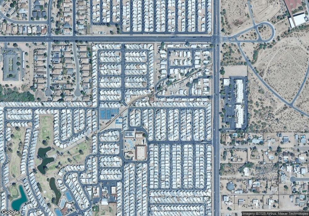
Map
- 1175 Kiowa Cir
- 1495 W Pawnee Ave
- 1448 S Zuni --
- 1041 Cheyenne Dr Unit 41
- 2358 S Pomo Ave
- 2381 S Pomo Ave
- 2322 S Pomo Ave Unit 322
- 2374 S Pomo Ave Unit 374
- 1306 W Chesapeake Dr
- 2010 S Crow Ave
- 1060 Seneca Dr Unit 60
- 2005 S Eno Dr
- 1079 Shoshone Dr Unit 79
- 1127 S Shawnee Dr
- 1523 S Omaha Dr
- 1431 S Apache Dr
- 2006 S Eno Dr Unit 6
- 1167 Kiowa Cir Unit 167
- 1152 S Sioux Dr
- 1157 Sioux Dr Unit 157
- 137 W Kiowa Cir
- 803 W Blackfoot Ave
- 803 W Blackfoot Ave Unit 1473
- 143 W Kiowa Cir
- 804 W Blackfoot Ave
- 1469 Blackfoot Ave
- 1476 Blackfoot Ave Unit 476
- 1473 Blackfoot Ave
- 810 Blackfoot Ave Unit 479
- 1478 W Blackfoot Ave Unit 478
- 1478 W Blackfoot Ave
- 1012 Kiowa Cir
- 1356 Kiowa Cir Unit 356
- 1356 Kiowa Cir
- 1168 Kiowa Cir
- 1169 Kiowa Cir
- 1160 Kiowa Cir
- 1506 S Omaha Dr
- 194 Kiowa Cir Unit 507
- 1460 S Zuni Dr
Ask me questions while you tour the home.