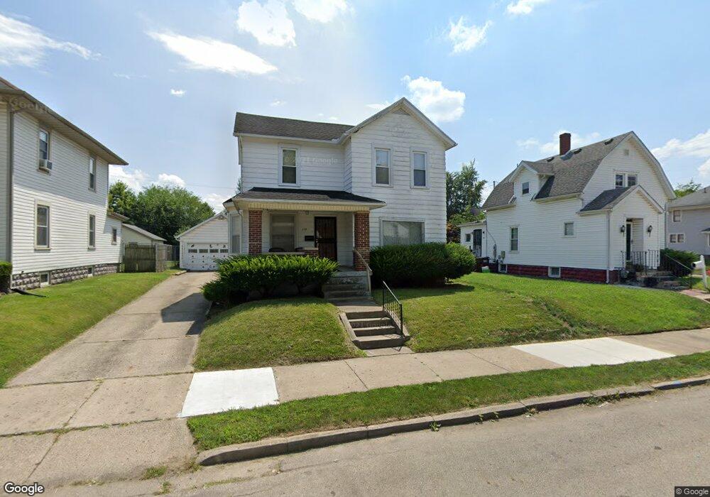
137 W State St Springfield, OH 45506
Estimated Value: $69,000 - $133,000
2
Beds
1
Bath
1,264
Sq Ft
$70/Sq Ft
Est. Value
About This Home
This home is located at 137 W State St, Springfield, OH 45506 and is currently estimated at $88,237, approximately $69 per square foot. 137 W State St is a home located in Clark County with nearby schools including Perrin Woods Elementary School, Hayward Middle School, and Springfield High School.
Ownership History
Date
Name
Owned For
Owner Type
Purchase Details
Closed on
Jun 25, 2020
Bought by
Garlind Properties Ltd
Current Estimated Value
Home Financials for this Owner
Home Financials are based on the most recent Mortgage that was taken out on this home.
Interest Rate
3.13%
Purchase Details
Closed on
Oct 1, 2016
Sold by
Cedargate Properties Llc
Bought by
Garlind Properties Ltd
Home Financials for this Owner
Home Financials are based on the most recent Mortgage that was taken out on this home.
Original Mortgage
$749,359
Interest Rate
6.75%
Mortgage Type
Land Contract Argmt. Of Sale
Purchase Details
Closed on
Jun 8, 2007
Sold by
Pickard Mia
Bought by
Wachovia Bank Na and Aegis Asset Backed Securities Trust Mort
Create a Home Valuation Report for This Property
The Home Valuation Report is an in-depth analysis detailing your home's value as well as a comparison with similar homes in the area
Home Values in the Area
Average Home Value in this Area
Purchase History
| Date | Buyer | Sale Price | Title Company |
|---|---|---|---|
| Garlind Properties Ltd | $749,400 | -- | |
| Garlind Properties Ltd | $749,359 | Ohio Real Estate Title | |
| Wachovia Bank Na | $26,667 | None Available |
Source: Public Records
Mortgage History
| Date | Status | Borrower | Loan Amount |
|---|---|---|---|
| Closed | Garlind Properties Ltd | -- | |
| Previous Owner | Garlind Properties Ltd | $749,359 |
Source: Public Records
Tax History
| Year | Tax Paid | Tax Assessment Tax Assessment Total Assessment is a certain percentage of the fair market value that is determined by local assessors to be the total taxable value of land and additions on the property. | Land | Improvement |
|---|---|---|---|---|
| 2025 | $801 | $22,050 | $1,860 | $20,190 |
| 2024 | $780 | $15,800 | $1,600 | $14,200 |
| 2023 | $780 | $15,800 | $1,600 | $14,200 |
| 2022 | $800 | $15,800 | $1,600 | $14,200 |
| 2021 | $729 | $13,270 | $1,320 | $11,950 |
| 2020 | $731 | $13,270 | $1,320 | $11,950 |
| 2019 | $733 | $13,270 | $1,320 | $11,950 |
| 2018 | $653 | $11,350 | $1,130 | $10,220 |
| 2017 | $652 | $11,351 | $1,134 | $10,217 |
| 2016 | $653 | $11,351 | $1,134 | $10,217 |
| 2015 | $666 | $11,351 | $1,134 | $10,217 |
| 2014 | $663 | $11,351 | $1,134 | $10,217 |
| 2013 | $656 | $11,351 | $1,134 | $10,217 |
Source: Public Records
Map
Nearby Homes
- 311 W Grand Ave
- 1355 S Fountain Ave
- 0 W Perrin Ave Unit 1043508
- 0 W Perrin Ave Unit 951292
- 326 W Grand Ave
- 405 W Southern Ave
- 1619 S Center Blvd
- 209 W Liberty St
- 506 W Southern Ave
- 907-913 S Limestone St
- 410 W Liberty St
- 1417 Clifton Ave Unit 1419
- 1754 S Fountain Ave
- 702 S Wittenberg Ave
- 550 W Parkwood Ave
- 205 E Grand Ave
- 610 Portage Path
- 1730 Damascus Ave
- 1002 S Yellow Springs St
- 518 Hazelbrook Ave
- 141 W State St
- 135 W Johnny Lytle Ave
- 129 W State St
- 144 W Perrin Ave
- 150 W Perrin Ave
- 201 W State St Unit 203
- 138 W Perrin Ave
- 138 W State St
- 132 W Perrin Ave
- 117 W State St Unit 119
- 136 W State St
- 142 W Johnny Lytle Ave
- 142 W State St
- 207 W Johnny Lytle Ave
- 130 W Johnny Lytle Ave Unit 132
- 128 W Perrin Ave
- 204 W Perrin Ave
- 124 W State St
- 128 W State St
- 115 W Johnny Lytle Ave
Your Personal Tour Guide
Ask me questions while you tour the home.