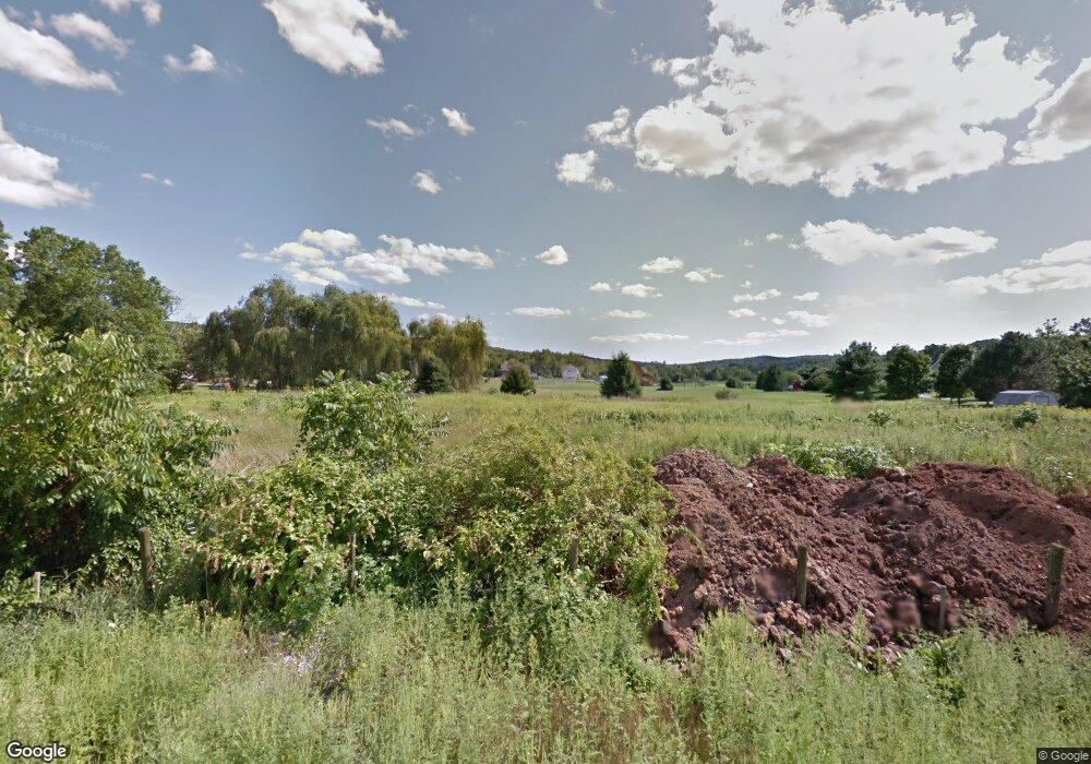
137 Wilcox Rd Middletown, CT 06457
Estimated Value: $547,000 - $1,058,000
3
Beds
4
Baths
4,787
Sq Ft
$182/Sq Ft
Est. Value
About This Home
This home is located at 137 Wilcox Rd, Middletown, CT 06457 and is currently estimated at $869,896, approximately $181 per square foot. 137 Wilcox Rd is a home with nearby schools including Bielefield School and Middletown High School.
Ownership History
Date
Name
Owned For
Owner Type
Purchase Details
Closed on
Jan 31, 2013
Sold by
Garofalo Jessica M
Bought by
Garofalo Mark and Garofalo Jessica M
Current Estimated Value
Home Financials for this Owner
Home Financials are based on the most recent Mortgage that was taken out on this home.
Original Mortgage
$205,000
Outstanding Balance
$98,551
Interest Rate
3.41%
Estimated Equity
$771,345
Purchase Details
Closed on
Jun 2, 1998
Sold by
Jackson Frederic L
Bought by
Falvey John H and Falvey Mary Ann
Home Financials for this Owner
Home Financials are based on the most recent Mortgage that was taken out on this home.
Original Mortgage
$145,100
Interest Rate
7.12%
Mortgage Type
Unknown
Create a Home Valuation Report for This Property
The Home Valuation Report is an in-depth analysis detailing your home's value as well as a comparison with similar homes in the area
Home Values in the Area
Average Home Value in this Area
Purchase History
| Date | Buyer | Sale Price | Title Company |
|---|---|---|---|
| Garofalo Mark | -- | -- | |
| Falvey John H | $25,500 | -- |
Source: Public Records
Mortgage History
| Date | Status | Borrower | Loan Amount |
|---|---|---|---|
| Open | Garofalo Mark | $205,000 | |
| Previous Owner | Falvey John H | $145,100 |
Source: Public Records
Tax History Compared to Growth
Tax History
| Year | Tax Paid | Tax Assessment Tax Assessment Total Assessment is a certain percentage of the fair market value that is determined by local assessors to be the total taxable value of land and additions on the property. | Land | Improvement |
|---|---|---|---|---|
| 2025 | $20,700 | $559,290 | $66,390 | $492,900 |
| 2024 | $19,805 | $559,290 | $66,390 | $492,900 |
| 2023 | $18,798 | $559,290 | $66,390 | $492,900 |
| 2022 | $18,301 | $443,610 | $49,170 | $394,440 |
| 2021 | $18,220 | $443,610 | $49,170 | $394,440 |
| 2020 | $3,195 | $443,610 | $49,170 | $394,440 |
| 2019 | $3,172 | $443,610 | $49,170 | $394,440 |
| 2018 | $17,648 | $443,610 | $49,170 | $394,440 |
| 2017 | $3,439 | $367,310 | $60,110 | $307,200 |
| 2016 | $13,923 | $367,310 | $60,110 | $307,200 |
| 2015 | $13,295 | $358,670 | $60,110 | $298,560 |
| 2014 | $9,273 | $250,410 | $60,110 | $190,300 |
Source: Public Records
Map
Nearby Homes
- 143 Julia Terrace Unit 143
- 8 Countryside Ln Unit 2
- 44 Trailside Crossing
- 15 Kent Ct
- 77 Lindsey Rd
- 95 Training Hill Rd
- 208 Highmeadow Ln
- 0 Arbutus St Unit 24065180
- 56 Bidwell Terrace
- 347 Farm Hill Rd
- 4 Hillside Ct
- 1 Russell St Unit 15
- 1 Russell St Unit 11
- 50 Garfield Ave
- 154 Front St
- 30 Denison Rd
- 42 Saybrook Rd
- 73 Durant St
- 120 Chamberlain Hill Rd
- 37 Front St
