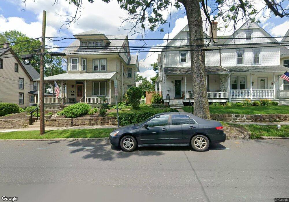
137 Worthington St Doylestown, PA 18901
Estimated Value: $648,705 - $841,000
3
Beds
2
Baths
1,575
Sq Ft
$466/Sq Ft
Est. Value
About This Home
This home is located at 137 Worthington St, Doylestown, PA 18901 and is currently estimated at $733,926, approximately $465 per square foot. 137 Worthington St is a home located in Bucks County with nearby schools including Doyle El School, Lenape Middle School, and Central Bucks High School-West.
Ownership History
Date
Name
Owned For
Owner Type
Purchase Details
Closed on
Oct 28, 2005
Sold by
England Anne and Dougherty Daniel P
Bought by
Carlson Berit X
Current Estimated Value
Home Financials for this Owner
Home Financials are based on the most recent Mortgage that was taken out on this home.
Original Mortgage
$47,500
Outstanding Balance
$25,851
Interest Rate
5.93%
Mortgage Type
Credit Line Revolving
Estimated Equity
$708,075
Purchase Details
Closed on
May 30, 2000
Sold by
Hetzel William B and Niese Jennifer R
Bought by
England Anne and Dougherty Daniel P
Home Financials for this Owner
Home Financials are based on the most recent Mortgage that was taken out on this home.
Original Mortgage
$197,900
Interest Rate
8.12%
Create a Home Valuation Report for This Property
The Home Valuation Report is an in-depth analysis detailing your home's value as well as a comparison with similar homes in the area
Home Values in the Area
Average Home Value in this Area
Purchase History
| Date | Buyer | Sale Price | Title Company |
|---|---|---|---|
| Carlson Berit X | $475,000 | None Available | |
| England Anne | $219,900 | -- |
Source: Public Records
Mortgage History
| Date | Status | Borrower | Loan Amount |
|---|---|---|---|
| Open | Carlson Berit X | $47,500 | |
| Open | Carlson Berit X | $380,000 | |
| Previous Owner | England Anne | $197,900 |
Source: Public Records
Tax History Compared to Growth
Tax History
| Year | Tax Paid | Tax Assessment Tax Assessment Total Assessment is a certain percentage of the fair market value that is determined by local assessors to be the total taxable value of land and additions on the property. | Land | Improvement |
|---|---|---|---|---|
| 2025 | $3,099 | $17,200 | $2,440 | $14,760 |
| 2024 | $3,099 | $17,200 | $2,440 | $14,760 |
| 2023 | $2,952 | $17,200 | $2,440 | $14,760 |
| 2022 | $2,911 | $17,200 | $2,440 | $14,760 |
| 2021 | $2,879 | $17,200 | $2,440 | $14,760 |
| 2020 | $2,847 | $17,200 | $2,440 | $14,760 |
| 2019 | $2,816 | $17,200 | $2,440 | $14,760 |
| 2018 | $2,782 | $17,200 | $2,440 | $14,760 |
| 2017 | $2,752 | $17,200 | $2,440 | $14,760 |
| 2016 | $2,752 | $17,200 | $2,440 | $14,760 |
| 2015 | -- | $17,200 | $2,440 | $14,760 |
| 2014 | -- | $17,200 | $2,440 | $14,760 |
Source: Public Records
Map
Nearby Homes
- 195 Lafayette St
- 37 N Clinton St
- 236 Green St
- 403 S Main St Unit S201
- 3 Steeplechase Dr
- 130 N Clinton St
- 69 E Oakland Ave
- 110 E Ashland St
- 89 Homestead Dr
- 20 E Court St
- 9 Mill Creek Dr
- 1 Barnes Ct
- 155 E Oakland Ave
- 272 Fox Chase Ln
- 146 E Court St
- 146 N Church St
- 114 Progress Dr
- 78 Tower Hill Rd
- 339 E Ashland St
- 32 Hibiscus Ct Unit 32
- 135 Worthington St
- 145 Bunker St
- 129 Worthington St
- 128 Worthington St
- 155 Bunker St
- 141 S West St
- 149 S West St
- 133 W Ashland St
- 131 W Ashland St
- 166 W Oakland Ave
- 132 Bunker St
- 127 W Ashland St
- 147 W Ashland St
- 118 S Franklin St
- 110 S Franklin St
- 155 S West St
- 149 W Ashland St
- 154 W Oakland Ave
- 119 W Ashland St
- 151 S West St