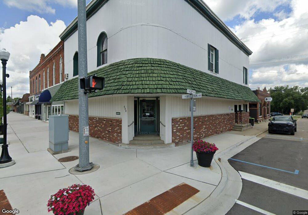
1370 E M 55 West Branch, MI 48661
Estimated Value: $199,500 - $242,000
3
Beds
1
Bath
1,164
Sq Ft
$190/Sq Ft
Est. Value
About This Home
This home is located at 1370 E M 55, West Branch, MI 48661 and is currently estimated at $220,875, approximately $189 per square foot. 1370 E M 55 is a home located in Ogemaw County with nearby schools including Surline Elementary School, Surline Middle School, and Ogemaw Heights High School.
Ownership History
Date
Name
Owned For
Owner Type
Purchase Details
Closed on
Oct 4, 2006
Sold by
Hamilton Richard R
Bought by
Miller Karen
Current Estimated Value
Home Financials for this Owner
Home Financials are based on the most recent Mortgage that was taken out on this home.
Original Mortgage
$50,000
Interest Rate
6.15%
Purchase Details
Closed on
Sep 26, 2006
Sold by
Miller Karen
Bought by
Pohlman Gary B
Home Financials for this Owner
Home Financials are based on the most recent Mortgage that was taken out on this home.
Original Mortgage
$50,000
Interest Rate
6.15%
Create a Home Valuation Report for This Property
The Home Valuation Report is an in-depth analysis detailing your home's value as well as a comparison with similar homes in the area
Home Values in the Area
Average Home Value in this Area
Purchase History
| Date | Buyer | Sale Price | Title Company |
|---|---|---|---|
| Miller Karen | $95,000 | -- | |
| Pohlman Gary B | $130,000 | -- |
Source: Public Records
Mortgage History
| Date | Status | Borrower | Loan Amount |
|---|---|---|---|
| Closed | Miller Karen | $50,000 |
Source: Public Records
Tax History Compared to Growth
Tax History
| Year | Tax Paid | Tax Assessment Tax Assessment Total Assessment is a certain percentage of the fair market value that is determined by local assessors to be the total taxable value of land and additions on the property. | Land | Improvement |
|---|---|---|---|---|
| 2025 | $1,037 | $86,300 | $0 | $0 |
| 2024 | $5 | $79,400 | $0 | $0 |
| 2023 | $473 | $64,900 | $0 | $0 |
| 2022 | $938 | $46,300 | $0 | $0 |
| 2021 | $868 | $42,100 | $0 | $0 |
| 2020 | $894 | $44,500 | $0 | $0 |
| 2019 | $813 | $38,400 | $0 | $0 |
| 2018 | $794 | $39,400 | $0 | $0 |
| 2017 | $731 | $41,400 | $0 | $0 |
| 2016 | $713 | $37,000 | $0 | $0 |
| 2015 | $711 | $40,700 | $0 | $0 |
| 2014 | $708 | $36,800 | $0 | $0 |
Source: Public Records
Map
Nearby Homes
- 0 Whitetail Ct Unit 165
- 1240 Quigley Rd
- 1820 N Ogemaw Trail
- 2011 S Ogemaw Trail
- 1872 Indianwood Trail
- x Oleskie Trail
- 00 Oak Ridge Ct
- 00 E Tawas Rd
- 409 S Morrison Rd
- 1380 S Campbell Rd
- 4038 Brookview Dr E
- 3528 Henderson Lake Rd
- 2141 Geraldine St
- 4594 Timber Lane Rd
- 0 First St Unit 1924409
- 5324 st richards Lot 3 Lucinda
- 2407 Todd Dr
- 2030 George St
- 781 Lula Ln
- LOT 21-22 George St Unit 21-22