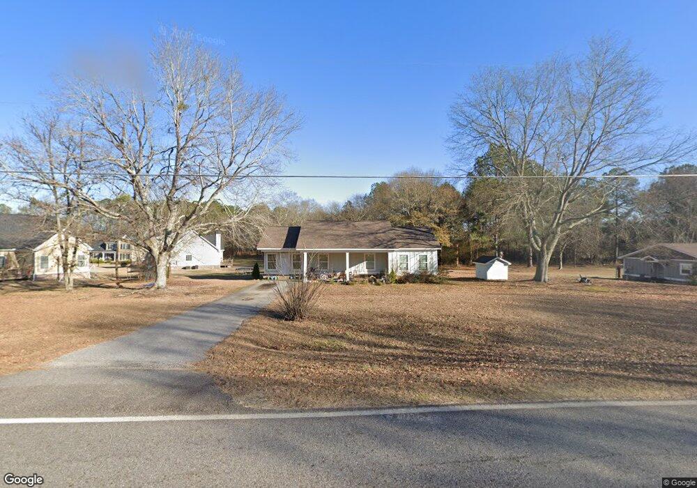
1370 Malcom Bridge Rd Bogart, GA 30622
Estimated Value: $304,690 - $471,000
Studio
--
Bath
1,320
Sq Ft
$284/Sq Ft
Est. Value
About This Home
This home is located at 1370 Malcom Bridge Rd, Bogart, GA 30622 and is currently estimated at $375,173, approximately $284 per square foot. 1370 Malcom Bridge Rd is a home located in Oconee County with nearby schools including Rocky Branch Elementary School, Malcom Bridge Middle School, and North Oconee High School.
Ownership History
Date
Name
Owned For
Owner Type
Purchase Details
Closed on
Jan 1, 2024
Sold by
Frazer Creek Investments Llc
Bought by
Eastville Properties Llc
Current Estimated Value
Purchase Details
Closed on
May 12, 2017
Sold by
Anthony Michael O
Bought by
Frzaer Creek Investments Llc
Purchase Details
Closed on
Apr 20, 2012
Sold by
Delay J Ray
Bought by
Anthony Michael O and Anthony Renita V
Home Financials for this Owner
Home Financials are based on the most recent Mortgage that was taken out on this home.
Original Mortgage
$30,000
Interest Rate
4.13%
Mortgage Type
New Conventional
Create a Home Valuation Report for This Property
The Home Valuation Report is an in-depth analysis detailing your home's value as well as a comparison with similar homes in the area
Purchase History
| Date | Buyer | Sale Price | Title Company |
|---|---|---|---|
| Eastville Properties Llc | -- | -- | |
| Frzaer Creek Investments Llc | -- | -- | |
| Frazer Creek Investments Llc | $85,000 | -- | |
| Anthony Michael O | $45,000 | -- |
Source: Public Records
Mortgage History
| Date | Status | Borrower | Loan Amount |
|---|---|---|---|
| Previous Owner | Anthony Michael O | $30,000 |
Source: Public Records
Tax History
| Year | Tax Paid | Tax Assessment Tax Assessment Total Assessment is a certain percentage of the fair market value that is determined by local assessors to be the total taxable value of land and additions on the property. | Land | Improvement |
|---|---|---|---|---|
| 2025 | $1,995 | $109,918 | $25,497 | $84,421 |
| 2024 | $1,995 | $100,245 | $23,582 | $76,663 |
| 2023 | $1,873 | $93,947 | $21,836 | $72,111 |
| 2022 | $1,724 | $80,359 | $17,468 | $62,891 |
| 2021 | $1,697 | $73,305 | $15,880 | $57,425 |
| 2020 | $1,598 | $68,933 | $14,436 | $54,497 |
| 2019 | $1,509 | $65,080 | $12,554 | $52,526 |
| 2018 | $666 | $28,116 | $11,412 | $16,704 |
| 2017 | $509 | $21,487 | $9,204 | $12,283 |
| 2016 | $480 | $20,274 | $8,368 | $11,906 |
| 2015 | $481 | $20,270 | $8,368 | $11,902 |
| 2014 | $462 | $19,014 | $7,608 | $11,406 |
| 2013 | -- | $18,592 | $7,607 | $10,985 |
Source: Public Records
Map
Nearby Homes
- 1496 Malcom Estates Dr
- 1224 Malcom Estates Point Unit Lot 67
- 0 Us 53 Hwy Unit 10376334
- 3065 Brookhaven Dr
- 1051 Brookshire Dr
- 1060 Parker Creek Rd
- 1070 Brookshire Ct
- 1895 Vintage Place
- 1491 Virgil Langford Rd
- 1934 Malcom Estates Dr
- 2791 Day Dr
- 1224 Malcom Estates Point Lot: 67
- 1190 Wareview Ct
- 1120 Long Creek Dr
- 2740 Rowan Oak Estates Way
- 2020 Clotfelter Rd
- 2266 Malcom Estates Ridge
- 2165 Harperfield Dr
- 1001 Highpoint Ln
- 1250 Hammond Creek Trail
- 1350 Malcom Bridge Rd
- 1371 Malcom Bridge Rd
- 1340 Malcom Bridge Rd
- 1341 Malcom Bridge Rd
- 1330 Malcom Bridge Rd
- 1359 Malcom Bridge Rd
- 1391 Malcom Bridge Rd
- 1331 Malcom Bridge Rd
- 1301 Malcom Bridge Rd
- 1401 Hodges Mill Rd
- 1290 Malcom Bridge Rd
- 1361 Malcom Bridge Rd
- 1421 Hodges Mill Rd
- 1291 Malcom Bridge Rd
- 1361 Hodges Mill Rd
- 1371 Hodges Mill Rd
- 1401 Malcom Bridge Rd
- 1061 Timarron Trail
- 1051 Timarron Trail
- 1051 Timarron Trail
Your Personal Tour Guide
Ask me questions while you tour the home.