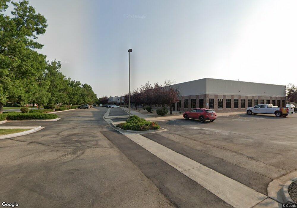
1370 Miners Dr Lafayette, CO 80026
Estimated Value: $6,340,511
--
Bed
--
Bath
30,600
Sq Ft
$207/Sq Ft
Est. Value
About This Home
This home is located at 1370 Miners Dr, Lafayette, CO 80026 and is currently estimated at $6,340,511, approximately $207 per square foot. 1370 Miners Dr is a home located in Boulder County with nearby schools including Ryan Elementary School, Angevine Middle School, and Centaurus High School.
Ownership History
Date
Name
Owned For
Owner Type
Purchase Details
Closed on
Jun 1, 2010
Sold by
Public Road Llc
Bought by
Wei Miners Llc
Current Estimated Value
Home Financials for this Owner
Home Financials are based on the most recent Mortgage that was taken out on this home.
Original Mortgage
$322,737
Interest Rate
6.35%
Mortgage Type
Commercial
Create a Home Valuation Report for This Property
The Home Valuation Report is an in-depth analysis detailing your home's value as well as a comparison with similar homes in the area
Home Values in the Area
Average Home Value in this Area
Purchase History
| Date | Buyer | Sale Price | Title Company |
|---|---|---|---|
| Wei Miners Llc | $2,400,000 | Land Title Guarantee Company |
Source: Public Records
Mortgage History
| Date | Status | Borrower | Loan Amount |
|---|---|---|---|
| Closed | Wei Miners Llc | $322,737 |
Source: Public Records
Tax History Compared to Growth
Tax History
| Year | Tax Paid | Tax Assessment Tax Assessment Total Assessment is a certain percentage of the fair market value that is determined by local assessors to be the total taxable value of land and additions on the property. | Land | Improvement |
|---|---|---|---|---|
| 2025 | $128,554 | $1,281,123 | $398,925 | $882,198 |
| 2024 | $128,554 | $1,281,123 | $398,925 | $882,198 |
| 2023 | $153,821 | $1,766,154 | $377,822 | $1,388,332 |
| 2022 | $92,509 | $984,848 | $240,215 | $744,633 |
| 2021 | $88,938 | $984,848 | $240,215 | $744,633 |
| 2020 | $85,741 | $938,150 | $240,215 | $697,935 |
| 2019 | $84,556 | $938,150 | $240,215 | $697,935 |
| 2018 | $81,558 | $893,380 | $136,744 | $756,636 |
| 2017 | $79,408 | $893,380 | $136,744 | $756,636 |
| 2016 | $68,321 | $843,030 | $216,514 | $626,516 |
| 2015 | $72,526 | $668,682 | $156,455 | $512,227 |
| 2014 | $57,820 | $668,682 | $156,455 | $512,227 |
Source: Public Records
Map
Nearby Homes
- 1656 Lander Ln
- 1675 Saratoga Dr
- 299 Cheyenne Dr
- 677 Rawlins Way
- 335 Jackson St
- 549 Jackson St
- 603 Casper Dr
- 705 Rawlins Way
- 727 Rawlins Way
- 519 Cheyenne Dr
- 1616 Longbow Ct
- 611 Cheyenne Dr
- 1065 Modred St
- 285 Skylark Cir
- 304 Skylark Cir
- 715 Bunting Dr
- 730 Quail Dr
- 803 Quail Cove
- 713 Merlin Dr
- 704 Meadowlark Dr
- 1351 Lander Ln
- 1345 Lander Ln
- 1357 Lander Ln
- 1339 Lander Ln
- 1363 Lander Ln
- 1335 Lander Ln
- 1369 Lander Ln
- 1333 Lander Ln
- 1375 Lander Ln
- 1329 Lander Ln
- 1327 Lander Ln
- 1360 Lander Ln
- 1381 Lander Ln
- 1354 Lander Ln
- 1366 Lander Ln
- 1372 Lander Ln
- 1334 Lander Ln
- 1332 Lander Ln
- 1321 Lander Ln
- 315 Golden Gate Dr