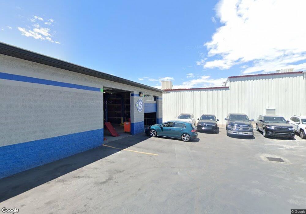
1370 S 500 W Woods Cross, UT 84010
--
Bed
--
Bath
36,338
Sq Ft
2.16
Acres
About This Home
This home is located at 1370 S 500 W, Woods Cross, UT 84010. 1370 S 500 W is a home located in Davis County with nearby schools including Woods Cross Elementary School, Millcreek Junior High School, and Woods Cross High School.
Ownership History
Date
Name
Owned For
Owner Type
Purchase Details
Closed on
Dec 10, 2018
Sold by
Stahle Investment Llc
Bought by
Gubler Properties Llc
Home Financials for this Owner
Home Financials are based on the most recent Mortgage that was taken out on this home.
Original Mortgage
$1,400,000
Outstanding Balance
$1,231,018
Interest Rate
4.8%
Mortgage Type
Commercial
Purchase Details
Closed on
Nov 6, 1998
Sold by
Stahle R Gail
Bought by
Stahle Investment Llc
Purchase Details
Closed on
Apr 17, 1998
Sold by
Stahle R Gail
Bought by
Stahle Investment Llc
Create a Home Valuation Report for This Property
The Home Valuation Report is an in-depth analysis detailing your home's value as well as a comparison with similar homes in the area
Home Values in the Area
Average Home Value in this Area
Purchase History
| Date | Buyer | Sale Price | Title Company |
|---|---|---|---|
| Gubler Properties Llc | -- | Us Title Company | |
| Stahle Investment Llc | -- | -- | |
| Stahle Investment Llc | -- | -- |
Source: Public Records
Mortgage History
| Date | Status | Borrower | Loan Amount |
|---|---|---|---|
| Open | Gubler Properties Llc | $1,400,000 |
Source: Public Records
Tax History Compared to Growth
Tax History
| Year | Tax Paid | Tax Assessment Tax Assessment Total Assessment is a certain percentage of the fair market value that is determined by local assessors to be the total taxable value of land and additions on the property. | Land | Improvement |
|---|---|---|---|---|
| 2025 | $3,556 | $2,147,646 | $622,995 | $1,524,651 |
| 2024 | $3,281 | $1,137,733 | $299,175 | $838,558 |
| 2023 | $21,462 | $1,100,000 | $261,441 | $838,558 |
| 2022 | $21,352 | $2,000,000 | $475,349 | $1,524,651 |
| 2021 | $2,289 | $2,063,609 | $548,265 | $1,515,344 |
| 2020 | $25,108 | $2,063,900 | $548,556 | $1,515,344 |
| 2019 | $26,128 | $2,100,000 | $548,556 | $1,551,444 |
| 2018 | $23,353 | $1,853,321 | $182,952 | $1,670,369 |
| 2016 | $24,209 | $1,223,600 | $521,413 | $702,187 |
| 2015 | $14,946 | $1,088,000 | $521,413 | $566,587 |
| 2014 | $14,407 | $1,088,000 | $521,413 | $566,587 |
| 2013 | -- | $1,088,000 | $521,413 | $566,587 |
Source: Public Records
Map
Nearby Homes