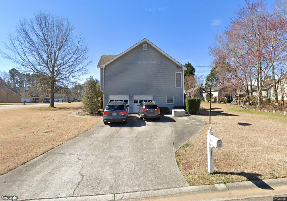
1370 Shamrock Hill Cir Unit 1 Loganville, GA 30052
Estimated Value: $364,000 - $383,000
3
Beds
3
Baths
1,586
Sq Ft
$235/Sq Ft
Est. Value
About This Home
This home is located at 1370 Shamrock Hill Cir Unit 1, Loganville, GA 30052 and is currently estimated at $373,176, approximately $235 per square foot. 1370 Shamrock Hill Cir Unit 1 is a home located in Gwinnett County with nearby schools including Magill Elementary School, Grace Snell Middle School, and South Gwinnett High School.
Ownership History
Date
Name
Owned For
Owner Type
Purchase Details
Closed on
Feb 9, 1999
Sold by
Fitts Mable C
Bought by
Sins David G and Sins Jill F
Current Estimated Value
Home Financials for this Owner
Home Financials are based on the most recent Mortgage that was taken out on this home.
Original Mortgage
$75,800
Outstanding Balance
$17,233
Interest Rate
6.79%
Mortgage Type
New Conventional
Estimated Equity
$355,943
Create a Home Valuation Report for This Property
The Home Valuation Report is an in-depth analysis detailing your home's value as well as a comparison with similar homes in the area
Home Values in the Area
Average Home Value in this Area
Purchase History
| Date | Buyer | Sale Price | Title Company |
|---|---|---|---|
| Sins David G | $95,800 | -- |
Source: Public Records
Mortgage History
| Date | Status | Borrower | Loan Amount |
|---|---|---|---|
| Open | Sins David G | $75,800 |
Source: Public Records
Tax History Compared to Growth
Tax History
| Year | Tax Paid | Tax Assessment Tax Assessment Total Assessment is a certain percentage of the fair market value that is determined by local assessors to be the total taxable value of land and additions on the property. | Land | Improvement |
|---|---|---|---|---|
| 2025 | $911 | $139,280 | $30,000 | $109,280 |
| 2024 | $900 | $132,240 | $30,000 | $102,240 |
| 2023 | $900 | $124,520 | $29,680 | $94,840 |
| 2022 | $0 | $127,320 | $19,200 | $108,120 |
| 2021 | $2,566 | $84,680 | $12,000 | $72,680 |
| 2020 | $2,585 | $84,680 | $12,000 | $72,680 |
| 2019 | $2,480 | $82,560 | $11,200 | $71,360 |
| 2018 | $2,408 | $76,880 | $8,000 | $68,880 |
| 2016 | $2,123 | $62,640 | $7,200 | $55,440 |
| 2015 | $1,874 | $50,920 | $7,200 | $43,720 |
| 2014 | $2,054 | $58,800 | $7,200 | $51,600 |
Source: Public Records
Map
Nearby Homes
- 910 Burning Bush Dr
- 1245 Shamrock Hill Cir Unit 1
- 900 Burning Bush Dr Unit 2
- 1210 Burning Bush Dr
- 3705 Heron Creek Ct
- 3715 Heron Creek Ct
- The Auburn Plan at
- The Jefferson Plan at
- The Montrose Plan at
- The Edison Plan at
- The Pearson Plan at
- The Tifton Plan at
- The Weston Plan at
- The Wesley Plan at
- The Denton Plan at
- 3315 Linstead Ct
- 3315 Linstead Ct Unit 2A
- 1361 Stephens View Dr
- 1371 Stephens View Dr
- 3604 Squires Park Ln
- 1360 Shamrock Hill Cir
- 1410 Shamrock Hill Cir
- 1395 Shamrock Hill Cir
- 1375 Shamrock Hill Cir Unit 1
- 1365 Shamrock Hill Cir Unit 11
- 1365 Shamrock Hill Cir
- 1350 Shamrock Hill Cir Unit 1
- 1405 Shamrock Hill Cir
- 1405 Shamrock Hill Cir Unit 1
- 3570 Thrush Ct
- 1420 Shamrock Hill Cir
- 1355 Shamrock Hill Cir Unit 1
- 1385 Shamrock Hill Cir
- 1415 Shamrock Hill Cir
- 3560 Thrush Ct Unit 1
- 1430 Shamrock Hill Cir Unit 1
- 1345 Shamrock Hill Cir
- 1425 Shamrock Hill Cir
- 1330 Shamrock Hill Cir
- 3575 Thrush Ct