1370 Summit Rd Alpharetta, GA 30004
Estimated Value: $1,788,000 - $4,413,000
4
Beds
6
Baths
5,731
Sq Ft
$510/Sq Ft
Est. Value
About This Home
This home is located at 1370 Summit Rd, Alpharetta, GA 30004 and is currently estimated at $2,925,670, approximately $510 per square foot. 1370 Summit Rd is a home located in Fulton County with nearby schools including Summit Hill Elementary School, Northwestern Middle School, and Cambridge High School.
Ownership History
Date
Name
Owned For
Owner Type
Purchase Details
Closed on
Oct 5, 2001
Sold by
Kirby Scott A and Kirby Denice R
Bought by
Pershing Richard J and Pershing Susan P
Current Estimated Value
Home Financials for this Owner
Home Financials are based on the most recent Mortgage that was taken out on this home.
Original Mortgage
$1,100,000
Outstanding Balance
$406,627
Interest Rate
6.13%
Mortgage Type
New Conventional
Estimated Equity
$2,519,043
Purchase Details
Closed on
Jun 2, 1999
Sold by
Nickerson Virginia K W
Bought by
Kirby Scott A and Kirby Denice R
Create a Home Valuation Report for This Property
The Home Valuation Report is an in-depth analysis detailing your home's value as well as a comparison with similar homes in the area
Home Values in the Area
Average Home Value in this Area
Purchase History
| Date | Buyer | Sale Price | Title Company |
|---|---|---|---|
| Pershing Richard J | $1,685,000 | -- | |
| Kirby Scott A | $180,000 | -- |
Source: Public Records
Mortgage History
| Date | Status | Borrower | Loan Amount |
|---|---|---|---|
| Open | Pershing Richard J | $1,100,000 |
Source: Public Records
Tax History Compared to Growth
Tax History
| Year | Tax Paid | Tax Assessment Tax Assessment Total Assessment is a certain percentage of the fair market value that is determined by local assessors to be the total taxable value of land and additions on the property. | Land | Improvement |
|---|---|---|---|---|
| 2025 | $3,035 | $1,060,760 | $241,840 | $818,920 |
| 2023 | $54,416 | $1,224,760 | $241,840 | $982,920 |
| 2022 | $20,141 | $1,113,040 | $234,520 | $878,520 |
| 2021 | $19,428 | $995,960 | $238,200 | $757,760 |
| 2020 | $14,787 | $550,920 | $162,000 | $388,920 |
| 2019 | $2,788 | $550,920 | $162,000 | $388,920 |
| 2018 | $19,094 | $944,080 | $225,800 | $718,280 |
| 2017 | $19,741 | $688,560 | $141,920 | $546,640 |
| 2016 | $19,744 | $688,560 | $141,920 | $546,640 |
| 2015 | $23,011 | $688,560 | $141,920 | $546,640 |
| 2014 | $20,716 | $688,560 | $141,920 | $546,640 |
Source: Public Records
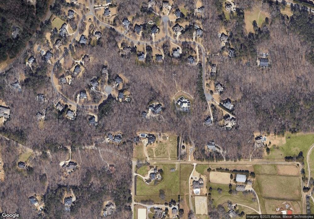
Map
Nearby Homes
- 815 Brickwood Ln
- 139200 Cowart Rd
- 1530 Redd Rd
- 14250 Freemanville Rd
- Lot 2 Cowart Rd
- LOT 2 13920 Cowart Rd
- 13890 Cowart Rd
- 705 Nettlebrook Ln
- 14260 Phillips Cir
- 13825 Cowart Rd
- 515 N Burgess Trail
- 14200 Hopewell Rd
- 0 Providence Way Rear
- 14050 Providence Rd
- 14040 Providence Rd
- 735 Hammock Ln
- 14300 Providence Rd
- 13980 Haystack Ln
- 14560 Wood Rd
- 13440 Hipworth Rd
- 1360 Summit Rd
- 1380 Summit Rd
- 805 Brickwood Ln Unit 1
- 815 Brickwood Ln Unit 13
- 1350 Summit Rd
- 1645 Reddstone Close
- 1655 Reddstone Close
- 190 Blackrock Trace Unit 2
- 260 Blackrock Trace
- 0 Summit Rd Unit 5884713
- 0 Summit Rd Unit 8231486
- 0 Summit Rd Unit 8773000
- 0 Summit Rd Unit 7546554
- 0 Summit Rd Unit 8676707
- 800 Brickwood Ln Unit 1
- 0 Brickwood Ln Unit 7632234
- 0 Brickwood Ln Unit 7548021
- 0 Brickwood Ln Unit 3253091
- 795 Brickwood Ln Unit 1
- 220 Blackrock Trace Unit 2