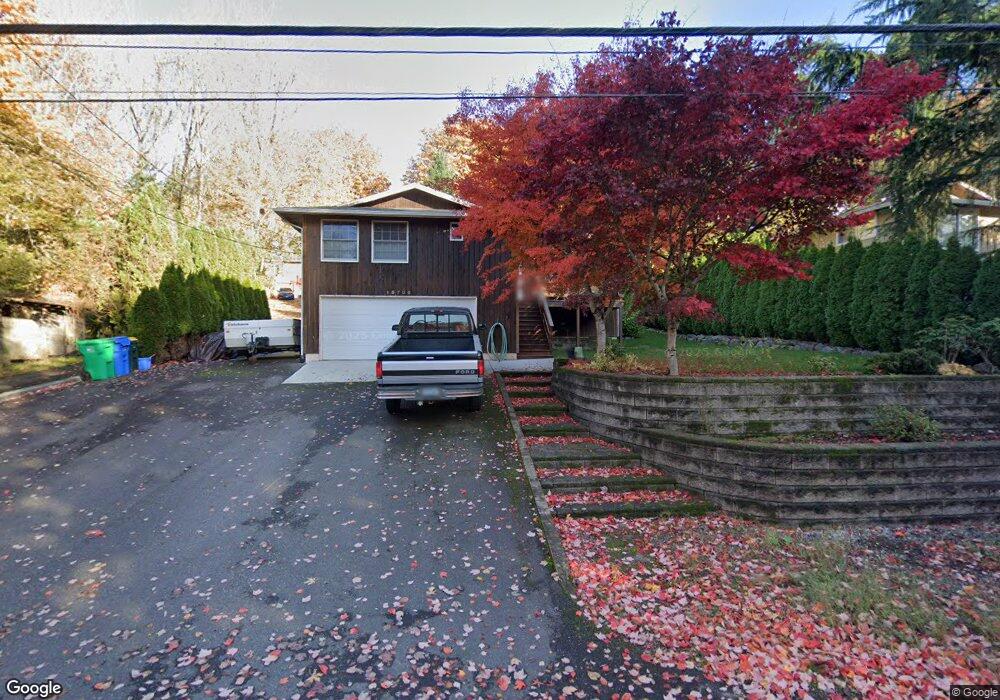
13700 SE Fair Oaks Dr Milwaukie, OR 97222
Estimated Value: $526,000 - $591,660
3
Beds
2
Baths
1,512
Sq Ft
$368/Sq Ft
Est. Value
About This Home
This home is located at 13700 SE Fair Oaks Dr, Milwaukie, OR 97222 and is currently estimated at $556,165, approximately $367 per square foot. 13700 SE Fair Oaks Dr is a home located in Clackamas County with nearby schools including Oak Grove Elementary School, Alder Creek Middle School, and Rex Putnam High School.
Ownership History
Date
Name
Owned For
Owner Type
Purchase Details
Closed on
Jul 7, 2006
Sold by
Hearing Robert A and Hearing Linda K
Bought by
Spisla John A
Current Estimated Value
Home Financials for this Owner
Home Financials are based on the most recent Mortgage that was taken out on this home.
Original Mortgage
$130,000
Outstanding Balance
$76,686
Interest Rate
6.63%
Mortgage Type
Purchase Money Mortgage
Estimated Equity
$479,479
Create a Home Valuation Report for This Property
The Home Valuation Report is an in-depth analysis detailing your home's value as well as a comparison with similar homes in the area
Home Values in the Area
Average Home Value in this Area
Purchase History
| Date | Buyer | Sale Price | Title Company |
|---|---|---|---|
| Spisla John A | $272,000 | Lawyers Title Ins |
Source: Public Records
Mortgage History
| Date | Status | Borrower | Loan Amount |
|---|---|---|---|
| Open | Spisla John A | $130,000 |
Source: Public Records
Tax History Compared to Growth
Tax History
| Year | Tax Paid | Tax Assessment Tax Assessment Total Assessment is a certain percentage of the fair market value that is determined by local assessors to be the total taxable value of land and additions on the property. | Land | Improvement |
|---|---|---|---|---|
| 2025 | $4,604 | $241,689 | -- | -- |
| 2024 | $4,441 | $234,650 | -- | -- |
| 2023 | $4,441 | $227,816 | $0 | $0 |
| 2022 | $4,085 | $221,181 | $0 | $0 |
| 2021 | $3,936 | $214,739 | $0 | $0 |
| 2020 | $3,813 | $208,485 | $0 | $0 |
| 2019 | $3,758 | $202,413 | $0 | $0 |
| 2018 | $3,291 | $196,517 | $0 | $0 |
| 2017 | $3,186 | $190,793 | $0 | $0 |
| 2016 | $3,073 | $185,236 | $0 | $0 |
| 2015 | $2,986 | $179,841 | $0 | $0 |
| 2014 | $2,823 | $174,603 | $0 | $0 |
Source: Public Records
Map
Nearby Homes
- 985 SE Rim Rock Ln
- 14007 SE Cedar Ave
- 14222 SE Laurie Ave
- 13740 Fielding Rd
- 251 Stampher Rd
- 14411 SE Wagner Ln
- 49 Briarwood Rd
- 0 SE Cedar Ave
- 14368 SE Lee Ave
- 13060 SW Elk Rock Rd
- 12850 Fielding Rd
- 750 SW 1st Unit E31
- 707 1st St
- 705 1st St
- 703 1st St
- 701 1st St
- 13770 SE Linden Ln
- 124 D Ave
- 639 2nd St
- 289 G Ave
- 13720 SE Fair Oaks Dr
- 13674 SE Fair Oaks Dr
- 13682 SE Fair Oaks Dr
- 13707 SE Maloy Ln
- 13742 SE Fair Oaks Dr
- 13699 SE Maloy Ln
- 13621 SE Fair Oaks Dr
- 13801 SE Maloy Ln
- 13711 SE Maloy Ln
- 1345 SE Denny Ave
- 13811 SE Maloy Ln
- 13717 SE Fair Oaks Dr
- 13797 SE Bluff Rd
- 13708 SE Maloy Ln
- 13704 SE Maloy Ln
- 13710 SE Maloy Ln
- 13815 SE Maloy Ln
- 13000 SE Laurie Ave
- 13755 SE Fair Oaks Dr
- 13712 SE Maloy Ln