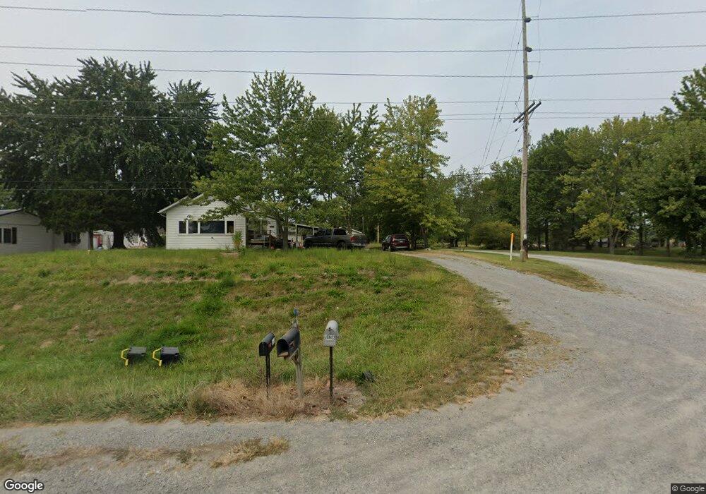
13707 State Highway 37 Whittington, IL 62897
Estimated Value: $148,000 - $208,157
--
Bed
--
Bath
--
Sq Ft
9.75
Acres
About This Home
This home is located at 13707 State Highway 37, Whittington, IL 62897 and is currently estimated at $185,539. 13707 State Highway 37 is a home located in Franklin County with nearby schools including Ewing-Northern Elementary School and Benton Consolidated High School.
Ownership History
Date
Name
Owned For
Owner Type
Purchase Details
Closed on
Mar 30, 2016
Sold by
Jones Terri L
Bought by
Jones Ty E
Current Estimated Value
Create a Home Valuation Report for This Property
The Home Valuation Report is an in-depth analysis detailing your home's value as well as a comparison with similar homes in the area
Home Values in the Area
Average Home Value in this Area
Purchase History
| Date | Buyer | Sale Price | Title Company |
|---|---|---|---|
| Jones Ty E | $90,000 | None Available |
Source: Public Records
Tax History Compared to Growth
Tax History
| Year | Tax Paid | Tax Assessment Tax Assessment Total Assessment is a certain percentage of the fair market value that is determined by local assessors to be the total taxable value of land and additions on the property. | Land | Improvement |
|---|---|---|---|---|
| 2024 | $2,856 | $47,005 | $1,820 | $45,185 |
| 2023 | $2,725 | $42,345 | $1,640 | $40,705 |
| 2022 | $2,734 | $39,945 | $1,545 | $38,400 |
| 2021 | $2,733 | $38,410 | $1,485 | $36,925 |
| 2020 | $2,644 | $37,655 | $1,455 | $36,200 |
| 2019 | $2,639 | $36,915 | $1,425 | $35,490 |
| 2018 | $2,639 | $36,550 | $1,410 | $35,140 |
| 2017 | $2,637 | $35,750 | $1,380 | $34,370 |
| 2016 | $2,478 | $33,455 | $1,290 | $32,165 |
| 2015 | $2,429 | $33,025 | $1,275 | $31,750 |
| 2014 | $2,429 | $33,025 | $1,275 | $31,750 |
| 2013 | $2,441 | $33,025 | $1,275 | $31,750 |
Source: Public Records
Map
Nearby Homes
- 13142 Illinois 37
- 00 Shiloh Cemetery Rd
- 00 Illinois 37
- 13916 Leisure Ln
- 12863 Bowling Alley Rd
- 10950 Prestwick Dr
- 0000 White Birch Ct
- 000 White Birch Ct
- 000 Sterling St
- 36 & 37 N Della St
- 6175 E Park St
- 10322 Mine 24 Rd
- 15316 Lakepoint Dr
- 203 W Bond St
- 1209 Election Dr
- 1201 N McLeansboro St
- 10107 Sugar Creek Rd
- 1019 Election Dr
- 309 W Main St
- 1012 Election Dr
- 13763 State Highway 37
- 13763 State Highway 37
- 13643 State Highway 37
- 13643 Illinois 37
- 12955 Mallard Dr
- 12926 Mallard Dr
- 12910 Mallard Dr
- 12906 Mallard Dr
- 13648 Illinois 37
- 12892 Mallard Dr
- 13617 State Highway 37
- 13648 State Highway 37
- 13821 State Highway 37
- 12806 Mallard Dr
- 1420 Cardinal Dr
- 13839 Illinois 37
- 13879 Palestine Church Rd
- 119B Cardinal Dr
- #87 #87 Skier''S Run