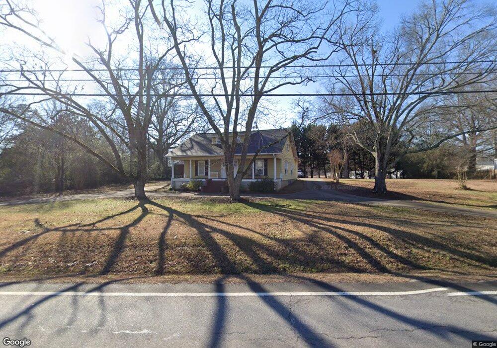
1371 Atlanta Hwy Bogart, GA 30622
Estimated Value: $298,000 - $398,000
--
Bed
--
Bath
2,031
Sq Ft
$178/Sq Ft
Est. Value
About This Home
This home is located at 1371 Atlanta Hwy, Bogart, GA 30622 and is currently estimated at $361,720, approximately $178 per square foot. 1371 Atlanta Hwy is a home located in Oconee County with nearby schools including Malcom Bridge Elementary School, Malcom Bridge Middle School, and North Oconee High School.
Ownership History
Date
Name
Owned For
Owner Type
Purchase Details
Closed on
Nov 21, 2012
Sold by
Walnow Karen K
Bought by
Walinow Karen D
Current Estimated Value
Home Financials for this Owner
Home Financials are based on the most recent Mortgage that was taken out on this home.
Original Mortgage
$98,000
Outstanding Balance
$43,059
Interest Rate
3.45%
Mortgage Type
New Conventional
Estimated Equity
$318,661
Purchase Details
Closed on
Dec 28, 2011
Sold by
Walinow Karen D
Bought by
Shelnutt Steven F
Create a Home Valuation Report for This Property
The Home Valuation Report is an in-depth analysis detailing your home's value as well as a comparison with similar homes in the area
Home Values in the Area
Average Home Value in this Area
Purchase History
| Date | Buyer | Sale Price | Title Company |
|---|---|---|---|
| Walinow Karen D | -- | -- | |
| Shelnutt Steven F | -- | -- | |
| Shelnutt Steven F | -- | -- |
Source: Public Records
Mortgage History
| Date | Status | Borrower | Loan Amount |
|---|---|---|---|
| Open | Walinow Karen D | $98,000 |
Source: Public Records
Tax History Compared to Growth
Tax History
| Year | Tax Paid | Tax Assessment Tax Assessment Total Assessment is a certain percentage of the fair market value that is determined by local assessors to be the total taxable value of land and additions on the property. | Land | Improvement |
|---|---|---|---|---|
| 2024 | $2,204 | $99,178 | $16,000 | $83,178 |
| 2023 | $2,145 | $92,258 | $16,000 | $76,258 |
| 2022 | $2,002 | $81,004 | $16,000 | $65,004 |
| 2021 | $2,002 | $68,691 | $12,000 | $56,691 |
| 2020 | $1,745 | $64,862 | $12,000 | $52,862 |
| 2019 | $1,709 | $63,300 | $12,000 | $51,300 |
| 2018 | $1,584 | $57,542 | $12,000 | $45,542 |
| 2017 | $1,471 | $53,416 | $12,000 | $41,416 |
| 2016 | $1,267 | $46,006 | $10,800 | $35,206 |
| 2015 | $1,258 | $45,616 | $10,800 | $34,816 |
| 2014 | $1,236 | $43,901 | $10,800 | $33,101 |
| 2013 | -- | $41,571 | $10,800 | $30,771 |
Source: Public Records
Map
Nearby Homes
- 1715 Whistling Creek Crossing Unit Lot 21
- 119 S Church St
- 159 Pine Valley Rd
- 2188 Day Dr
- 1851 McNutt Creek Rd
- 1811 McNutt Creek Rd
- 325 Twin Oaks Cir
- 1216 Ray's River Run
- 3451 Clayton Dr
- 3377 Clayton Dr
- 2130 Keeneland Dr
- 2130 Keeneland Dr
- 105 Tall Tree Rd
- 109 Tall Tree Rd
- 135 Couplet Dr
- 210 Tall Tree Rd
- 737 Fitzroy Dr
- 1361 Atlanta Hwy
- 1351 Atlanta Hwy
- 2001 Atlanta Hwy
- 00 Atlanta Hwy
- 165 E Thompson St
- 167 E Thompson St
- 1341 Atlanta Hwy
- 163 E Thompson St
- 1431 Atlanta Hwy
- 1431 Atlanta Hwy
- 116 S Burson Ave
- 1461 Atlanta Hwy
- 130 S Burson Ave
- 152 S Burson Ave
- 1290 Atlanta Hwy
- 186 N Burson Ave
- 160 S Burson Ave
- 164 N Burson Ave
- 113 Elder St