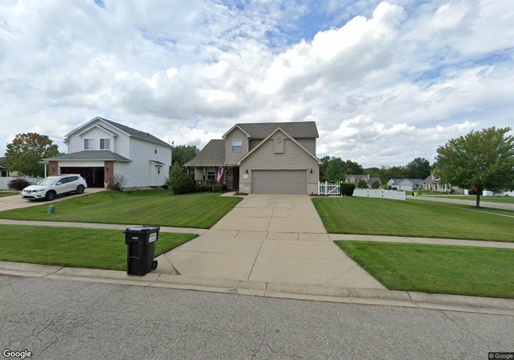
1371 Maple Leaf Ln Unit 89 Howell, MI 48843
Estimated Value: $353,000 - $381,000
3
Beds
2
Baths
1,663
Sq Ft
$222/Sq Ft
Est. Value
About This Home
This home is located at 1371 Maple Leaf Ln Unit 89, Howell, MI 48843 and is currently estimated at $369,003, approximately $221 per square foot. 1371 Maple Leaf Ln Unit 89 is a home located in Livingston County with nearby schools including Northwest Elementary School, Highlander Way Middle School, and Howell High School.
Ownership History
Date
Name
Owned For
Owner Type
Purchase Details
Closed on
May 22, 2020
Sold by
Hays Richard M and Hays Jacqueline D
Bought by
Hess Samantha J and Hays Jason L
Current Estimated Value
Purchase Details
Closed on
Nov 21, 2001
Sold by
Sanzica Building Inc
Bought by
Hays Richard M and Hays Jacqueline D
Purchase Details
Closed on
May 30, 2001
Sold by
Progressive Homes Inc
Bought by
Sanzica Building Inc
Create a Home Valuation Report for This Property
The Home Valuation Report is an in-depth analysis detailing your home's value as well as a comparison with similar homes in the area
Home Values in the Area
Average Home Value in this Area
Purchase History
| Date | Buyer | Sale Price | Title Company |
|---|---|---|---|
| Hess Samantha J | -- | None Available | |
| Hays Richard M | $211,200 | American Title Co | |
| Sanzica Building Inc | $48,000 | Select Title Company |
Source: Public Records
Tax History
| Year | Tax Paid | Tax Assessment Tax Assessment Total Assessment is a certain percentage of the fair market value that is determined by local assessors to be the total taxable value of land and additions on the property. | Land | Improvement |
|---|---|---|---|---|
| 2025 | $1,579 | $174,200 | $0 | $0 |
| 2024 | $1,534 | $166,800 | $0 | $0 |
| 2023 | $1,466 | $142,400 | $0 | $0 |
| 2022 | $683 | $119,100 | $0 | $0 |
| 2021 | $2,030 | $124,900 | $0 | $0 |
| 2020 | $2,054 | $119,100 | $0 | $0 |
| 2019 | $2,024 | $111,400 | $0 | $0 |
| 2018 | $2,007 | $98,900 | $0 | $0 |
| 2017 | $2,001 | $96,600 | $0 | $0 |
| 2016 | $1,963 | $93,700 | $0 | $0 |
| 2014 | $2,251 | $80,800 | $0 | $0 |
| 2012 | $2,251 | $76,600 | $0 | $0 |
Source: Public Records
Map
Nearby Homes
- 2830 Bonny Brook Dr Unit 3
- 1570 Princewood Blvd
- 2643 Kerria Dr Unit 65
- 2511 Kerria Dr Unit 42
- 2430 Hickory Circle Dr Unit 103
- 475 Cannonade Loop
- 571 Cannonade Loop
- 487 Cannonade Loop
- 559 Cannonade Loop
- 499 Cannonade Loop
- VACANT LOT Thompson Shore Dr
- 607 Cannonade Loop
- 1315 Central Ave
- 0 Eager Unit 293099
- TBD Cannonade Loop
- 409 Lake St
- 326 Victoria Park Dr Unit 38
- 809 N Michigan Ave
- 325 Lake St
- 1104 Burns St
- 1353 Maple Leaf Ln Unit 88
- 1374 Ashwood Ln Unit 90
- 1335 Maple Leaf Ln
- 2699 Laurel Ridge Ln Unit 40
- 1356 Ashwood Ln
- 2715 Laurel Ridge Ln
- 1364 Maple Leaf Ln Unit 56
- 2677 Laurel Ridge Ln Unit 39
- 1338 Ashwood Ln Unit 92
- 2731 Laurel Ridge Ln
- 1346 Maple Leaf Ln Unit 57
- 1420 Ashwood Ln
- 1317 Maple Leaf Ln
- 1438 Ashwood Ln
- 2756 Laurel Ridge Ln
- 1328 Maple Leaf Ln
- 2749 Laurel Ridge Ln
- 1320 Ashwood Ln Unit 93
- 0 Ashwood Ln
- 1299 Maple Leaf Ln Unit 85
Your Personal Tour Guide
Ask me questions while you tour the home.