Estimated Value: $851,000 - $990,000
1
Bed
3
Baths
3,844
Sq Ft
$245/Sq Ft
Est. Value
About This Home
This home is located at 1371 N 1060 W Unit 7, Lehi, UT 84043 and is currently estimated at $942,599, approximately $245 per square foot. 1371 N 1060 W Unit 7 is a home located in Utah County with nearby schools including Lehi Elementary School, Lehi Junior High School, and Lehi High School.
Ownership History
Date
Name
Owned For
Owner Type
Purchase Details
Closed on
Sep 4, 2024
Sold by
Rogers Matthew
Bought by
Rogers Matthew and Rogers Stephanie Michelle Elm
Current Estimated Value
Purchase Details
Closed on
Jun 20, 2024
Sold by
Alpine Homes Llc
Bought by
Rogers Matthew
Home Financials for this Owner
Home Financials are based on the most recent Mortgage that was taken out on this home.
Original Mortgage
$748,426
Interest Rate
6.78%
Mortgage Type
New Conventional
Purchase Details
Closed on
Nov 16, 2023
Sold by
Sage Homes Llc
Bought by
Alpine Homes Llc
Home Financials for this Owner
Home Financials are based on the most recent Mortgage that was taken out on this home.
Original Mortgage
$3,622,594
Interest Rate
7.57%
Mortgage Type
Construction
Create a Home Valuation Report for This Property
The Home Valuation Report is an in-depth analysis detailing your home's value as well as a comparison with similar homes in the area
Home Values in the Area
Average Home Value in this Area
Purchase History
| Date | Buyer | Sale Price | Title Company |
|---|---|---|---|
| Rogers Matthew | -- | Highland Title | |
| Rogers Matthew | -- | Highland Title | |
| Alpine Homes Llc | -- | Old Republic Title |
Source: Public Records
Mortgage History
| Date | Status | Borrower | Loan Amount |
|---|---|---|---|
| Previous Owner | Rogers Matthew | $748,426 | |
| Previous Owner | Alpine Homes Llc | $3,622,594 |
Source: Public Records
Tax History Compared to Growth
Tax History
| Year | Tax Paid | Tax Assessment Tax Assessment Total Assessment is a certain percentage of the fair market value that is determined by local assessors to be the total taxable value of land and additions on the property. | Land | Improvement |
|---|---|---|---|---|
| 2025 | $1,748 | $456,665 | $218,900 | $611,400 |
| 2024 | $1,563 | $204,600 | $0 | $0 |
| 2023 | $1,563 | $198,600 | $0 | $0 |
| 2022 | $1,646 | $202,700 | $202,700 | $0 |
| 2021 | $1,237 | $126,700 | $126,700 | $0 |
Source: Public Records
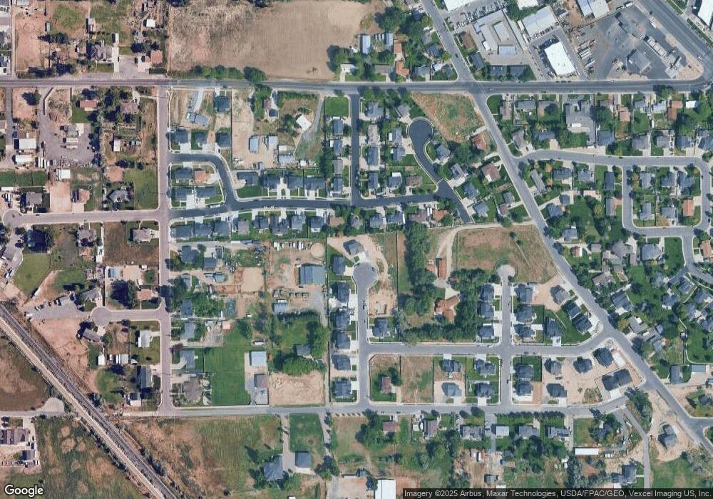
Map
Nearby Homes
- 1094 W 1425 N
- 1301 N 900 W Unit 12
- 902 W 1500 N
- 1610 N 1125 W
- 1332 W 1500 N
- 1817 W Bad Rock Cir
- 1132 Titan Dr
- 1249 W 1800 N
- 1032 Titan Dr
- 1272 W 1800 N
- 1011 W Mountain Way Unit 316
- 1127 N 1500 W
- 1627 W Boxwood Dr Unit 110
- 1659 W Boxwood Dr Unit 109
- 578 N Woods Dr
- 1755 N 250 W
- 1542 N 1900 W
- 443 W 820 N
- 1150 N 200 W Unit 6
- 996 N 200 W
- 1371 N 1060 W
- 1359 N 1060 W Unit 6
- 965 W 1425 N
- 953 W 1425 N
- 941 W 1425 N
- 1003 W 1425 N Unit 14
- 1340 N 1060 W
- 1335 N 1060 W Unit 5
- 929 W 1425 N
- 1047 W 1425 N Unit LOT 15
- 1318 N 1060 W Unit 10
- 1442 N 950 W
- 1002 W 1425 N
- 1311 N 1060 W
- 1091 W 1425 N
- 917 W 1425 N
- 1451 N 950 W
- 1048 W 1425 N Unit 12
- 926 W 1425 N
- 1304 N 1060 W