1371 Oakmont Dr Winter Haven, FL 33884
Southeast Winterhaven NeighborhoodEstimated Value: $324,691 - $392,000
2
Beds
2
Baths
1,677
Sq Ft
$211/Sq Ft
Est. Value
About This Home
This home is located at 1371 Oakmont Dr, Winter Haven, FL 33884 and is currently estimated at $354,423, approximately $211 per square foot. 1371 Oakmont Dr is a home with nearby schools including Jewett School of the Arts, O'Dea Elementary School, and Frank E. Brigham Academy.
Ownership History
Date
Name
Owned For
Owner Type
Purchase Details
Closed on
Mar 12, 2024
Sold by
Mcguire Robert D and Mcguire Pamela A
Bought by
Ferrell Erin L and Mcguire Kerry A
Current Estimated Value
Purchase Details
Closed on
Oct 16, 2017
Sold by
Lake Ashton Development Group Ii Llc
Bought by
Mcguire Robert D and Mcguire Pamela A
Home Financials for this Owner
Home Financials are based on the most recent Mortgage that was taken out on this home.
Original Mortgage
$78,000
Interest Rate
3.82%
Create a Home Valuation Report for This Property
The Home Valuation Report is an in-depth analysis detailing your home's value as well as a comparison with similar homes in the area
Home Values in the Area
Average Home Value in this Area
Purchase History
| Date | Buyer | Sale Price | Title Company |
|---|---|---|---|
| Ferrell Erin L | -- | None Listed On Document | |
| Ferrell Erin L | -- | None Listed On Document | |
| Mcguire Robert D | $252,100 | Attorney |
Source: Public Records
Mortgage History
| Date | Status | Borrower | Loan Amount |
|---|---|---|---|
| Previous Owner | Mcguire Robert D | $78,000 |
Source: Public Records
Tax History Compared to Growth
Tax History
| Year | Tax Paid | Tax Assessment Tax Assessment Total Assessment is a certain percentage of the fair market value that is determined by local assessors to be the total taxable value of land and additions on the property. | Land | Improvement |
|---|---|---|---|---|
| 2025 | $7,435 | $227,564 | -- | -- |
| 2024 | $7,122 | $221,151 | -- | -- |
| 2023 | $7,122 | $214,710 | $0 | $0 |
| 2022 | $6,828 | $208,456 | $0 | $0 |
| 2021 | $7,017 | $202,384 | $0 | $0 |
| 2020 | $6,659 | $199,590 | $0 | $0 |
| 2018 | $6,335 | $198,500 | $60,000 | $138,500 |
| 2017 | $3,171 | $1,815 | $0 | $0 |
Source: Public Records
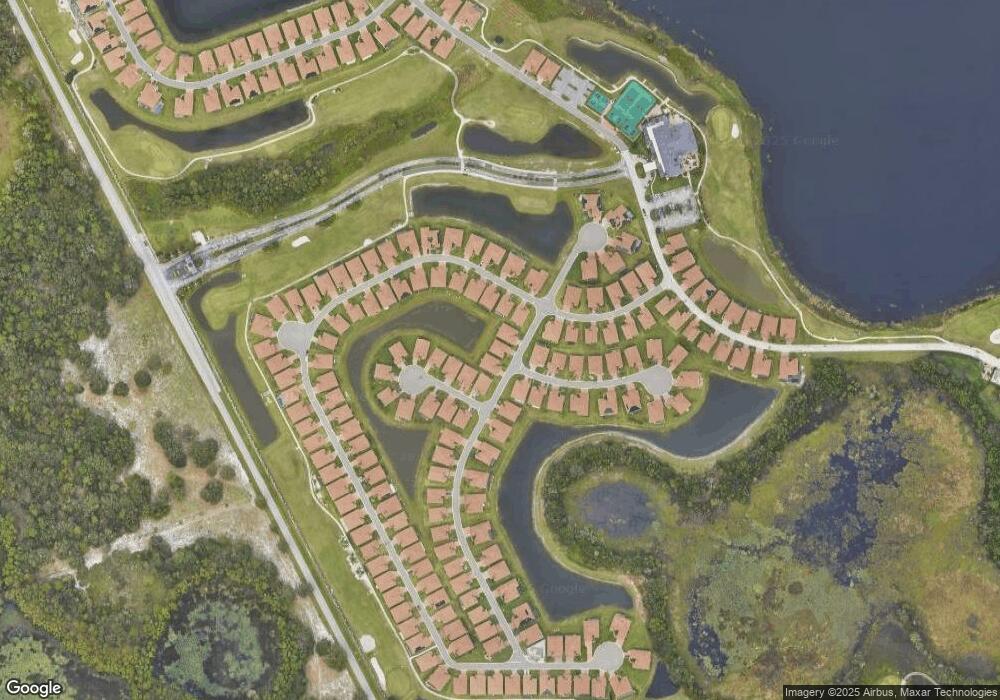
Map
Nearby Homes
- 1336 Oakmont Dr
- 1069 Sawgrass Dr
- 1142 Sawgrass Dr
- 1124 Sawgrass Dr
- 1394 Oakmont Dr
- 6212 Pinehurst Loop
- 6265 Pinehurst Loop
- 6301 Pinehurst Loop
- 4048 Phoenician Way
- The Cambridge Plan at Crescent Pointe
- The Charlotte II Plan at Crescent Pointe
- The Westminster II Plan at Crescent Pointe
- The Newport II Plan at Crescent Pointe
- The Belmont II Plan at Crescent Pointe
- The Bristol II Plan at Crescent Pointe
- 5225 Pebble Beach Blvd
- 5200 Pebble Beach Blvd
- 4276 Dunmore Dr
- 4433 Ventana Ln
- 5461 Hogan Ln
- 1367 Oakmont Dr
- 1375 Oakmont Dr
- 1033 Sawgrass Dr
- 1503 Riviera Ct
- 1406 Colonial Ct
- 1037 Sawgrass Dr
- 1410 Colonial Ct
- 1508 Riviera Ct
- 1041 Sawgrass Dr
- 1029 Sawgrass Dr
- 1507 Riviera Ct
- 1358 Oakmont Dr
- 1045 Sawgrass Dr
- 1414 Colonial Ct
- 1025 Sawgrass Dr
- 1403 Colonial Ct
- 1511 Riviera Ct
- 1512 Riviera Ct
- 1032 Sawgrass Dr
- 1407 Colonial Ct