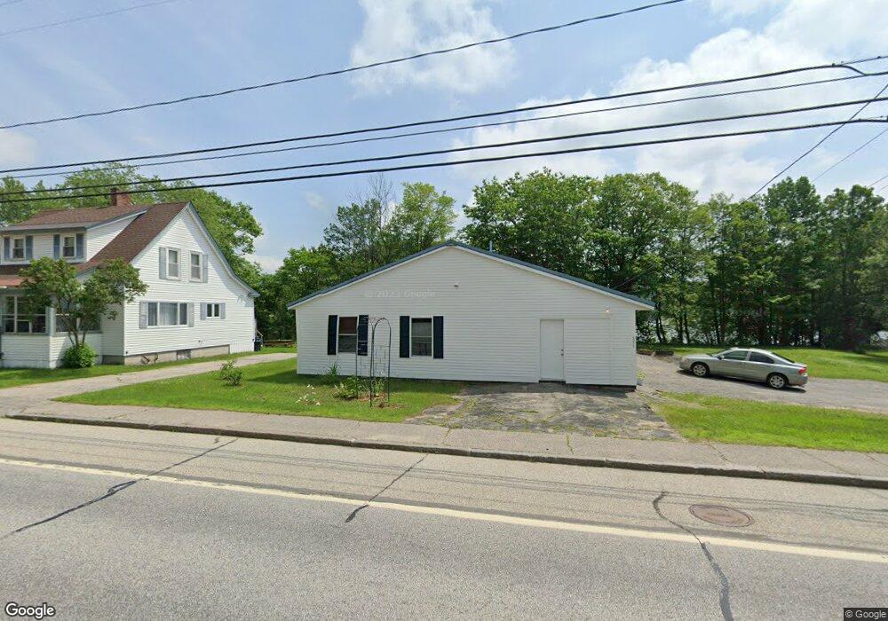
1371 Us Route 2 Rumford, ME 04276
Estimated Value: $125,000 - $213,000
--
Bed
--
Bath
1,600
Sq Ft
$108/Sq Ft
Est. Value
About This Home
This home is located at 1371 Us Route 2, Rumford, ME 04276 and is currently estimated at $173,147, approximately $108 per square foot. 1371 Us Route 2 is a home located in Oxford County with nearby schools including Rumford Elementary School, Meroby Elementary School, and Mountain Valley Middle School.
Ownership History
Date
Name
Owned For
Owner Type
Purchase Details
Closed on
Jul 22, 2021
Sold by
Ambrose Wilbur S and Ambrose Brenda Y
Bought by
Macgregor Linda
Current Estimated Value
Home Financials for this Owner
Home Financials are based on the most recent Mortgage that was taken out on this home.
Original Mortgage
$150,000
Outstanding Balance
$137,293
Interest Rate
3.49%
Mortgage Type
Purchase Money Mortgage
Estimated Equity
$35,854
Purchase Details
Closed on
Jul 26, 2018
Sold by
Hall Erin D
Bought by
Ambrose Wilbur and Ambrose Brenda
Home Financials for this Owner
Home Financials are based on the most recent Mortgage that was taken out on this home.
Original Mortgage
$44,000
Interest Rate
4.6%
Mortgage Type
New Conventional
Purchase Details
Closed on
May 9, 2011
Sold by
Richard Victor J and Richard Theresa V
Bought by
Hall Erin D
Home Financials for this Owner
Home Financials are based on the most recent Mortgage that was taken out on this home.
Original Mortgage
$48,000
Interest Rate
4.82%
Mortgage Type
Purchase Money Mortgage
Create a Home Valuation Report for This Property
The Home Valuation Report is an in-depth analysis detailing your home's value as well as a comparison with similar homes in the area
Home Values in the Area
Average Home Value in this Area
Purchase History
| Date | Buyer | Sale Price | Title Company |
|---|---|---|---|
| Macgregor Linda | -- | None Available | |
| Ambrose Wilbur | -- | -- | |
| Hall Erin D | -- | -- |
Source: Public Records
Mortgage History
| Date | Status | Borrower | Loan Amount |
|---|---|---|---|
| Open | Macgregor Linda | $150,000 | |
| Previous Owner | Ambrose Wilbur | $44,000 | |
| Previous Owner | Hall Erin D | $48,000 |
Source: Public Records
Tax History Compared to Growth
Tax History
| Year | Tax Paid | Tax Assessment Tax Assessment Total Assessment is a certain percentage of the fair market value that is determined by local assessors to be the total taxable value of land and additions on the property. | Land | Improvement |
|---|---|---|---|---|
| 2024 | $2,001 | $120,400 | $26,300 | $94,100 |
| 2023 | $1,907 | $86,000 | $18,800 | $67,200 |
| 2022 | $1,162 | $52,400 | $18,800 | $33,600 |
| 2021 | $1,937 | $86,300 | $18,800 | $67,500 |
| 2020 | $1,950 | $86,300 | $18,800 | $67,500 |
| 2019 | $1,762 | $57,760 | $7,500 | $50,260 |
| 2018 | $1,718 | $57,760 | $7,500 | $50,260 |
| 2017 | $1,666 | $57,760 | $7,500 | $50,260 |
| 2016 | $1,617 | $57,760 | $7,500 | $50,260 |
| 2015 | $1,586 | $57,760 | $7,500 | $50,260 |
| 2014 | $1,557 | $57,760 | $7,500 | $50,260 |
Source: Public Records
Map
Nearby Homes
- 1359 Route 2
- 1019 U S Highway 2
- 1318 U S 2
- 17 Blackberry Ln
- Map 240 Lot 1 Map 239 Lot 4
- 1257 Route 2 Unit 1-5
- 1257 Route 2 Unit 23
- 018 Bear Ln
- 019 upper Bear Ln
- 019 lower Bear Ln
- 19 Bear Ln
- 18 Bear Ln
- 509 Blackberry Ln
- Lot 17 S Rumford Rd
- Map 402 Lot 8 Rd
- 19 Hawk Ln
- 159 Martin Rd
- 003 Western View Ln
- Lot 18-1 Isthmus Rd
- 0 Swain Rd