13710 Seibert Ln Clear Spring, MD 21722
Estimated Value: $510,000 - $852,818
6
Beds
2
Baths
3,372
Sq Ft
$208/Sq Ft
Est. Value
About This Home
This home is located at 13710 Seibert Ln, Clear Spring, MD 21722 and is currently estimated at $700,455, approximately $207 per square foot. 13710 Seibert Ln is a home located in Washington County with nearby schools including Clear Spring Elementary School, Clear Spring Middle School, and Clear Spring High School.
Ownership History
Date
Name
Owned For
Owner Type
Purchase Details
Closed on
Jun 30, 2011
Sold by
Saloom Rodney G and Saloom Mariann S
Bought by
Kriner John D and Kriner Jeffrey A
Current Estimated Value
Purchase Details
Closed on
Jun 15, 2011
Sold by
Saloom Rodney G and Saloom Mariann S
Bought by
Kriner John D and Kriner Jeffrey A
Purchase Details
Closed on
May 15, 2011
Sold by
Joliet Christopher
Bought by
Kriner John D and Kriner Jeffrey A
Purchase Details
Closed on
Jun 14, 2007
Sold by
Seibert Virginia R
Bought by
Saloom Rodney G and Saloom Mariann S
Create a Home Valuation Report for This Property
The Home Valuation Report is an in-depth analysis detailing your home's value as well as a comparison with similar homes in the area
Home Values in the Area
Average Home Value in this Area
Purchase History
| Date | Buyer | Sale Price | Title Company |
|---|---|---|---|
| Kriner John D | $400,000 | -- | |
| Kriner John D | $400,000 | -- | |
| Kriner John D | $400,000 | None Available | |
| Saloom Rodney G | -- | -- | |
| Saloom Rodney G | -- | -- |
Source: Public Records
Tax History Compared to Growth
Tax History
| Year | Tax Paid | Tax Assessment Tax Assessment Total Assessment is a certain percentage of the fair market value that is determined by local assessors to be the total taxable value of land and additions on the property. | Land | Improvement |
|---|---|---|---|---|
| 2025 | $3,765 | $397,367 | $0 | $0 |
| 2024 | $3,765 | $357,833 | $0 | $0 |
| 2023 | $2,340 | $318,300 | $170,400 | $147,900 |
| 2022 | $2,286 | $312,200 | $0 | $0 |
| 2021 | $2,271 | $306,100 | $0 | $0 |
| 2020 | $2,162 | $300,000 | $170,400 | $129,600 |
| 2019 | $2,171 | $300,000 | $170,400 | $129,600 |
| 2018 | $2,171 | $300,000 | $170,400 | $129,600 |
| 2017 | $2,198 | $302,600 | $0 | $0 |
| 2016 | -- | $300,133 | $0 | $0 |
| 2015 | -- | $297,667 | $0 | $0 |
| 2014 | $3,128 | $295,200 | $0 | $0 |
Source: Public Records
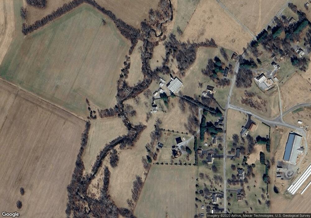
Map
Nearby Homes
- 13407 Rhodes Ct
- 12530 Ashton Rd
- 0 Ashton Rd
- 11737 Ashton Rd
- 11705 Ashton Rd
- 12343 Big Spring Rd
- 20 N Martin St
- 12720 Spickler Rd
- 13174 Gruber Rd
- 12429 Angle Dr
- 12074 Kemps Mill Rd
- 12401 Cedar Ridge Rd
- 13013 Draper Rd
- 1-27 Boo Blvd
- Block 7 Lot 30 & 31 Campfire Blvd
- Block 1 Lot 35 Boo Blvd
- Block 11 Lot 11 Hot Springs Ave
- 13039 Spickler Rd
- Block 1 Lot 36 Boo Blvd
- Block 8 Lot 32 & 33 Ice Cream St
- 13432 Philadelphia Ln
- 12140 Saint Paul Rd
- 13410 Philadelphia Ln
- 13414 Philadelphia Ln
- 13404 Philadelphia Ln
- 13723 Seibert Ln
- 12100 Saint Paul Rd
- 13731 Seibert Ln
- 12104 Saint Paul Rd
- 12108 Saint Paul Rd
- 12040 Saint Paul Rd
- 0 St Paul Rd Unit WA7811817
- 12034 Saint Paul Rd
- 12024 Saint Paul Rd
- 12305 Ashton Rd
- 12303 Ashton Rd
- St Paul Rd
- 13802 Miles Farm Ln
- 12247 Ashton Rd
- 13803 Miles Farm Ln