13716 Rowen Dr Camden, MI 49232
Estimated Value: $104,876 - $365,000
--
Bed
--
Bath
--
Sq Ft
0.25
Acres
About This Home
This home is located at 13716 Rowen Dr, Camden, MI 49232 and is currently estimated at $198,959. 13716 Rowen Dr is a home with nearby schools including Camden-Frontier K-8 School and Camden-Frontier High School.
Ownership History
Date
Name
Owned For
Owner Type
Purchase Details
Closed on
Sep 25, 2023
Sold by
Caldwell Scott E and Caldwell Pamela L
Bought by
Caldwell Izaac S and Caldwell Pamela L
Current Estimated Value
Purchase Details
Closed on
Sep 25, 2020
Sold by
Welden Richard Andrew
Bought by
Caldwell Scott E and Caldwell Pamela L
Purchase Details
Closed on
Sep 12, 2007
Sold by
Leininger Gary A
Bought by
Welden Richard Andrew
Purchase Details
Closed on
Sep 17, 2002
Sold by
Hillsdale Co Treas and Foreclose Unit
Bought by
Brown Lupe
Purchase Details
Closed on
Apr 18, 1984
Sold by
Eberline Marvin J
Bought by
Banko George M and Banko Lillian M
Purchase Details
Closed on
Dec 4, 1979
Bought by
Eberline Marvin J
Create a Home Valuation Report for This Property
The Home Valuation Report is an in-depth analysis detailing your home's value as well as a comparison with similar homes in the area
Home Values in the Area
Average Home Value in this Area
Purchase History
| Date | Buyer | Sale Price | Title Company |
|---|---|---|---|
| Caldwell Izaac S | -- | None Listed On Document | |
| Caldwell Scott E | $2,000 | None Available | |
| Welden Richard Andrew | $679 | None Available | |
| Brown Lupe | $500 | -- | |
| Banko George M | $1,000 | -- | |
| Eberline Marvin J | $2,700 | -- |
Source: Public Records
Tax History Compared to Growth
Tax History
| Year | Tax Paid | Tax Assessment Tax Assessment Total Assessment is a certain percentage of the fair market value that is determined by local assessors to be the total taxable value of land and additions on the property. | Land | Improvement |
|---|---|---|---|---|
| 2025 | $272 | $14,100 | $0 | $0 |
| 2024 | $132 | $14,100 | $0 | $0 |
| 2023 | $126 | $15,500 | $0 | $0 |
| 2022 | $259 | $11,300 | $0 | $0 |
| 2021 | $25 | $600 | $0 | $0 |
| 2020 | $8 | $200 | $0 | $0 |
| 2019 | $44 | $1,300 | $0 | $0 |
| 2018 | $45 | $1,300 | $0 | $0 |
| 2017 | $42 | $1,710 | $0 | $0 |
| 2016 | $44 | $3,640 | $0 | $0 |
| 2015 | $11 | $3,640 | $0 | $0 |
| 2013 | $11 | $1,570 | $0 | $0 |
| 2012 | $10 | $1,570 | $0 | $0 |
Source: Public Records
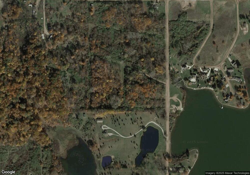
Map
Nearby Homes
- 13857 E Diane Dr
- 13791 E Diane Dr
- 14401 Woodbridge Rd
- 14600 W Diane Dr
- 13551 Hillsdale Rd
- 14934 Heather Ct
- 623-624 Yuma Trail
- 11794 Clark Rd
- 0 W Territorial Rd Unit 25043960
- 362 Wasco Trail
- 8800 W Territorial Rd
- 15791 Rice Rd
- 199 Shoshone Trail
- 988-989 Seneca Dr
- 207 Modoc Trail
- 155 Navajo Trail
- 9791 S Hillsdale Rd
- 5-50 County Rd S
- 213 Navajo Trail
- 14165 Crampton Rd
- 13590 Woodbridge Rd
- 13660 Woodbridge Rd
- 13636 Woodbridge Rd
- 13612 Woodbridge Rd
- 13747 Woodbridge Rd
- 13647 Woodbridge Rd
- 13618 Monte Carlo Dr
- 13642 Monte Carlo Dr
- 1997 Horn Dr
- 1997 Genoa Dr
- 2101 W Cellars Rd
- 13654 Monte Carlo Dr
- 2005 W Cellars Rd
- 13666 Monte Carlo Dr
- 13609 Monte Carlo Dr
- 1990 Scott Dr
- 13678 Monte Carlo Dr
- 1980 Scott Dr
- 13791 Woodbridge Rd
- 13702 Rapallo Ct