13719 N Old Wire Rd Garfield, AR 72732
Estimated Value: $491,000 - $1,097,000
--
Bed
1
Bath
3,869
Sq Ft
$179/Sq Ft
Est. Value
About This Home
This home is located at 13719 N Old Wire Rd, Garfield, AR 72732 and is currently estimated at $693,680, approximately $179 per square foot. 13719 N Old Wire Rd is a home located in Benton County with nearby schools including Garfield Elementary School, Lingle Middle School, and Rogers Heritage High School.
Ownership History
Date
Name
Owned For
Owner Type
Purchase Details
Closed on
Apr 27, 2024
Sold by
Rounds Jamie D and Rounds Robin G
Bought by
Sams Jacob and Sams Jordin
Current Estimated Value
Purchase Details
Closed on
Jun 1, 2020
Sold by
Ford Family Real Estate Trust
Bought by
Rounds Jamie D and Rounds Robin G
Home Financials for this Owner
Home Financials are based on the most recent Mortgage that was taken out on this home.
Original Mortgage
$140,000
Interest Rate
3.3%
Mortgage Type
New Conventional
Purchase Details
Closed on
Apr 25, 2020
Sold by
Ford Family Real Estate Trust and Birchfield Patricia A
Bought by
Rounds Jamie D and Rounds Robin G
Home Financials for this Owner
Home Financials are based on the most recent Mortgage that was taken out on this home.
Original Mortgage
$140,000
Interest Rate
3.3%
Mortgage Type
New Conventional
Purchase Details
Closed on
Jul 15, 1977
Bought by
Ford
Create a Home Valuation Report for This Property
The Home Valuation Report is an in-depth analysis detailing your home's value as well as a comparison with similar homes in the area
Home Values in the Area
Average Home Value in this Area
Purchase History
| Date | Buyer | Sale Price | Title Company |
|---|---|---|---|
| Sams Jacob | -- | None Listed On Document | |
| Rounds Jamie D | -- | New Title Company Name | |
| Rounds Jamie D | -- | New Title Company Name | |
| Ford | -- | -- |
Source: Public Records
Mortgage History
| Date | Status | Borrower | Loan Amount |
|---|---|---|---|
| Previous Owner | Rounds Jamie D | $140,000 | |
| Previous Owner | Rounds Jamie D | $140,000 |
Source: Public Records
Tax History Compared to Growth
Tax History
| Year | Tax Paid | Tax Assessment Tax Assessment Total Assessment is a certain percentage of the fair market value that is determined by local assessors to be the total taxable value of land and additions on the property. | Land | Improvement |
|---|---|---|---|---|
| 2025 | $3,786 | $99,344 | $6,012 | $93,332 |
| 2024 | $3,273 | $99,344 | $6,012 | $93,332 |
| 2023 | $3,267 | $67,920 | $10,400 | $57,520 |
| 2022 | $3,839 | $67,920 | $10,400 | $57,520 |
| 2021 | $3,620 | $67,920 | $10,400 | $57,520 |
| 2020 | $2,398 | $40,650 | $6,000 | $34,650 |
| 2019 | $1,749 | $30,990 | $6,000 | $24,990 |
| 2018 | $1,749 | $30,990 | $6,000 | $24,990 |
| 2017 | $1,441 | $30,990 | $6,000 | $24,990 |
| 2016 | $1,441 | $30,990 | $6,000 | $24,990 |
| 2015 | $1,174 | $24,410 | $3,600 | $20,810 |
| 2014 | $1,324 | $24,410 | $3,600 | $20,810 |
Source: Public Records
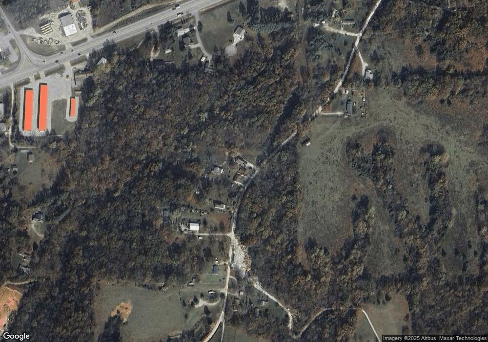
Map
Nearby Homes
- 15047 U S 62
- 13610 Degraff Rd
- 15072 White Fawn Dr
- 15049 White Fawn Dr
- 12526 Avoca Hollow Dr
- 15992 Boundary Line Rd
- 15112 Mills Terrace
- 4.7 acres(Lot 1) of Boundary Line Rd
- 3 Acres (Lot 3) 1610 Boundary Line Rd
- 5 acres (Lot 5) 1610 Boundary Line Rd
- Tract 3 Sugar Creek Rd
- 13482 Sugar Creek Rd
- 13585 Andy Jack Rd
- 12092 Guyll Ridge Rd
- 469 Sheppard Rd
- 969 Rader Rd
- TBD Rader Rd
- 0 Rader Rd Unit 1290308
- 13124 Scenic Dr
- 329 Rader Rd
- 13720 N Old Wire Rd
- 13673 N Old Wire Rd
- 13750 N Old Wire Rd
- 13637 N Old Wire Rd
- 13585 N Old Wire Rd
- 13841 Latricia Ln
- Lot 5 E Latricia Dr
- Lot 7 E Latricia Dr
- 13841 Latricia Ln
- 13772 N Old Wire Rd
- Lot 6 E Latricia Dr
- Lot 8 E Latricia Dr
- 13776 N Old Wire Rd
- 13552 N Old Wire Rd
- 13565 N Old Wire Rd
- 13848 Latricia Ln
- 0 E Highway 62 Unit 1033133
- 13813 Latricia Ln
- 13813 Latricia Ln
- 13800 Latricia Ln