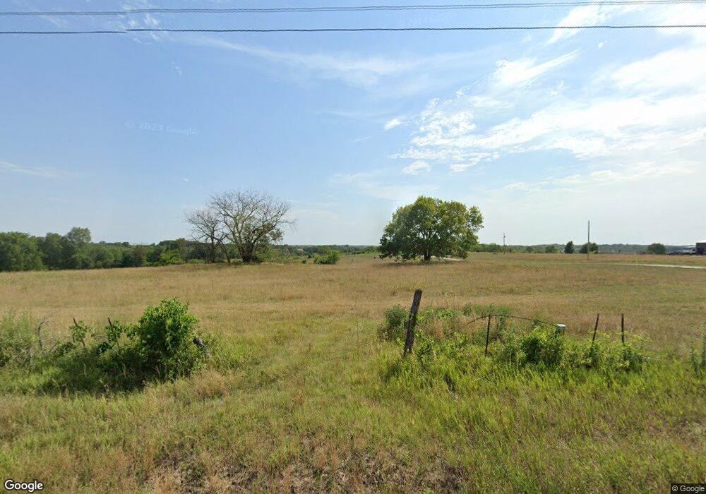
13720 E Hwy 39 Stockton, MO 65785
Estimated Value: $51,017
--
Bed
--
Bath
--
Sq Ft
16.23
Acres
About This Home
This home is located at 13720 E Hwy 39, Stockton, MO 65785 and is currently priced at $51,017. 13720 E Hwy 39 is a home located in Cedar County with nearby schools including Stockton Elementary School, Stockton Middle School, and Stockton High School.
Ownership History
Date
Name
Owned For
Owner Type
Purchase Details
Closed on
Sep 24, 2021
Sold by
Rdt Grains Llc
Bought by
Akins Shawn and Akins Kristy
Current Estimated Value
Home Financials for this Owner
Home Financials are based on the most recent Mortgage that was taken out on this home.
Original Mortgage
$36,000
Outstanding Balance
$32,757
Interest Rate
2.8%
Mortgage Type
New Conventional
Purchase Details
Closed on
Aug 3, 2021
Sold by
Rdt Grains Llc
Bought by
Akins Shawn and Akins Kristy
Home Financials for this Owner
Home Financials are based on the most recent Mortgage that was taken out on this home.
Original Mortgage
$36,000
Outstanding Balance
$32,757
Interest Rate
2.8%
Mortgage Type
New Conventional
Purchase Details
Closed on
Jun 15, 2021
Sold by
Rdt Grains Llc
Bought by
Johnson Daniel M and Johnson Victoria S
Create a Home Valuation Report for This Property
The Home Valuation Report is an in-depth analysis detailing your home's value as well as a comparison with similar homes in the area
Home Values in the Area
Average Home Value in this Area
Purchase History
| Date | Buyer | Sale Price | Title Company |
|---|---|---|---|
| Akins Shawn | -- | None Listed On Document | |
| Akins Shawn | -- | None Listed On Document | |
| Johnson Daniel M | -- | None Available | |
| Rdt Grains Llc | -- | None Available |
Source: Public Records
Mortgage History
| Date | Status | Borrower | Loan Amount |
|---|---|---|---|
| Open | Akins Shawn | $36,000 |
Source: Public Records
Tax History Compared to Growth
Tax History
| Year | Tax Paid | Tax Assessment Tax Assessment Total Assessment is a certain percentage of the fair market value that is determined by local assessors to be the total taxable value of land and additions on the property. | Land | Improvement |
|---|---|---|---|---|
| 2025 | $60 | $1,360 | $120 | $1,240 |
| 2024 | $60 | $1,360 | $120 | $1,240 |
| 2023 | $59 | $1,350 | $0 | $0 |
| 2022 | $59 | $1,350 | $0 | $0 |
| 2021 | $68 | $1,610 | $0 | $0 |
| 2020 | $68 | $1,550 | $0 | $0 |
| 2019 | $66 | $1,550 | $0 | $0 |
| 2018 | $67 | $1,580 | $0 | $0 |
| 2017 | -- | $1,580 | $0 | $0 |
Source: Public Records
Map
Nearby Homes
- 13650 State Highway 39
- 708 West St
- 315 Skyline Dr
- 608 N Terrace Ln
- 003 E 1400 Rd
- 602 W Highway 32
- 602 W 32 Hwy
- 12175 S B Hwy
- 21772 State Highway 32
- 11998 State Hwy 32
- 000 State Highway 32
- 008 State Highway 32
- 007 State Highway 32
- 006 State Highway 32
- 11998 E Highway 32
- 407 S High St
- 212 East St
- 204 N Blake
- 111 E Locust St
- 10665 S 1275 Rd
- 13686 E 1250 Rd
- 13760 E 1250 Rd
- 13865 State Highway 39
- 13540 E 1250 Rd
- 39 E Hwy Randy Walker 13040 39 Katie Hwy S
- 13985 E Highway 39
- 13999 E Highway 39 Hwy N
- 12327 S Highway 39
- 12350 S 1325 Rd
- 001 S 1425 Rd
- 13430 S Highway 39
- 9540 S 1325 Rd
- 12260 S 1325 Rd
- 12600 S 1325 Rd
- 12610 S 1425 Rd
- 13200 S Highway 39
- 11761 S Highway 39
- 1117 S Ward St
- 1105 S Ward St