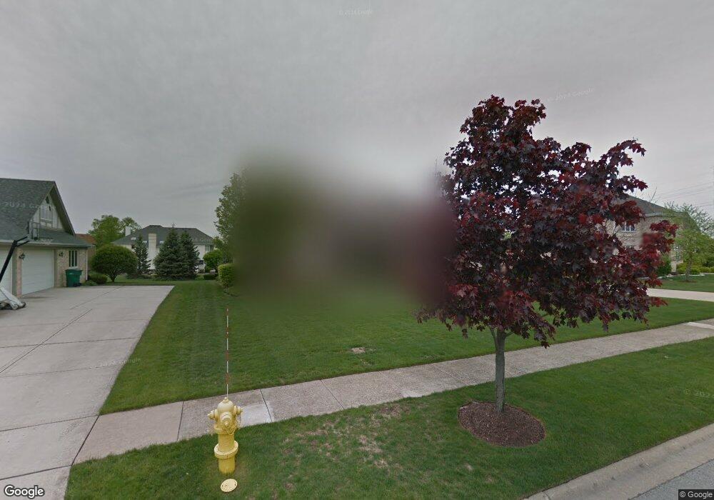
13720 Mayflower Ln Orland Park, IL 60467
Sandburg NeighborhoodEstimated Value: $678,000 - $778,767
4
Beds
4
Baths
3,508
Sq Ft
$206/Sq Ft
Est. Value
About This Home
This home is located at 13720 Mayflower Ln, Orland Park, IL 60467 and is currently estimated at $721,442, approximately $205 per square foot. 13720 Mayflower Ln is a home located in Cook County with nearby schools including Orland Park Elementary School, High Point Elementary School, and Orland Jr High School.
Ownership History
Date
Name
Owned For
Owner Type
Purchase Details
Closed on
May 23, 2024
Sold by
Louis T Mallavarapu Trust and Chandra E Mallavarapu Trust
Bought by
Chandra E Mallavarapu Trust and Mallavarapu
Current Estimated Value
Purchase Details
Closed on
Jul 1, 2017
Sold by
Mallavarapu Louis T and Mallavarapu Chandra F
Bought by
Mallavarapu Louis T and Louis T Mallavarapu Trust
Create a Home Valuation Report for This Property
The Home Valuation Report is an in-depth analysis detailing your home's value as well as a comparison with similar homes in the area
Home Values in the Area
Average Home Value in this Area
Purchase History
| Date | Buyer | Sale Price | Title Company |
|---|---|---|---|
| Chandra E Mallavarapu Trust | -- | None Listed On Document | |
| Mallavarapu Louis T | -- | None Available |
Source: Public Records
Tax History Compared to Growth
Tax History
| Year | Tax Paid | Tax Assessment Tax Assessment Total Assessment is a certain percentage of the fair market value that is determined by local assessors to be the total taxable value of land and additions on the property. | Land | Improvement |
|---|---|---|---|---|
| 2024 | $15,024 | $66,000 | $13,860 | $52,140 |
| 2023 | $11,261 | $66,000 | $13,860 | $52,140 |
| 2022 | $11,261 | $43,748 | $12,012 | $31,736 |
| 2021 | $10,922 | $43,748 | $12,012 | $31,736 |
| 2020 | $10,627 | $43,748 | $12,012 | $31,736 |
| 2019 | $11,122 | $46,694 | $11,088 | $35,606 |
| 2018 | $10,815 | $46,694 | $11,088 | $35,606 |
| 2017 | $10,598 | $46,694 | $11,088 | $35,606 |
| 2016 | $10,158 | $40,684 | $10,164 | $30,520 |
| 2015 | $10,518 | $40,684 | $10,164 | $30,520 |
| 2014 | $11,084 | $43,280 | $10,164 | $33,116 |
| 2013 | $11,399 | $47,103 | $10,164 | $36,939 |
Source: Public Records
Map
Nearby Homes
- 14000 108th Ave
- 14031 Norwich Ln Unit 301
- 10801 Doyle Ct
- 14137 108th Ave
- 11257 Melrose Ct
- 13962 Springview Ln
- 13951 Green Valley Dr
- 13810 Logan Dr
- 10 Country Manor Ln
- 13344 S Stephen Dr
- Hampton Plan at Brittany Glen
- Barrington Plan at Brittany Glen
- Augusta Plan at Brittany Glen
- Cape Cod Plan at Brittany Glen
- Richmond Plan at Brittany Glen
- 11132 Alexis Ln
- 11708 139th St
- 14340 108th Ave
- 13766 Mccabe Dr
- 11010 W 131st St
- 13800 Mayflower Ln
- 13710 Mayflower Ln
- 13729 Wilrose Ct
- 13719 Wilrose Ct
- 13820 Mayflower Ln
- 13709 Wilrose Ct
- 13741 Mayflower Ln
- 13731 Mayflower Ln
- 13739 Wilrose Ct
- 13801 Mayflower Ln
- 13711 Mayflower Ln
- 13721 Mayflower Ln
- 11024 Woodstock Dr
- 11022 Mayflower Ln
- 11034 Woodstock Dr
- 11012 Mayflower Ln
- 13821 Mayflower Ln
- 11042 Mayflower Ln
- 13749 Wilrose Ct
