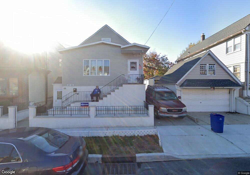
13722 95th St Ozone Park, NY 11417
Ozone Park NeighborhoodEstimated Value: $936,000 - $1,259,000
--
Bed
--
Bath
2,645
Sq Ft
$412/Sq Ft
Est. Value
About This Home
This home is located at 13722 95th St, Ozone Park, NY 11417 and is currently estimated at $1,089,718, approximately $411 per square foot. 13722 95th St is a home located in Queens County with nearby schools including P.S./M.S. 146 Howard Beach, Robert H. Goddard High School, and John Adams High School.
Ownership History
Date
Name
Owned For
Owner Type
Purchase Details
Closed on
Oct 28, 2023
Sold by
Desena Frank
Bought by
Desena Deborah and The Desena Family Irrevocable Trust
Current Estimated Value
Purchase Details
Closed on
Jan 9, 2015
Sold by
137-22 95Th Street Llc
Bought by
Fitch Mcdermott Marlene
Purchase Details
Closed on
Aug 27, 2013
Sold by
Estate Of Antoinette Bigham and Tortora
Bought by
137-22 95Th Street Llc
Create a Home Valuation Report for This Property
The Home Valuation Report is an in-depth analysis detailing your home's value as well as a comparison with similar homes in the area
Home Values in the Area
Average Home Value in this Area
Purchase History
| Date | Buyer | Sale Price | Title Company |
|---|---|---|---|
| Desena Deborah | -- | -- | |
| Desena Frank | -- | -- | |
| Desena Deborah | -- | -- | |
| Desena Frank | -- | -- | |
| Fitch Mcdermott Marlene | $639,900 | -- | |
| Fitch Mcdermott Marlene | $639,900 | -- | |
| 137-22 95Th Street Llc | $270,000 | -- | |
| 137-22 95Th Street Llc | $270,000 | -- |
Source: Public Records
Tax History Compared to Growth
Tax History
| Year | Tax Paid | Tax Assessment Tax Assessment Total Assessment is a certain percentage of the fair market value that is determined by local assessors to be the total taxable value of land and additions on the property. | Land | Improvement |
|---|---|---|---|---|
| 2025 | $7,062 | $37,271 | $8,805 | $28,466 |
| 2024 | $7,062 | $35,161 | $8,008 | $27,153 |
| 2023 | $7,062 | $35,161 | $7,861 | $27,300 |
| 2022 | $7,087 | $70,200 | $16,740 | $53,460 |
| 2021 | $2,805 | $58,200 | $16,740 | $41,460 |
| 2020 | $2,610 | $63,960 | $16,740 | $47,220 |
| 2019 | $1,326 | $59,220 | $16,740 | $42,480 |
| 2018 | $2,327 | $29,301 | $9,175 | $20,126 |
| 2017 | $4,989 | $29,100 | $11,001 | $18,099 |
| 2016 | $5,519 | $29,100 | $11,001 | $18,099 |
| 2015 | $2,777 | $26,204 | $13,516 | $12,688 |
| 2014 | $2,777 | $22,118 | $12,354 | $9,764 |
Source: Public Records
Map
Nearby Homes
- 9407 Pitkin Ave
- 9515 Pitkin Ave
- 96-15 149th Ave
- 95-18 Linden Blvd
- 9003 Albert Rd
- 96-36 149th Ave
- 94- 24 Magnolia Ct Unit 3A
- 150-19 95th St Unit 3
- 13723 Lafayette St
- 9704 Pitkin Ave
- 96-06 134th Rd
- 150-06 Hawtree St
- 13319 Crossbay Blvd
- 90-28 Pitkin Ave Unit 1,2 and 3
- 9439 134th Ave
- 91-25 Gold Rd
- 150-45 Centerville St Unit 3B
- 9149 153rd Ave Unit 123
- 89- 25 151st Ave Unit 4S
- 98-29 Albert Rd