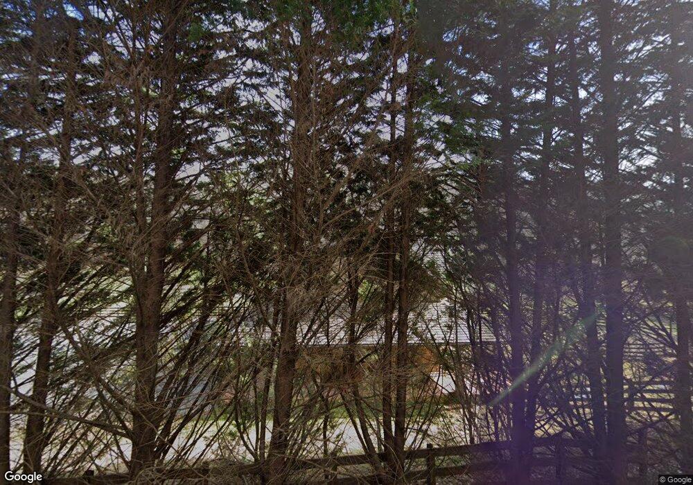
13724 Highway 197 N Clarkesville, GA 30523
Estimated Value: $516,000 - $2,380,735
1
Bed
2
Baths
1,728
Sq Ft
$838/Sq Ft
Est. Value
About This Home
This home is located at 13724 Highway 197 N, Clarkesville, GA 30523 and is currently estimated at $1,448,368, approximately $838 per square foot. 13724 Highway 197 N is a home located in Habersham County with nearby schools including Clarkesville Elementary School, North Habersham Middle School, and Habersham Success Academy.
Ownership History
Date
Name
Owned For
Owner Type
Purchase Details
Closed on
Jan 20, 2016
Sold by
Shope Jeffery Dale
Bought by
Annexstad Farm Llc
Current Estimated Value
Purchase Details
Closed on
May 4, 2015
Sold by
Dale Shope Investments
Bought by
Shope Jeffery Dale
Home Financials for this Owner
Home Financials are based on the most recent Mortgage that was taken out on this home.
Original Mortgage
$665,000
Interest Rate
3.8%
Mortgage Type
New Conventional
Create a Home Valuation Report for This Property
The Home Valuation Report is an in-depth analysis detailing your home's value as well as a comparison with similar homes in the area
Home Values in the Area
Average Home Value in this Area
Purchase History
| Date | Buyer | Sale Price | Title Company |
|---|---|---|---|
| Annexstad Farm Llc | $1,437,500 | -- | |
| Shope Jeffery Dale | -- | -- |
Source: Public Records
Mortgage History
| Date | Status | Borrower | Loan Amount |
|---|---|---|---|
| Previous Owner | Shope Jeffery Dale | $665,000 |
Source: Public Records
Tax History Compared to Growth
Tax History
| Year | Tax Paid | Tax Assessment Tax Assessment Total Assessment is a certain percentage of the fair market value that is determined by local assessors to be the total taxable value of land and additions on the property. | Land | Improvement |
|---|---|---|---|---|
| 2025 | $9,166 | $824,467 | $469,775 | $354,692 |
| 2024 | -- | $724,660 | $303,408 | $421,252 |
| 2023 | $9,563 | $661,888 | $303,408 | $358,480 |
| 2022 | $8,849 | $592,460 | $276,408 | $316,052 |
| 2021 | $0 | $576,676 | $276,408 | $300,268 |
| 2020 | $7,770 | $543,200 | $276,408 | $266,792 |
| 2019 | $7,723 | $541,796 | $276,408 | $265,388 |
| 2018 | $7,663 | $541,796 | $276,408 | $265,388 |
| 2017 | $7,223 | $524,532 | $276,408 | $248,124 |
| 2016 | $2,109 | $202,220 | $211,044 | $60,628 |
| 2015 | $7,001 | $679,180 | $211,044 | $60,628 |
| 2014 | -- | $679,180 | $211,044 | $60,628 |
| 2013 | -- | $271,672 | $211,044 | $60,628 |
Source: Public Records
Map
Nearby Homes
- 3.07 ACRES Ann's Aly
- 170 Henry Pittman Rd
- 0 Goshen Creek Rd Unit 10648571
- 915 Meadowview Ridge
- LOT 6 Meadow View Ridge
- 1010 Meadowview Ridge
- 701 Georgia 356
- 15756 N Hwy 197
- 220 Brookwood Ln
- 0 Benfield Ln Unit 10655737
- 0 Soque Falls Circle Lots 34 & 35
- 0 Soque Falls Circle Lot 35
- 4960 Laurel Lodge #41 Rd
- 4960 Laurel Lodge Rd Unit LOT 44
- 4960 Laurel Lodge Rd Unit 1
- 4960 Laurel Lodge Rd Unit 46
- 4960 Laurel Lodge Rd Unit LOT 29
- 4960 Laurel Lodge Rd Unit LOT 3
- 4960 Laurel Lodge Rd Unit LOT 21
- 4960 Laurel Lodge Rd Unit LOT 18
- 13729 Highway 197 N
- 13712 Highway 197 N
- 227 Doe Heights
- 136 Crystal Goldmine Dr
- 125 Doe Heights
- 355 Doe Heights
- 237 Doe Heights
- 13700 Highway 197 N
- 0 Doe Heights NE Unit TRK 3 2849964
- 13664 Highway 197 N
- 0 Doe Heights Unit 307550
- 0 Doe Heights Unit 8988988
- 0 Doe Heights Unit 7150242
- 0 Doe Heights Unit 7182301
- 0 Doe Heights Unit 7413444
- 262 Doe Heights
- 13651 Highway 197 N
- 13655 Highway 197 N
- 122 Doe Heights
- 13608 Highway 197 N
