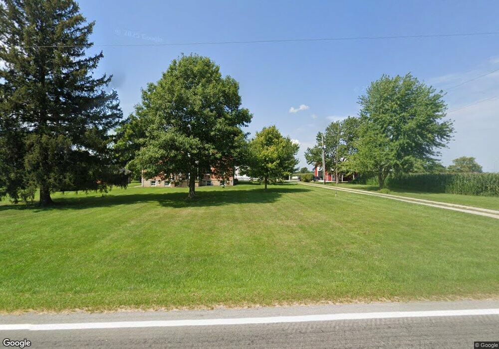
13725 State Route 292 Kenton, OH 43326
Estimated Value: $348,000 - $514,000
4
Beds
3
Baths
4,136
Sq Ft
$107/Sq Ft
Est. Value
About This Home
This home is located at 13725 State Route 292, Kenton, OH 43326 and is currently estimated at $444,575, approximately $107 per square foot. 13725 State Route 292 is a home located in Hardin County with nearby schools including Kenton Elementary School, Kenton Middle School, and Kenton High School.
Ownership History
Date
Name
Owned For
Owner Type
Purchase Details
Closed on
Mar 12, 2020
Sold by
Michelle Fulton
Bought by
Fulton Jason W
Current Estimated Value
Home Financials for this Owner
Home Financials are based on the most recent Mortgage that was taken out on this home.
Original Mortgage
$127,000
Interest Rate
3.5%
Mortgage Type
Unknown
Purchase Details
Closed on
Jun 28, 2010
Sold by
Fulton Jack W and Fulton Diane E
Bought by
Fulton Jason W and Michelle Fulton L
Home Financials for this Owner
Home Financials are based on the most recent Mortgage that was taken out on this home.
Original Mortgage
$193,000
Interest Rate
4.86%
Mortgage Type
Future Advance Clause Open End Mortgage
Create a Home Valuation Report for This Property
The Home Valuation Report is an in-depth analysis detailing your home's value as well as a comparison with similar homes in the area
Purchase History
| Date | Buyer | Sale Price | Title Company |
|---|---|---|---|
| Fulton Jason W | -- | None Available | |
| Fulton Jason W | $175,000 | None Available |
Source: Public Records
Mortgage History
| Date | Status | Borrower | Loan Amount |
|---|---|---|---|
| Closed | Fulton Jason W | $127,000 | |
| Closed | Fulton Jason W | $193,000 |
Source: Public Records
Tax History
| Year | Tax Paid | Tax Assessment Tax Assessment Total Assessment is a certain percentage of the fair market value that is determined by local assessors to be the total taxable value of land and additions on the property. | Land | Improvement |
|---|---|---|---|---|
| 2024 | $5,588 | $131,510 | $16,620 | $114,890 |
| 2023 | $5,624 | $131,510 | $16,620 | $114,890 |
| 2022 | $4,795 | $106,070 | $10,570 | $95,500 |
| 2021 | $4,492 | $99,080 | $10,570 | $88,510 |
| 2020 | $3,881 | $99,080 | $10,570 | $88,510 |
| 2019 | $3,330 | $88,450 | $14,230 | $74,220 |
| 2018 | $3,371 | $88,450 | $14,230 | $74,220 |
| 2017 | $3,322 | $88,450 | $14,230 | $74,220 |
| 2016 | $2,516 | $69,970 | $16,560 | $53,410 |
| 2015 | $2,446 | $69,970 | $16,560 | $53,410 |
| 2014 | $2,554 | $70,160 | $16,750 | $53,410 |
| 2013 | $2,260 | $59,570 | $9,390 | $50,180 |
Source: Public Records
Map
Nearby Homes
- 13450 State Route 292
- 703 S Detroit St
- 639 S Main St
- 501 East St
- 510 Decatur St
- 508 Decatur St
- 354 S Barron St
- 820 King St
- 226 S Wayne St
- 121 S High St
- 39 Grape St
- 79 Broadway St
- 89 Broadway St
- 420 E Carrol St
- 405 E Carroll St
- 405 E Carrol St Unit 405 1/2
- 11896 Parklane Dr
- 619 E North St
- 11925 County Road 175
- 509 E North St
- 13725 State Route 292
- 13720 State Route 292
- 13770 State Route 292
- 13929 State Route 292
- 13890 State Route 292
- 13479 State Route 292
- 14052 State Route 292
- 13543 State Route 31
- 13515 State Route 31
- 13543 Ohio 31
- 13515 Ohio 31
- 13453 Sr
- 13453 State Route 31
- 13927 State Route 31
- 13265 State Route 292
- 14155 State Route 292
- 13482 State Route 31
- 13908 State Route 31
- 13361 St Route
Your Personal Tour Guide
Ask me questions while you tour the home.