13726 New Windsor Rd Union Bridge, MD 21791
Estimated Value: $737,000 - $1,298,000
3
Beds
2
Baths
4,228
Sq Ft
$262/Sq Ft
Est. Value
About This Home
This home is located at 13726 New Windsor Rd, Union Bridge, MD 21791 and is currently estimated at $1,109,188, approximately $262 per square foot. 13726 New Windsor Rd is a home located in Frederick County with nearby schools including Liberty Elementary School, New Market Middle School, and Linganore High School.
Ownership History
Date
Name
Owned For
Owner Type
Purchase Details
Closed on
Sep 3, 2010
Sold by
Asplundh Edward K and Asplundh Gwendolyn M
Bought by
Bright Steven M and Lusk Rebekah D
Current Estimated Value
Purchase Details
Closed on
May 26, 2000
Sold by
Tubbs Carey V
Bought by
Asplundh Edward K and Asplundh Gwendolyn M
Purchase Details
Closed on
Oct 16, 1998
Sold by
Haslup Louis P and Haslup Suzanne
Bought by
Tubbs Carey V
Create a Home Valuation Report for This Property
The Home Valuation Report is an in-depth analysis detailing your home's value as well as a comparison with similar homes in the area
Home Values in the Area
Average Home Value in this Area
Purchase History
| Date | Buyer | Sale Price | Title Company |
|---|---|---|---|
| Bright Steven M | $700,000 | -- | |
| Asplundh Edward K | $485,000 | -- | |
| Tubbs Carey V | $420,000 | -- |
Source: Public Records
Tax History Compared to Growth
Tax History
| Year | Tax Paid | Tax Assessment Tax Assessment Total Assessment is a certain percentage of the fair market value that is determined by local assessors to be the total taxable value of land and additions on the property. | Land | Improvement |
|---|---|---|---|---|
| 2025 | $7,349 | $745,900 | $160,100 | $585,800 |
| 2024 | $7,349 | $702,833 | $0 | $0 |
| 2023 | $6,467 | $659,767 | $0 | $0 |
| 2022 | $3,996 | $438,600 | $115,100 | $323,500 |
| 2021 | $3,823 | $431,133 | $0 | $0 |
| 2020 | $3,823 | $423,667 | $0 | $0 |
| 2019 | $3,784 | $416,200 | $105,100 | $311,100 |
| 2018 | $4,145 | $416,200 | $105,100 | $311,100 |
| 2017 | $4,436 | $416,200 | $0 | $0 |
| 2016 | $3,417 | $416,200 | $0 | $0 |
| 2015 | $3,417 | $394,000 | $0 | $0 |
| 2014 | $3,417 | $371,800 | $0 | $0 |
Source: Public Records
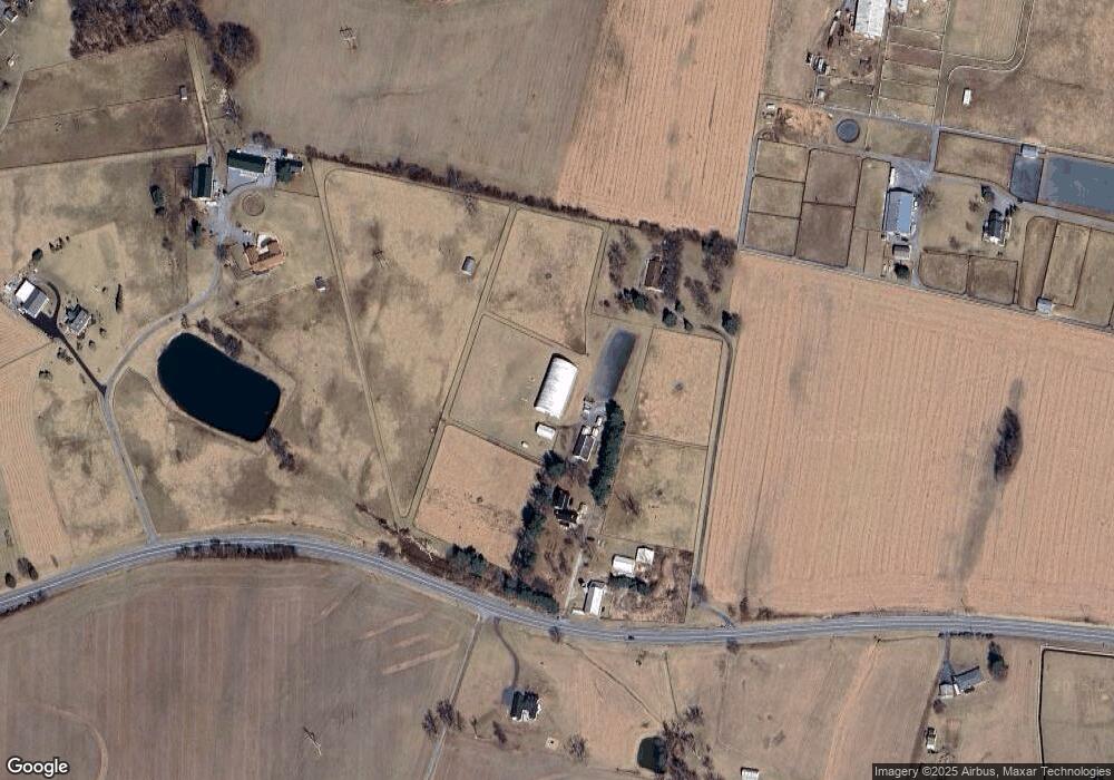
Map
Nearby Homes
- 0 Keys Chapel Rd Unit MDFR2040360
- 9522 Bessie Clemson Rd
- 13201 Nittany Ct
- 9630 B Clemsonville Rd
- 10216 Fountain School Rd
- 14695 Oak Orchard Rd
- 8429 Woodville Rd
- 14901 New Windsor Rd
- 14958 New Windsor Rd
- 15030 New Windsor Rd
- 4205 Sams Creek Rd
- 12309 Cracked Bell Ct
- 12061 & 12059 Main St
- 3501 Sams Creek Rd
- 11780 Green Valley Rd
- 11940 Main St
- 15602 Wildrose Ct
- 1912 Old New Windsor Rd
- 3720 Buffalo Rd
- 11908 Croyden Ct
- 13746 New Windsor Rd
- 13721 New Windsor Rd
- 13620A New Windsor Rd
- 9630 Clemsonville Rd
- 9630 Clemsonville Rd
- 9630 Clemsonville Rd
- 13610 New Windsor Rd
- 13614 New Windsor Rd
- 9630 B Clemsonville Rd
- 13620 Coppermine Rd
- 9545 Keys Chapel Rd
- 13825 New Windsor Rd
- 9567 Keys Chapel Rd
- 9549 Keys Chapel Rd
- 9496 Clemsonville Rd
- 9532 Keys Chapel Rd
- 9492 Clemsonville Rd
- 9602 Clemsonville Rd
- 0 Keys Chapel Rd Unit MDFR190688
- 0 Keys Chapel Rd