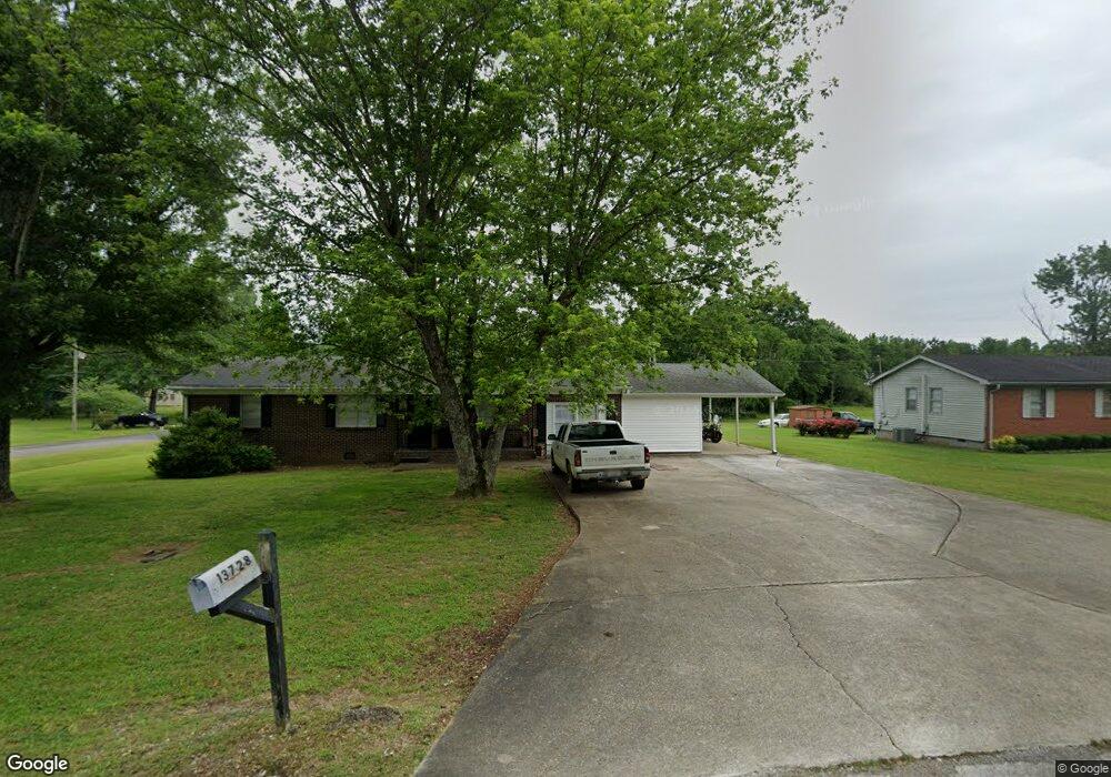
13728 Dart Cir Athens, AL 35611
Coxey-Lawngate NeighborhoodEstimated Value: $212,000 - $300,000
4
Beds
2
Baths
1,950
Sq Ft
$123/Sq Ft
Est. Value
About This Home
This home is located at 13728 Dart Cir, Athens, AL 35611 and is currently estimated at $240,582, approximately $123 per square foot. 13728 Dart Cir is a home located in Limestone County with nearby schools including Tanner Elementary School and Tanner High School.
Ownership History
Date
Name
Owned For
Owner Type
Purchase Details
Closed on
Feb 11, 2021
Sold by
Spartan Invest Llc
Bought by
Regnier David
Current Estimated Value
Home Financials for this Owner
Home Financials are based on the most recent Mortgage that was taken out on this home.
Original Mortgage
$116,800
Outstanding Balance
$104,226
Interest Rate
2.7%
Mortgage Type
New Conventional
Estimated Equity
$136,356
Purchase Details
Closed on
Sep 28, 2020
Sold by
Alavest Llc
Bought by
Spartan Invest Llc
Purchase Details
Closed on
Sep 4, 2018
Sold by
Shapiro & Ingle Llp
Bought by
Malone Roberta
Create a Home Valuation Report for This Property
The Home Valuation Report is an in-depth analysis detailing your home's value as well as a comparison with similar homes in the area
Home Values in the Area
Average Home Value in this Area
Purchase History
| Date | Buyer | Sale Price | Title Company |
|---|---|---|---|
| Regnier David | $146,000 | None Available | |
| Spartan Invest Llc | $77,500 | None Available | |
| Malone Roberta | $59,000 | None Available |
Source: Public Records
Mortgage History
| Date | Status | Borrower | Loan Amount |
|---|---|---|---|
| Open | Regnier David | $116,800 |
Source: Public Records
Tax History Compared to Growth
Tax History
| Year | Tax Paid | Tax Assessment Tax Assessment Total Assessment is a certain percentage of the fair market value that is determined by local assessors to be the total taxable value of land and additions on the property. | Land | Improvement |
|---|---|---|---|---|
| 2024 | $1,175 | $35,700 | $0 | $0 |
| 2023 | $1,101 | $33,060 | $0 | $0 |
| 2022 | $868 | $27,920 | $0 | $0 |
| 2021 | $668 | $21,260 | $0 | $0 |
| 2020 | $633 | $20,100 | $0 | $0 |
| 2019 | $611 | $19,380 | $0 | $0 |
| 2018 | $252 | $8,400 | $0 | $0 |
| 2017 | $0 | $9,700 | $0 | $0 |
| 2016 | $291 | $97,060 | $0 | $0 |
| 2015 | -- | $9,700 | $0 | $0 |
| 2014 | -- | $0 | $0 | $0 |
Source: Public Records
Map
Nearby Homes
- 16750 Albert Rd
- 4A Carter Rd
- 13020 Kenwood Dr
- 13013 Kenwood Dr
- 13060 Kenwood Dr
- 13133 Kenwood Dr
- 13055 Kenwood Dr
- 13100 Kenwood Dr
- 14552 Reid Rd
- 15546 Huntsville Brownsferry Rd
- 15685 Huntsville Brownsferry Rd
- 16553 Bama Rd
- 20630 Calcutta St
- 15100 York Ln
- 17320 Brownsferry Rd
- 17256 Ferry Rd
- 17309 Ferry Rd
- 17688 Brownsferry Rd
- 17281 Huntsville Brownsferry Rd
- 15111 Evans Rd
- 13708 Dart Cir
- 16562 Albert Rd
- 13711 Dart Cir
- 13731 Dart Cir
- 16543 Albert Rd
- 16527 Albert Rd
- 13690 Dart Cir
- 16580 Albert Rd
- 13693 Dart Cir
- 13672 Dart Cir
- 16583 Albert Rd
- 13677 Dart Cir
- 16598 Albert Rd
- 13652 Dart Cir
- 16599 Albert Rd
- 13659 Dart Cir
- 16475 Albert Rd
- 16618 Albert Rd
- 16615 Albert Rd
- 13634 Dart Cir