1373 Atkinson Bridge Rd Carnesville, GA 30521
Estimated Value: $129,865 - $324,000
About This Home
This home is located at 1373 Atkinson Bridge Rd, Carnesville, GA 30521 and is currently estimated at $224,216, approximately $179 per square foot. 1373 Atkinson Bridge Rd is a home located in Franklin County with nearby schools including Franklin County High School.
Ownership History
We collect this data history from publicly available records. To have your information removed, we recommend requesting removal directly through your county’s website.
Purchase Details
Purchase Details
Purchase Details
Purchase Details
Purchase Details
Purchase History
We collect this data history from publicly available records. To have your information removed, we recommend requesting removal directly through your county’s website.
| Date | Buyer | Sale Price | Title Company |
|---|---|---|---|
| -- | -- | ||
| -- | -- | ||
| -- | -- | ||
| $20,000 | -- | ||
| -- | -- | ||
| $23,000 | -- | ||
| $9,000 | -- |
Tax History
We collect this data history from publicly available records. To have your information removed, we recommend requesting removal directly through your county’s website.
| Year | Tax Paid | Tax Assessment Tax Assessment Total Assessment is a certain percentage of the fair market value that is determined by local assessors to be the total taxable value of land and additions on the property. | Land | Improvement |
|---|---|---|---|---|
| 2025 | $749 | $32,434 | $6,836 | $25,598 |
| 2024 | $663 | $27,850 | $2,734 | $25,116 |
| 2023 | $658 | $25,510 | $2,486 | $23,024 |
| 2022 | $594 | $23,036 | $1,926 | $21,110 |
| 2021 | $45 | $21,621 | $1,926 | $19,695 |
| 2020 | $256 | $19,213 | $1,926 | $17,287 |
| 2019 | $247 | $19,213 | $1,926 | $17,287 |
| 2018 | $198 | $17,358 | $2,120 | $15,238 |
| 2017 | $206 | $17,358 | $2,120 | $15,238 |
| 2016 | $185 | $16,344 | $2,120 | $14,224 |
| 2015 | -- | $14,298 | $2,120 | $12,179 |
| 2014 | -- | $9,312 | $2,120 | $7,192 |
| 2013 | -- | $9,560 | $2,120 | $7,440 |
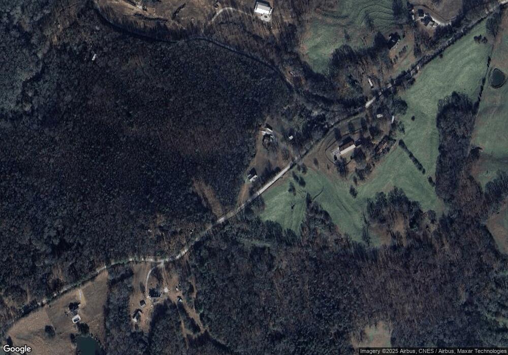
Map
- 0 River Ridge Dr Unit 10716943
- 1649 Brays Lake Rd
- 1898 Sandy Cross Rd
- 597 Meadow Brook Ln
- 711 Shackelford Rd
- 173 Andrews Rd
- 0 Quail Run Rd Unit 10753508
- 2775 Dawkins Rd
- 563 High Rd
- 836 Jackson Bridge Rd
- 2556 Turkey Creek Rd
- 138 Airport Rd Unit 14
- 174 Airport Rd Unit 12
- 206 Airport Rd Unit 11
- 154 Airport Rd Unit 13
- 4308 Athens Rd
- 735 Bowersville Rd
- 0 Turkey Creek Rd Unit 10671197
- 0 Turkey Creek Rd Unit 26024108
- 734 Bowersville Rd
- 1437 Atkinson Bridge Rd
- 1487 Atkinson Bridge Rd
- 1301 Atkinson Bridge Rd
- 1540 Atkinson Bridge Rd
- 1224 Atkinson Bridge Rd
- 0 Dollie Phillips Rd L1
- O Atkinson Bridge Rd
- 0 Dollie Phillips Rd L2
- 0 Atkinson Bridge Rd Unit 8312478
- 0 Atkinson Bridge Rd Unit 8800427
- 0 Atkinson Bridge Rd Unit 6734804
- 0 Atkinson Bridge Rd Unit 8660929
- 0 Dollie Phillips Rd Unit 8312481
- 0 Dollie Phillips Rd Unit 8306483
- 0 Dollie Phillips Rd Unit 8312474
- 0 Dollie Phillips Rd Unit 8306478
- 0 Dollie Phillips Rd Unit 3 8252962
- 0 Dollie Phillips Rd Unit 4 8252986
- 0 Dollie Phillips Rd Unit 2 8252939
- 0 Dollie Phillips Rd Unit 1 8252347
Ask me questions while you tour the home.