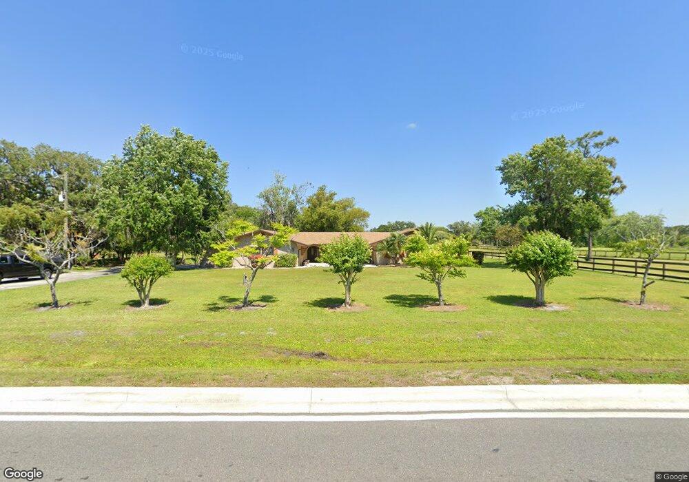
1373 Simmons Rd Kissimmee, FL 34744
Remington NeighborhoodEstimated Value: $542,000 - $746,168
--
Bed
3
Baths
2,437
Sq Ft
$259/Sq Ft
Est. Value
About This Home
This home is located at 1373 Simmons Rd, Kissimmee, FL 34744 and is currently estimated at $632,042, approximately $259 per square foot. 1373 Simmons Rd is a home located in Osceola County with nearby schools including Partin Settlement Elementary School, Neptune Middle School, and Gateway High School.
Ownership History
Date
Name
Owned For
Owner Type
Purchase Details
Closed on
Aug 18, 2006
Sold by
Pace Harold E and Pace Ruth A
Bought by
Lucas David B and Lucas Donna
Current Estimated Value
Home Financials for this Owner
Home Financials are based on the most recent Mortgage that was taken out on this home.
Original Mortgage
$53,000
Outstanding Balance
$42,926
Interest Rate
6.73%
Mortgage Type
Credit Line Revolving
Estimated Equity
$589,116
Create a Home Valuation Report for This Property
The Home Valuation Report is an in-depth analysis detailing your home's value as well as a comparison with similar homes in the area
Home Values in the Area
Average Home Value in this Area
Purchase History
| Date | Buyer | Sale Price | Title Company |
|---|---|---|---|
| Lucas David B | $530,000 | Security First Title Partner |
Source: Public Records
Mortgage History
| Date | Status | Borrower | Loan Amount |
|---|---|---|---|
| Open | Lucas David B | $53,000 | |
| Open | Lucas David B | $424,000 |
Source: Public Records
Tax History Compared to Growth
Tax History
| Year | Tax Paid | Tax Assessment Tax Assessment Total Assessment is a certain percentage of the fair market value that is determined by local assessors to be the total taxable value of land and additions on the property. | Land | Improvement |
|---|---|---|---|---|
| 2024 | $3,585 | $259,885 | -- | -- |
| 2023 | $3,585 | $252,316 | $0 | $0 |
| 2022 | $3,439 | $244,967 | $0 | $0 |
| 2021 | $3,414 | $237,833 | $0 | $0 |
| 2020 | $3,361 | $234,550 | $0 | $0 |
| 2019 | $3,314 | $229,277 | $0 | $0 |
| 2018 | $3,210 | $225,002 | $0 | $0 |
| 2017 | $3,207 | $220,375 | $0 | $0 |
| 2016 | $3,164 | $215,843 | $0 | $0 |
| 2015 | $3,208 | $214,343 | $0 | $0 |
| 2014 | $3,163 | $212,642 | $0 | $0 |
Source: Public Records
Map
Nearby Homes
- 2918 Sharp Rd
- 2810 Horton Rd
- 1289 Axel Graeson Ave
- 2684 Emerald Lake Ct Unit 2684
- 0 Simmons Rd
- 1242 Asher Mason Ave
- 2952 Gavin Sky Dr
- 1395 Emerald Dr
- 0 E Irlo Bronson Memorial Hwy Unit MFRS5114599
- 0 E Irlo Bronson Memorial Hwy Unit MFRS5114603
- 1315 Patricia St
- 1510 Frances St
- 2654 Ann Ave
- 2571 Ames Haven Rd
- 0 Broadview Dr
- 1067 Berkeley Dr
- 1072 Berkeley Dr
- 1074 Berkeley Dr
- 810 Mcinnis Ct
- 2714 Portchester Ct
- 1363 Daugherty Dr
- 1367 Daugherty Dr
- 1359 Daugherty Dr
- 1371 Daugherty Dr
- 1355 Daugherty Dr
- 1375 Daugherty Dr
- 2700 Sherman St
- 1379 Daugherty Dr
- 1383 Daugherty Dr
- 1351 Daugherty Dr
- 1387 Daugherty Dr
- 1391 Daugherty Dr
- 1347 Daugherty Dr
- 1395 Daugherty Dr
- 1397 Simmons Rd
- 2793 Merritt Dr
- 1399 Daugherty Dr
- 2796 Merritt Dr
- 1343 Daugherty Dr